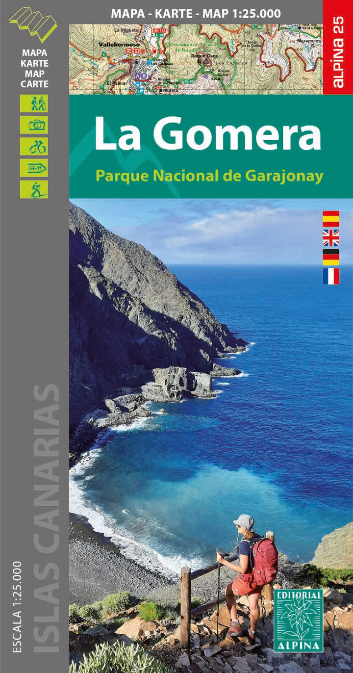
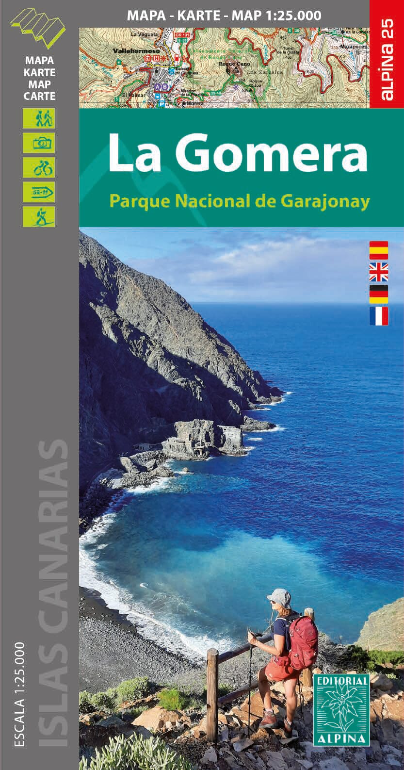
Hiking map - La Gomera, with Garajonay National Park | Alpina
- Shipping within 24 working hours from our warehouse in France
- Shipping method and fees are shown at checkout
- Free returns (*)
- Real-time stock levels
- In stock, ready to ship
Over 19,500 maps 🗺️ and travel guides, hiking maps, posters, globes, and décor items in stock!
Over 19,500 maps 🗺️ and travel guides, hiking maps, posters, globes, and décor items in stock!
Rated Excellent ⭐️ on Trustpilot — 9,000+ reviews from explorers and map lovers worldwide.
Rated Excellent ⭐️ on Trustpilot — 9,000+ reviews from explorers and map lovers worldwide.
Explore the world, one map at a time 🗺️
Explore the world, one map at a time 🗺️
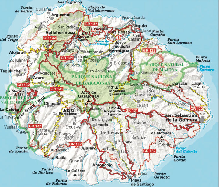
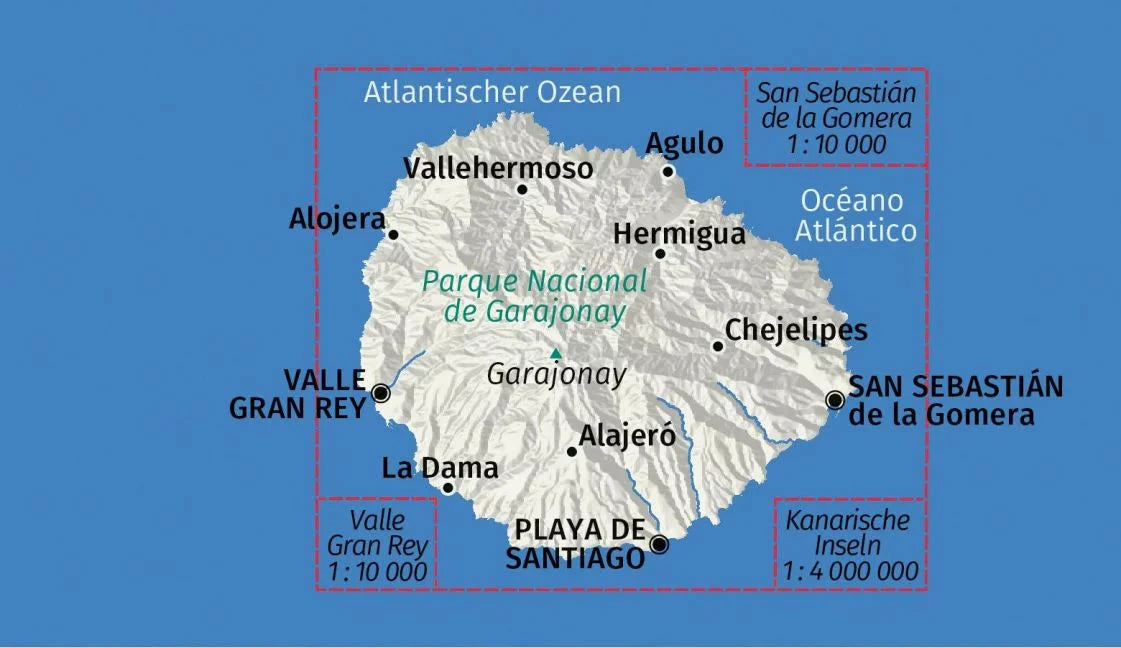
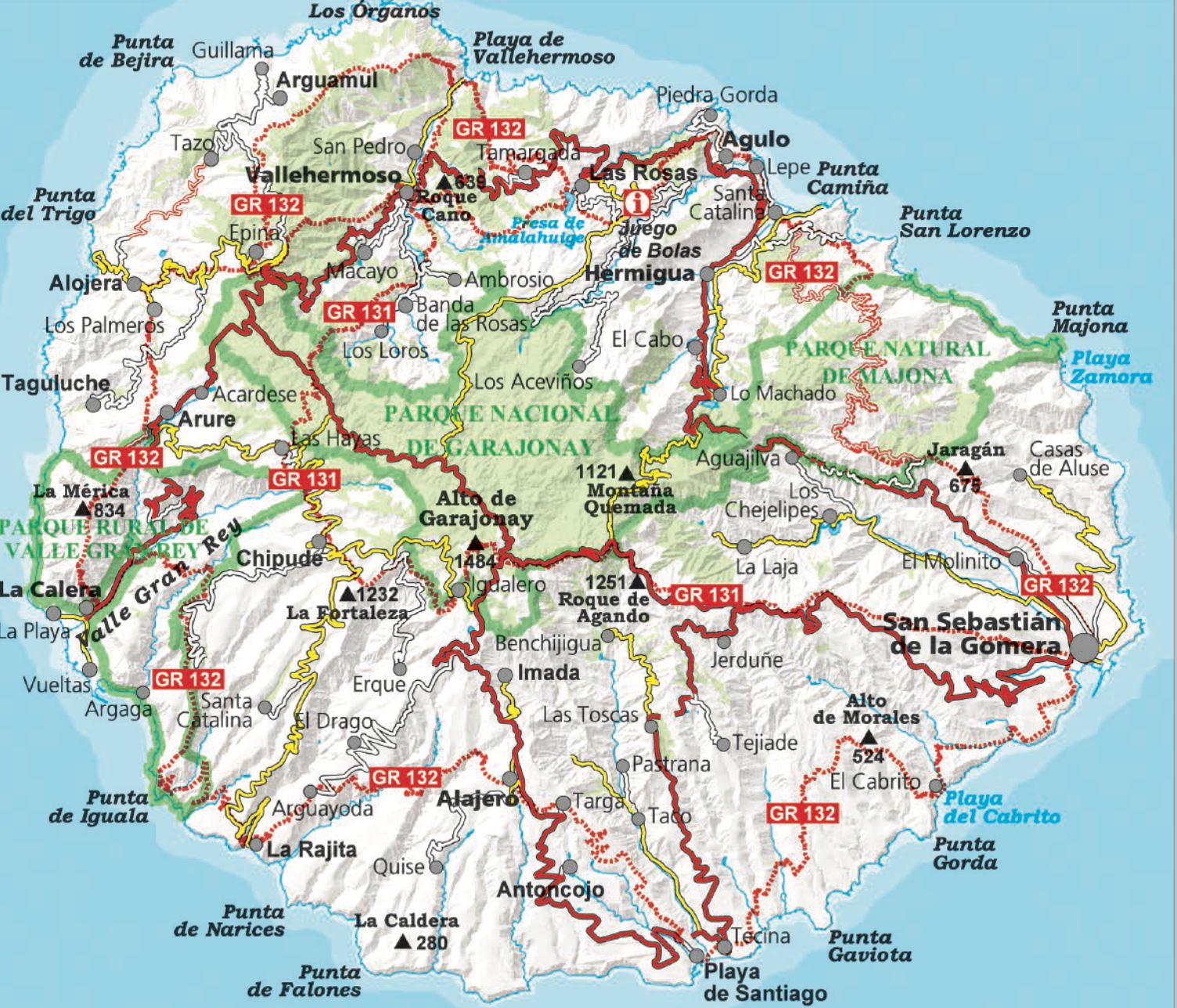
Detailed topographic map of La Gomera, including the Garajonay National Park. Contour lines spaced 10 m apart.
The island has been mapped at a scale of 1:25,000, printed on one side only. The map includes all marked trails: GR 131 and 132, the 41 Cabildo routes, and the 18 National Park routes. It also includes tourist and ethnological points of interest.
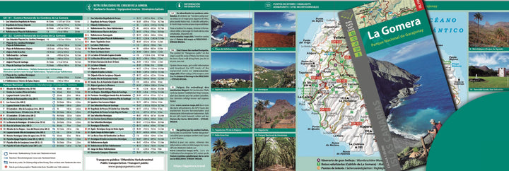
Additional information included in the file:
• Beautiful hikes
• Marked routes
• GR 131 - GR 132. National Park trails • Information
• Highlights
ISBN/EAN : 9788480909815
Publication date: 2024
Scale: 1/25,000 (1cm=250m)
Printed sides: front
Folded dimensions: 11.5 x 22.5cm
Unfolded dimensions: 90 x 130cm
Language(s): French, English, German, Spanish
Weight:
199 g
Gomera is a paradise for serious hikers who love steep hills, short distances and beautiful sceenery. The 1:25 000 map is a must if you want to explore the hiking paths on the small island (diameter only 22-23 km). Reasonably reliable bus service makes it possible to make extensive hikes using a single base (e.g. in La Calera in Valle Gran Rey).
Carte super détaillée et facile à lire. Très satisfaite de mon achat
The exclusive newsletter for travel and discovery enthusiasts!
