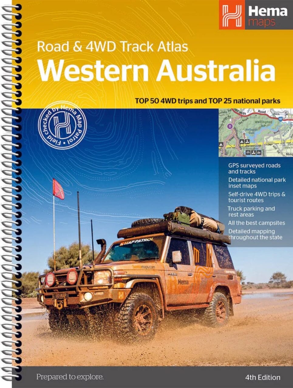
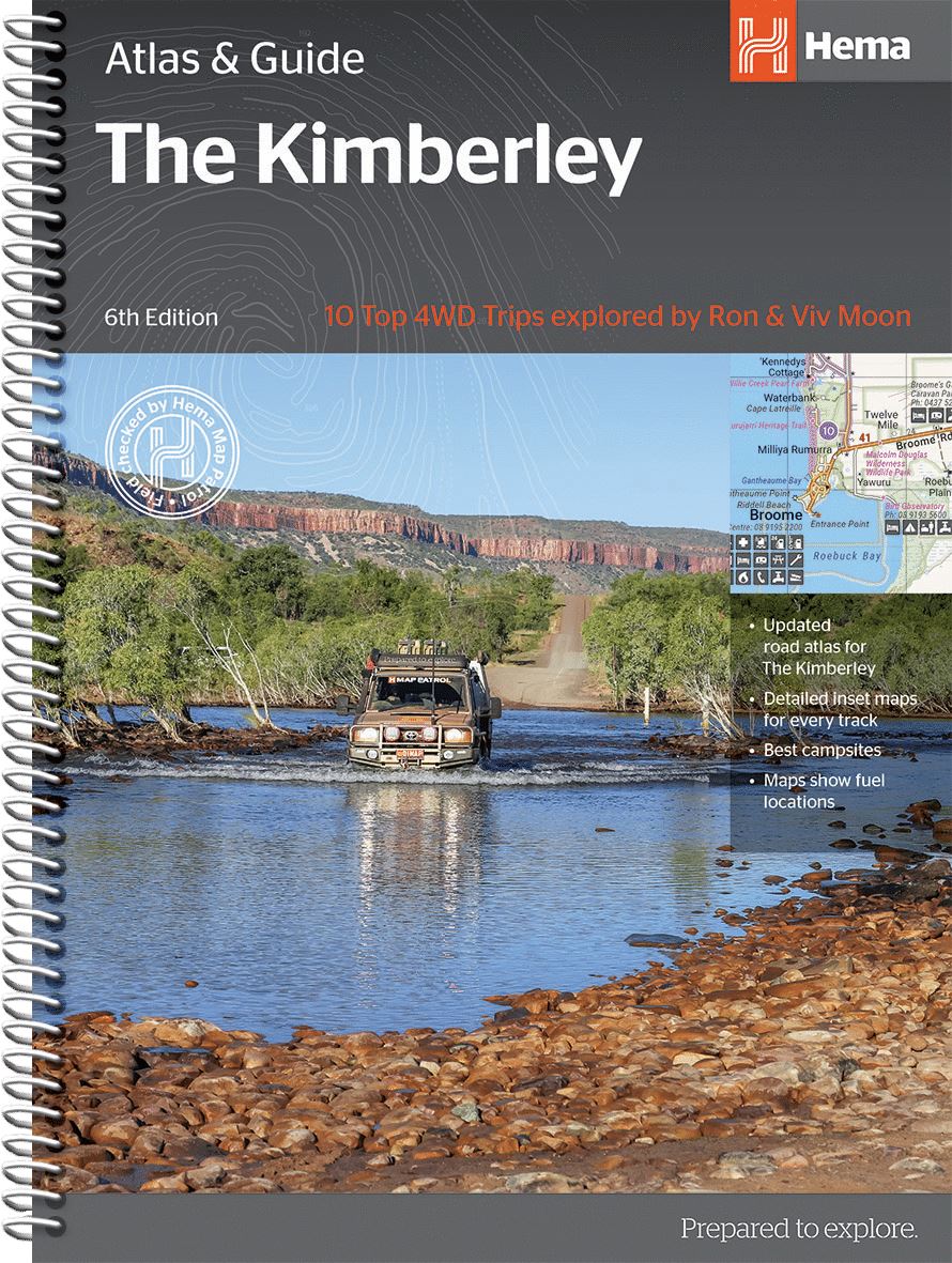
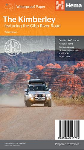
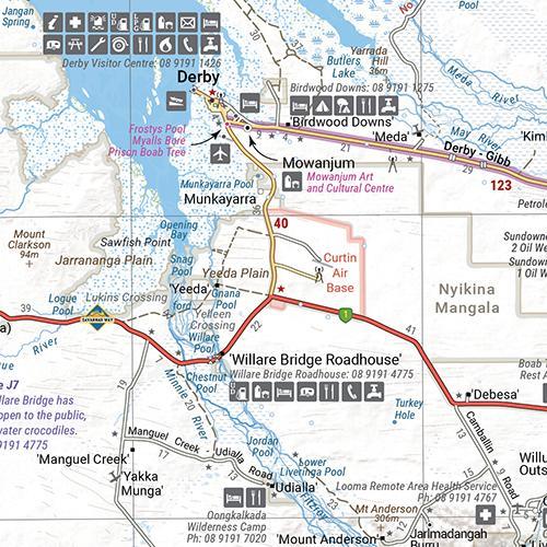
Western Australia Road map published by ITM.
The state of Western Australia occupies the western third of the continental country of Australia. The main city is Perth, in the southwestern part, and it is the part of the state with the best lands and the most populated. Much of the interior consists of arid desert meadows with shallow lakes that often do.
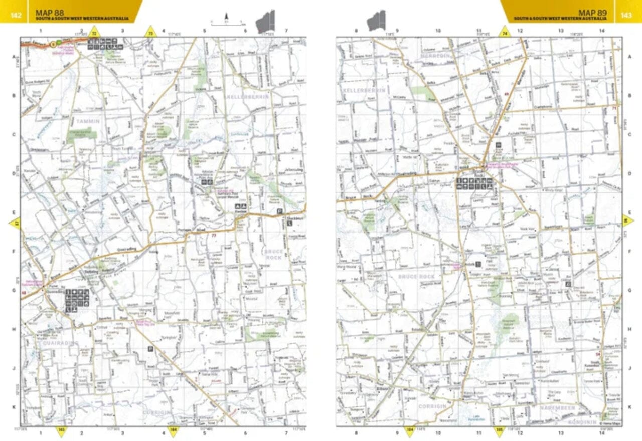
The road network in the south is usually paved roads and secondary roads. The roads in the North tend to be in the ground, with the exception of the motorway to Darwin to the northwest. There are no roads through the great sandy desert, but the Canning Stock Route crosses the eastern fringe, going from north to south. It takes an expensive license to drive this dangerous track.
Most state attractions are close enough to the coast. Most major urban areas tend to bring the names of British places, such as Albany, Exmouth and Port Hedland, but many names have been adopted from indigenous sources, such as KalgooLie.


