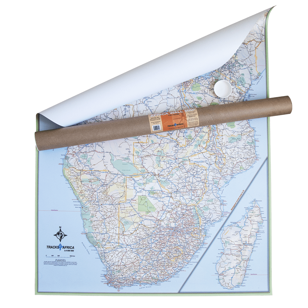
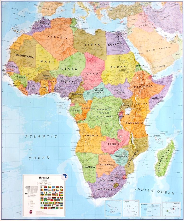
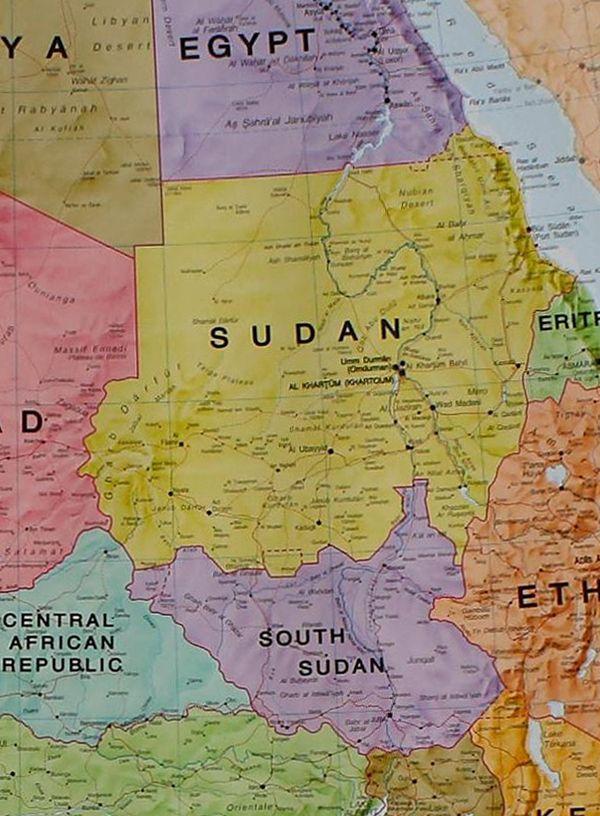
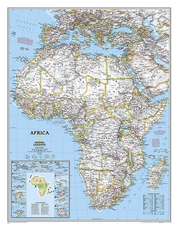
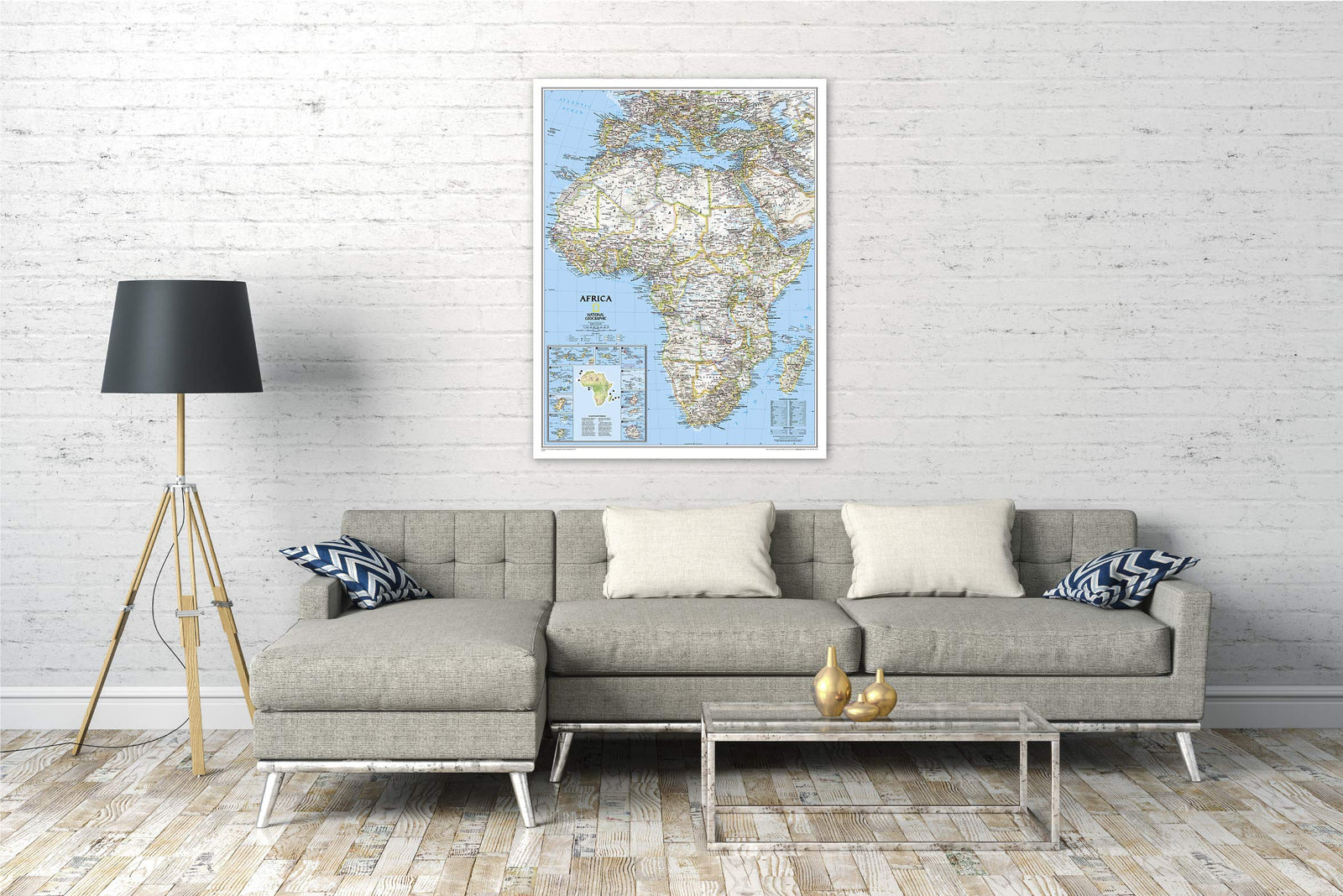
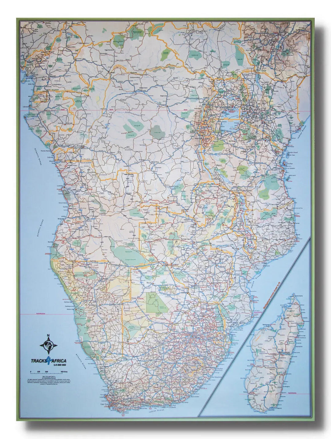
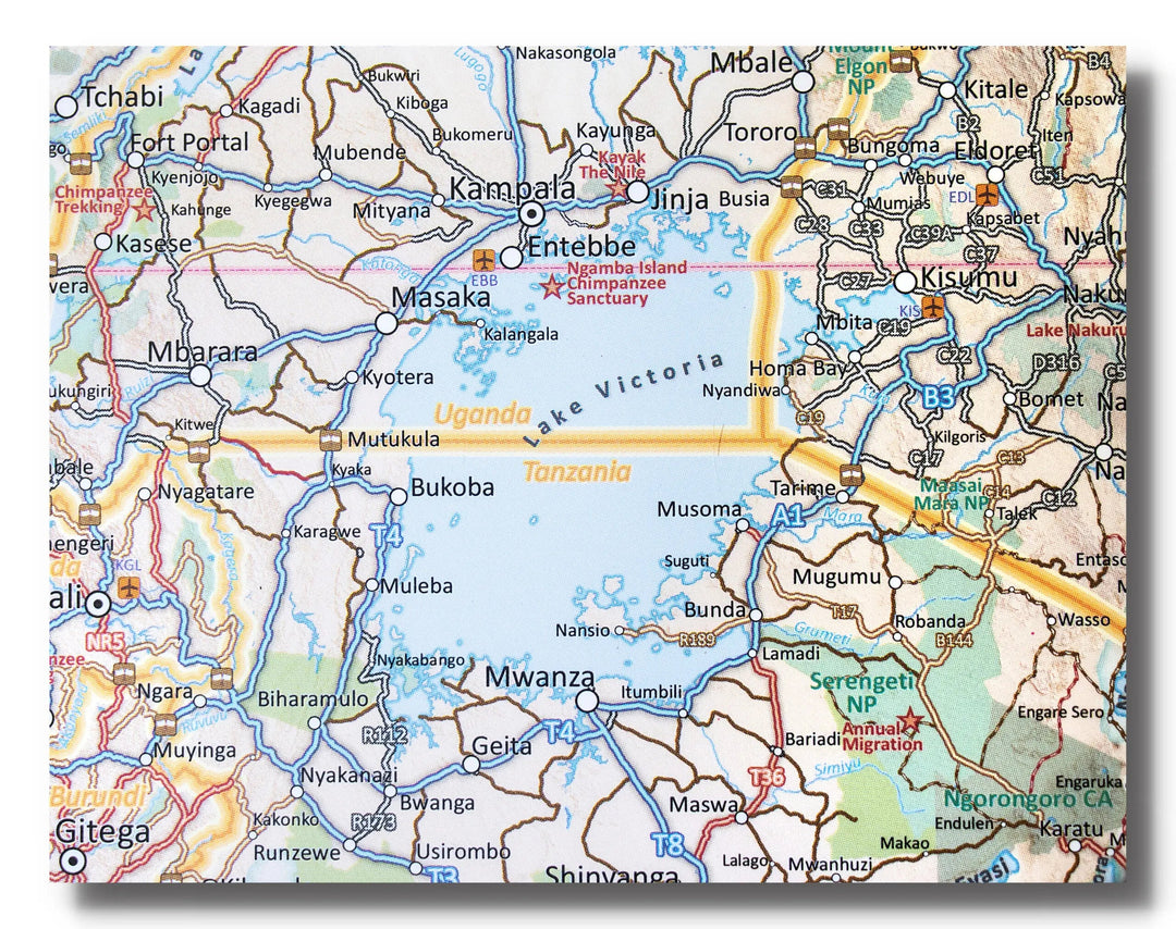
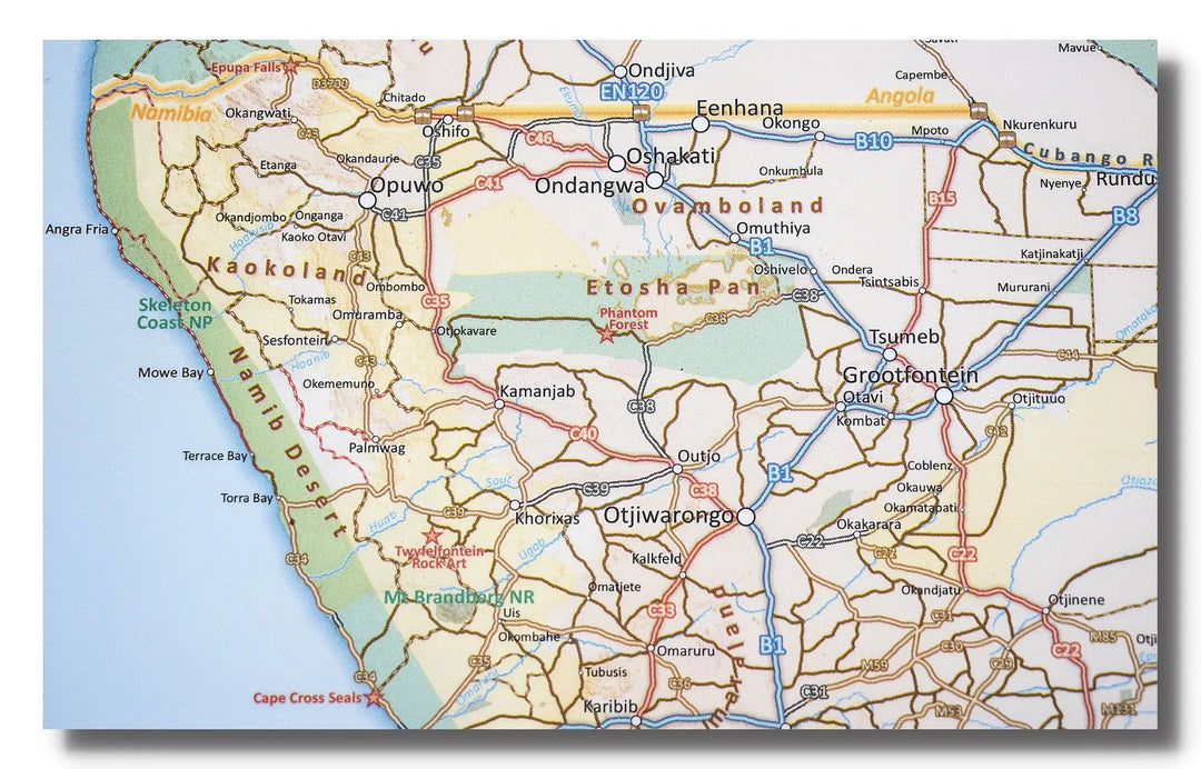
Laminated Wall Map - Africa, Southern Part - 130 x 98 cm | Tracks4Africa
- Expédition sous 7 à 10 jours ouvrés depuis notre entrepôt en France
- Frais de livraison calculés instantanément dans le panier
Plus de 19 500 cartes 🗺️ et guides de voyage, cartes de randonnée, posters, globes, déco en stock !
La Compagnie des Cartes devient Cartovia ✨ Notée Excellent ⭐️ sur Trustpilot (9 000+ avis).
Livraison gratuite pour toute commande > 50 € (cartes pliées et guides, France métropolitaine)
The Tracks4Africa wall map of the southern part of Africa is printed at a scale of 1:4,000,000 (1 cm = 40 km) and and is laminated on both sides.
It provides a wealth of information for travelers. The map is perfect for macro-planning long road trips across the African continent as far east as Ethiopia and Gabon.
The map shows major and minor roads, parks, towns, and a good number of tracks in remote areas. Major tourist attractions are marked. International airports and country borders suitable for vehicle crossings are indicated.
The map covers the area from South Africa in the south to Ethiopia and Gabon in the north. Please note that not all of Ethiopia could be included, but the map extends as far north as Addis Ababa.
Please note: This map may take approximately one additional week to ship.
ISBN / EAN : 9780620907293
Date de publication : 2021
Echelle : 1/4,000,000 (1cm=40km)
Dimensions déplié(e) : 130 x 98cm
Langue : English
Poids :
300 g
L'infolettre exclusive des passionnés de voyage et de découverte !