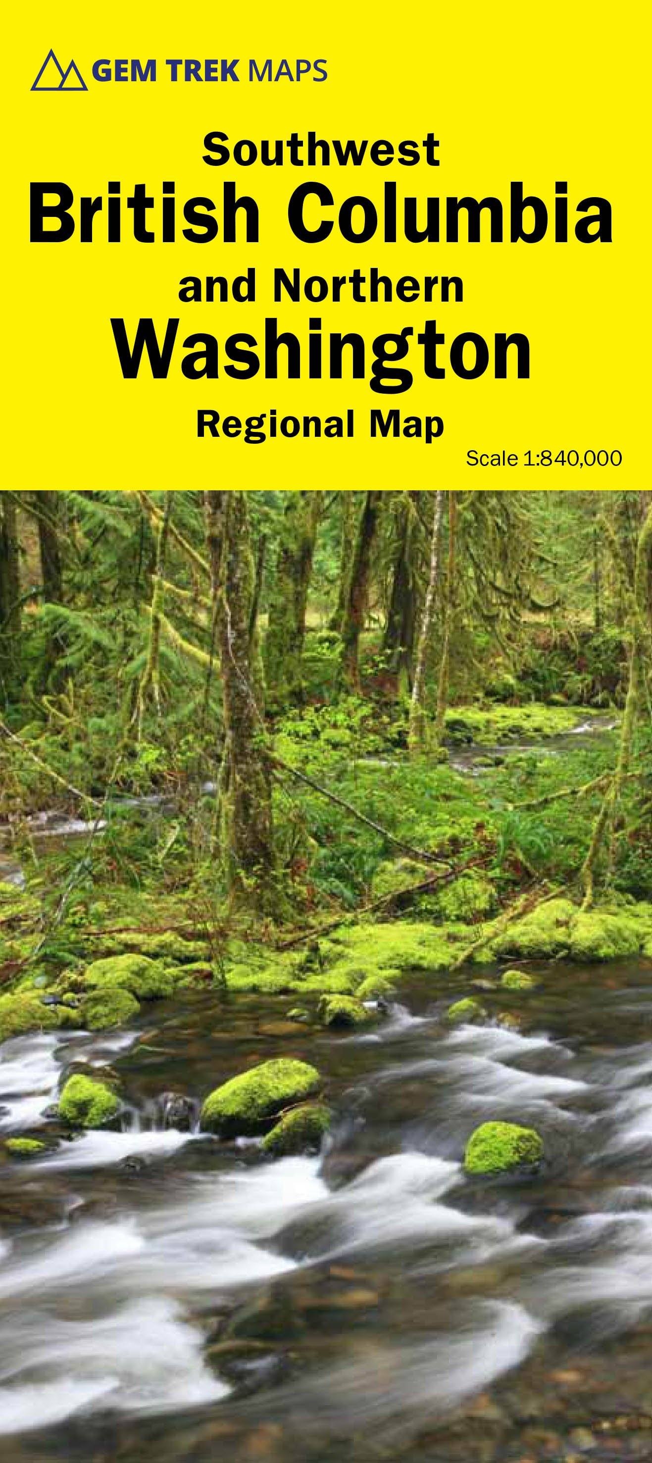
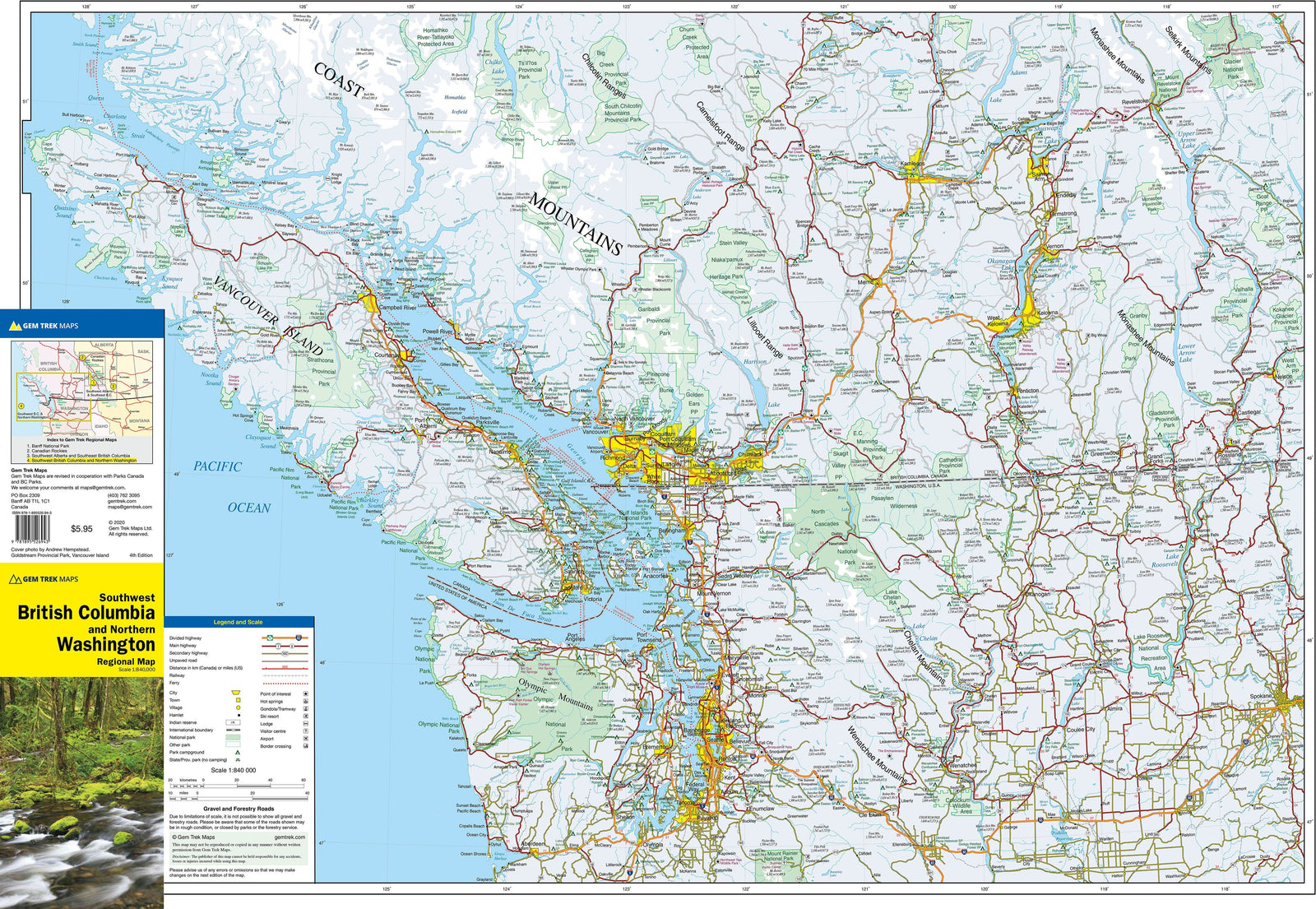
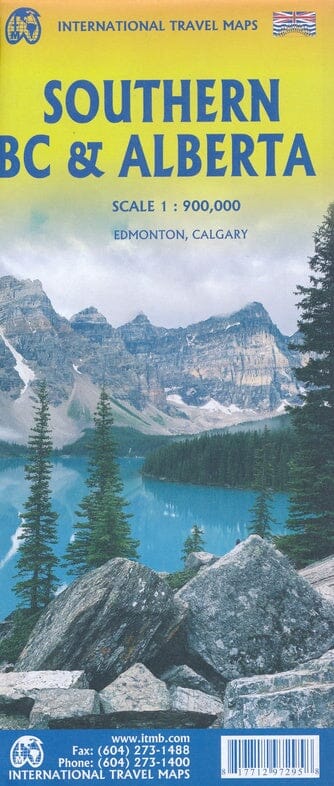
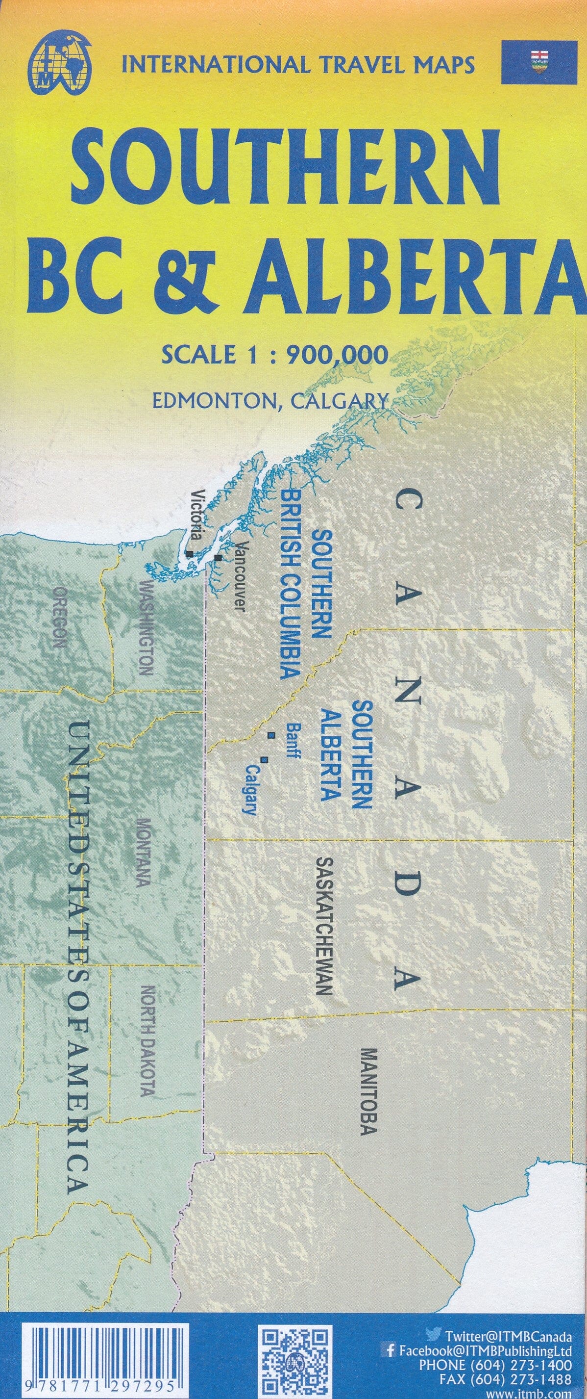
Road map - British Columbia Southwest & North Washington State | Gem Trek

Price
Regular price 101 kr
Regular price Sale price 101 kr
/
  • Shipping within 24 working hours from our warehouse in France
  • Choisissez votre mode et vos frais de livraison à l’étape de paiement, avant de valider.
  • Retours gratuits (*)
  • Stocks en temps réel
  • In stock, ready to ship
  • Backordered, shipping soon
Tax included.

Souvent achetés ensemble :

Southwestern British Columbia Map and the Northern Washington State (with Seattle) published by Gem Trek.

The map of southwestern British Columbia and Northern Washington covers the entire island of Vancouver and extends west through the city of Vancouver and the Okanagan Valley to the Kootenays. On the south of the border, the state of Washington is covered from the Gulf Islands to the west to Spokane east, with a blanket to the south of Mont Rainer National Park.

Indications on the map:

  • hydrology - rivers, glaciers, wetlands and waterfalls
  • mountain names and all mountain altitudes available
  • National, provincial and state parks
  • towns, villages and villages
  • Campgrounds


ISBN/EAN : 9781895526943
Publication date: 2020
Scale: 1/840,000 (1 cm = 8.4 km)
Printed sides: both sides
Folded dimensions: 24.7 x 11.5 x 0.5cm
Unfolded dimensions: 101 x 67cm
Language(s): English
Weight: 70 g