Los Angeles, Californie | Rand McNally plan de ville Rand McNally

Los Angeles, California | Rand McNally

Price
Regular price 107 kr
Regular price Sale price 107 kr
/
  • Shipping within 48 business hours from our warehouse in the USA. For this product, customs fees may be requested by the carrier upon delivery.
  • Choose your delivery method and cost at checkout, before confirming your order.
  • Free returns (*)
  • Real-time inventory
  • Low stock - 2 items left
  • Backordered, shipping soon
Tax included.

Often purchased together:

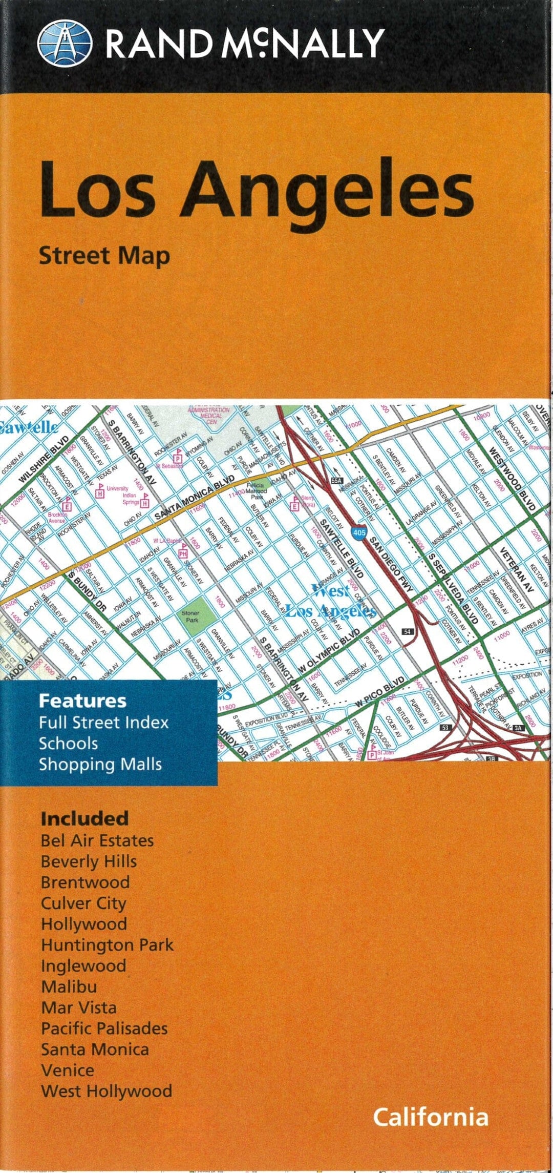
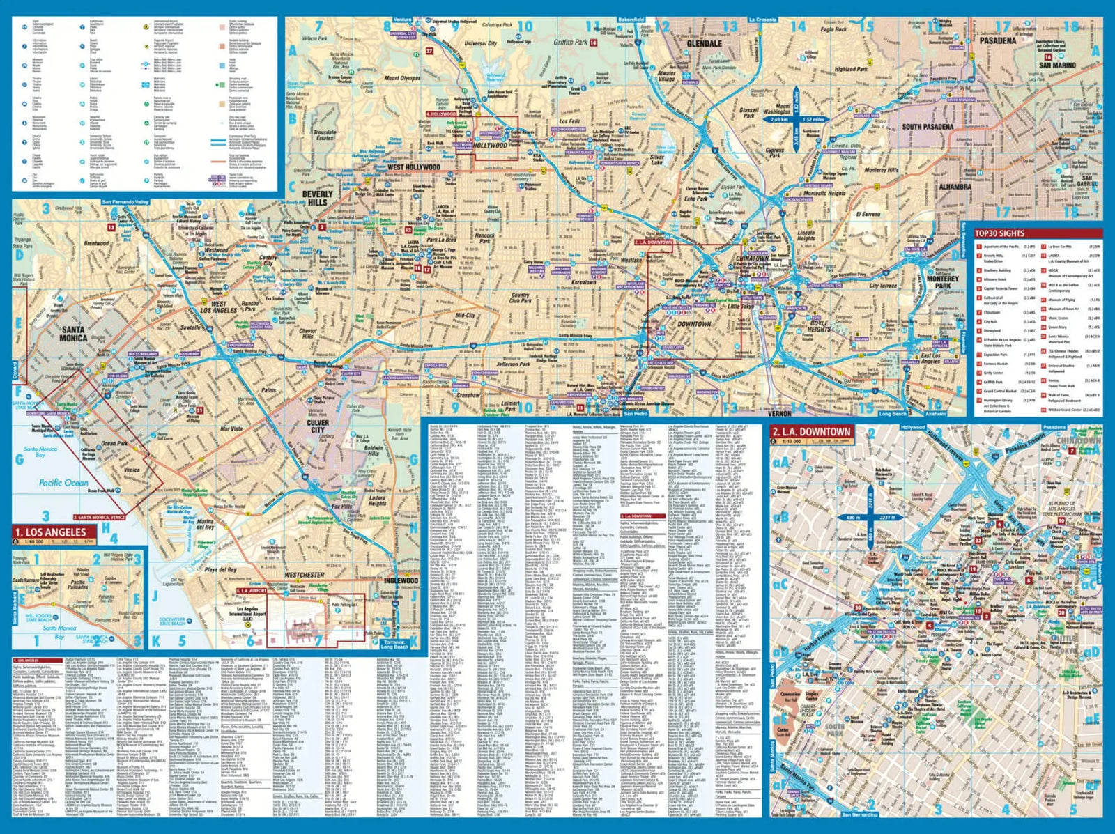
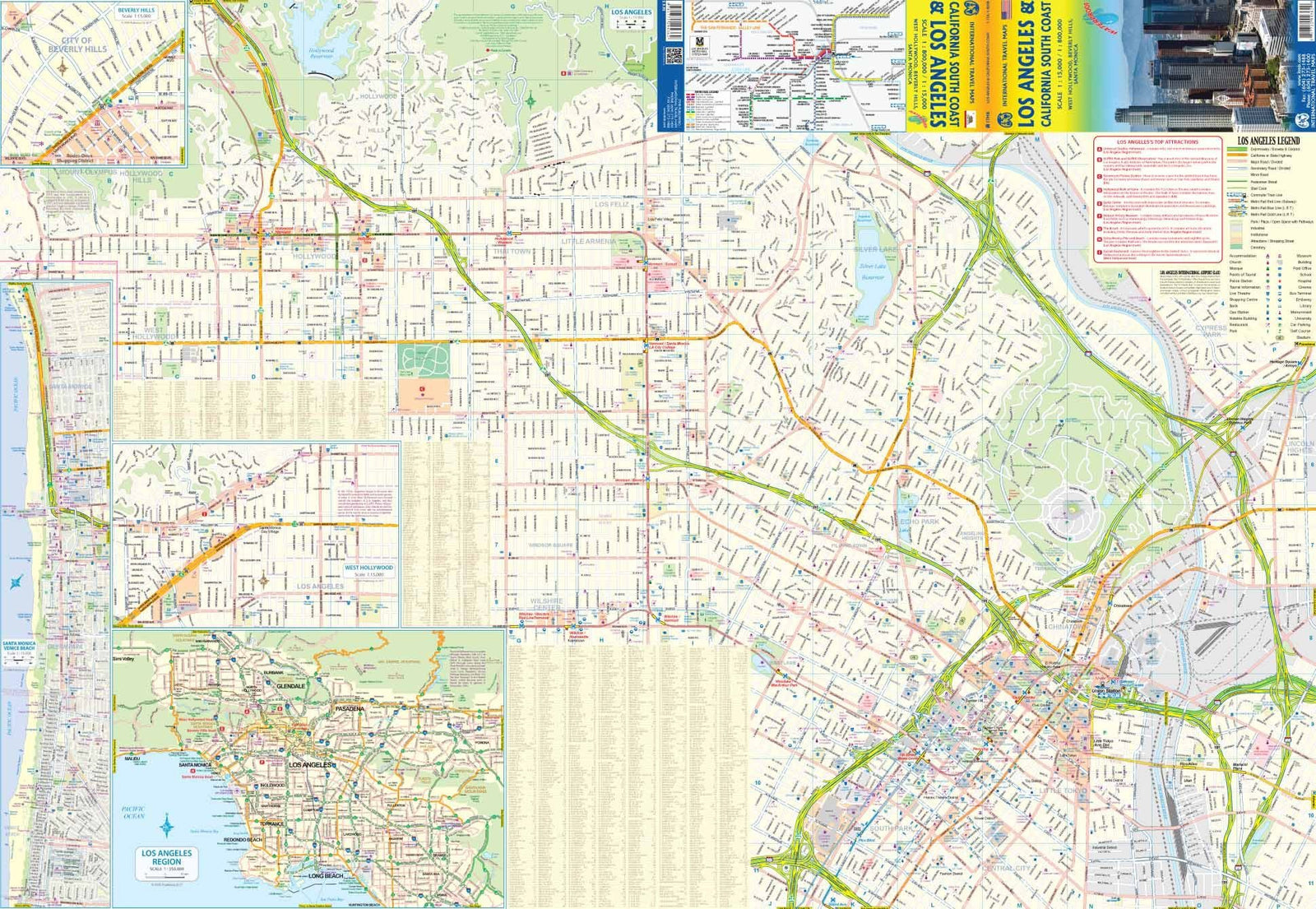
This Rand McNally road map is the essential tool for discovering Los Angeles and its surroundings. Accurate, reliable, and easy to use, it's perfect for both visitors and locals who want to explore the California region with complete peace of mind.

Main features:

  • Map regularly updated

  • color printing

  • Clear display of road routes:

    • Interstate highways

    • US highways

    • State roads and county roads

  • Geographical landmarks:

    • Parks, airports, schools, shopping centers

    • Points of interest

    • County boundaries

    • Maps of the city center and surrounding areas

  • Complete street index

  • Simple and intuitive legend

  • Convenient folding format

Areas covered:

The map includes Los Angeles and several surrounding neighborhoods and municipalities:

  • Bel Air Estates

  • Beverly Hills

  • Brentwood

  • Culver City

  • Hollywood

  • Huntington Park

  • Inglewood

  • Malibu

  • Mar Vista

  • Pacific Palisades

  • Santa Monica

  • Venice

  • West Hollywood


ISBN/EAN : 9780528027680
Publication date: 2024
Folded dimensions: 9.06 x 4.33 inch / 23 x 11cm
Unfolded dimensions: 38.58 x 26.77 inches / 98 x 68cm
Language(s): English
Weight: 70 g