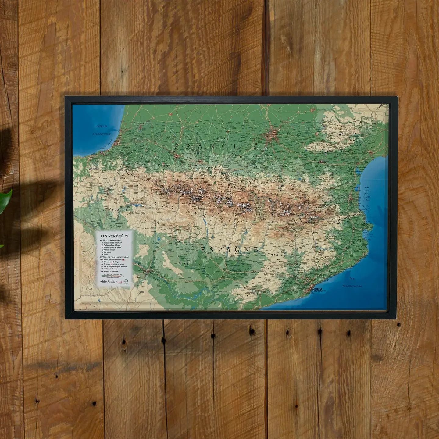
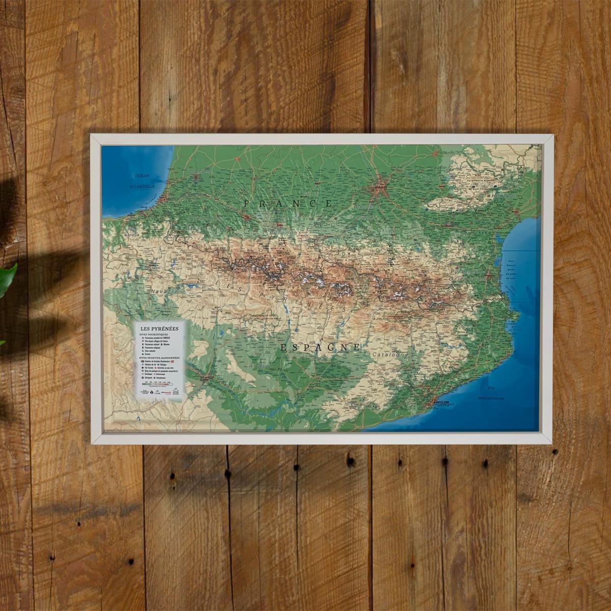
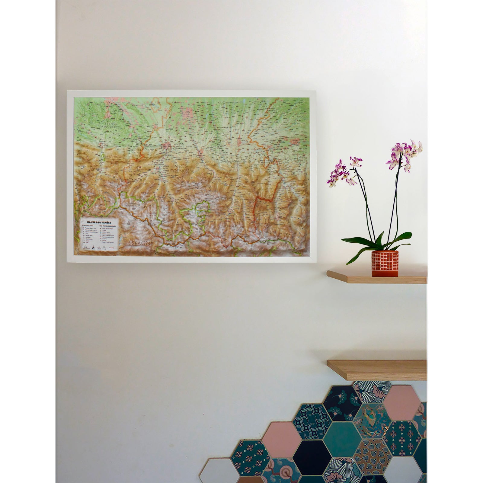
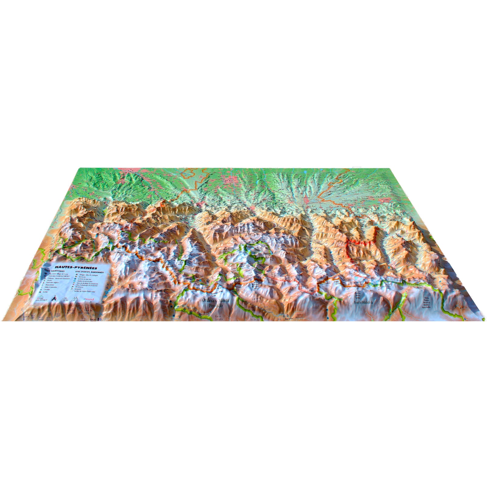
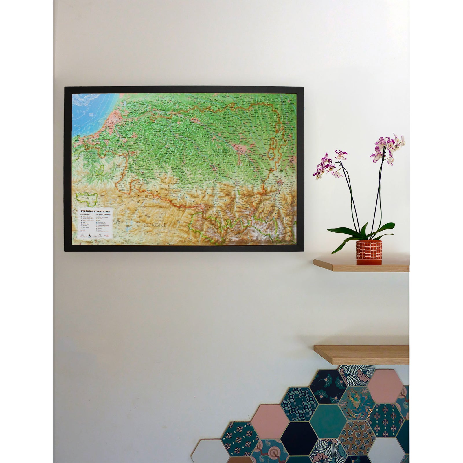
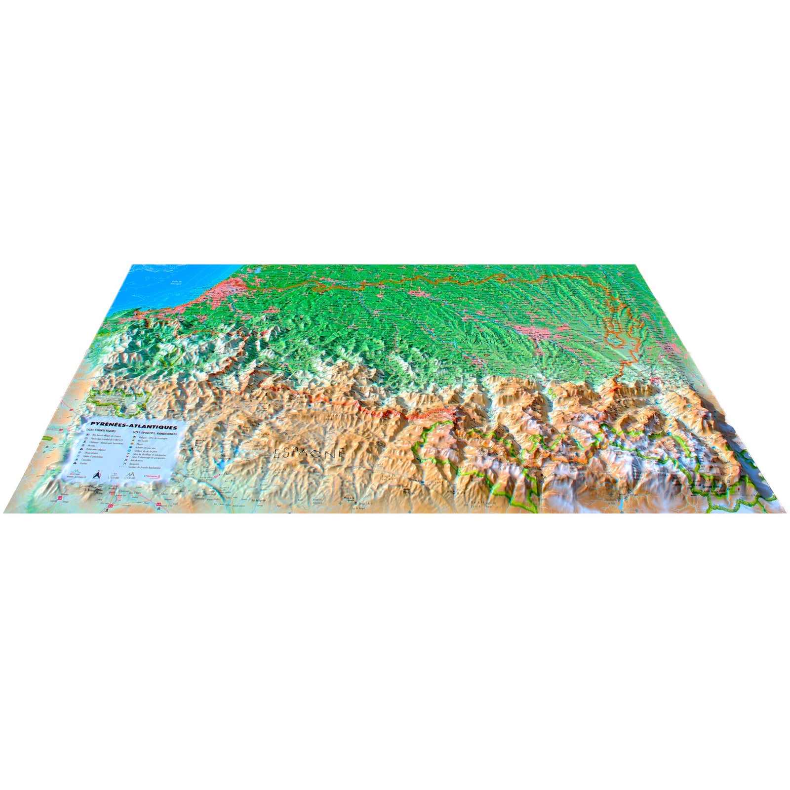
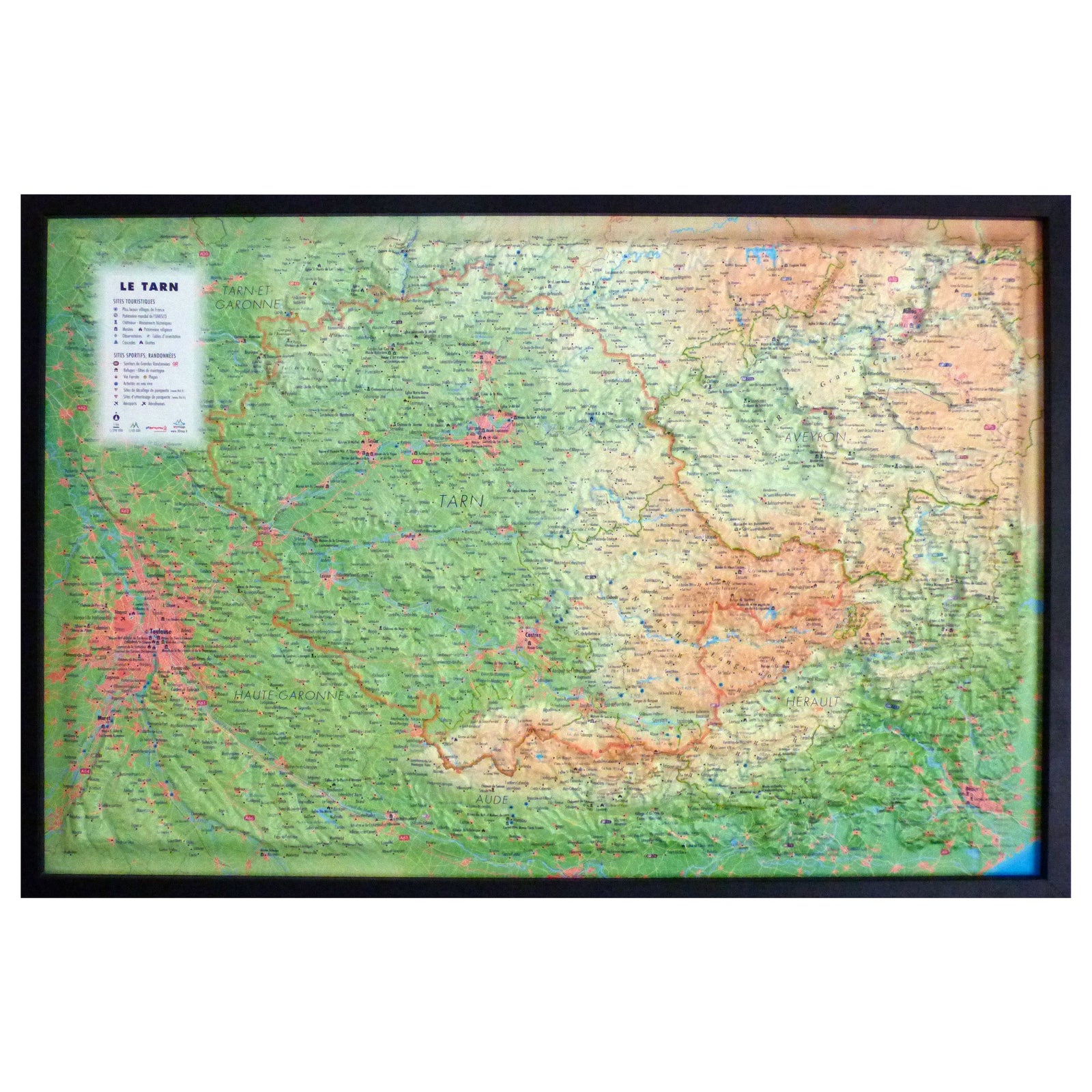
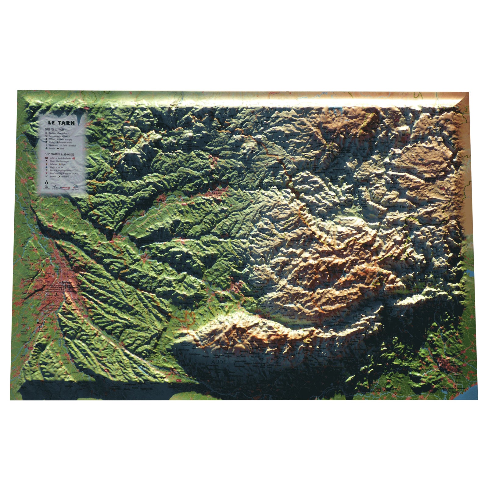
3D Raised relief map - Pyrenees - (61 cm x 41 cm) | 3D Map (French)
- Shipping within 24 working hours from our warehouse in France
- Frais de livraison calculés instantanément dans le panier
- Stocks en temps réel
- In stock, ready to ship
Plus de 19 500 cartes 🗺️ et guides de voyage, cartes de randonnée, posters, globes, déco en stock !
La Compagnie des Cartes devient Cartovia ✨ Notée Excellent ⭐️ sur Trustpilot (9 000+ avis).
Livraison gratuite pour toute commande > 50 € (cartes pliées et guides, France métropolitaine)
Relief wall map of the Pyrenees.
A finishing frame is also available as an option: We highly recommend it to make hanging easier and to enhance the appearance of your map.
Information included on the map:
- General data:
• Hydrological, natural and hypsometric data - Administrative data
- Tourist attractions:
• Most beautiful villages in France
• Cultural Heritage
• Museums
• Religious Heritage
• Natural Sites
• Waterfalls
• Prehistoric Sites
• Caves
• Belvédères, Orientation Tables < BR>
- Sports Sites, Hiking:
• Large hiking trails
• Refuges and Gîtes
• Alpine ski resorts, Nordic skiing • Via Ferrata
• Thermal stations
• Beaches
• Live water activities
• Paragliding practice sites (www.ffvl.com)
• Takeoffs, landings
• Airports, Aerodromes
- scale & amp Dimensions:
• Planimetric scale: 1: 800 000
• Altimetry ladder: 1: 150,000
• 61 cm x 41 cm
ISBN / EAN : 9791097206192
Date de publication : 2019
Echelle : 1/800,000 (1cm=8km)
Dimensions déplié(e) : 61cm x 41cm
Langue : French
Poids :
136 g
Carte conforme à la description. Rapide et efficace.
I love it.
Produit et livraison conformes à mes attentes
L'infolettre exclusive des passionnés de voyage et de découverte !