Atlas de poche des rues d'Ottawa et de Gatineau | Canadian Cartographics Corporation atlas Canadian Cartographics Corporation Default Title

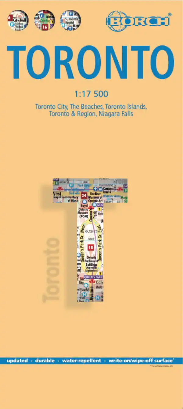
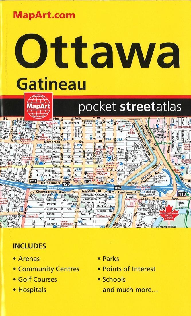
Pocket Street Atlas of Ottawa and Gatineau | Canadian Cartographics Corporation

Price
Regular price 109 kr
Regular price Sale price 109 kr
/
  • Shipping within 48 business hours from our warehouse in the USA. For this product, customs fees may be requested by the carrier upon delivery.
  • Shipping method and fees are shown at checkout
  • Free returns (*)
  • Real-time stock levels
  • In stock, ready to ship
  • Backordered, shipping soon
Tax included.

Frequently bought together:

This pocket guide features details of Gatineau's streets and tourist sites, including street maps of Angers, Aylmer, Barrhavan, Blackburn Hamlet, Buckingham, Carp, Chelsea, Constance Bay, Country Hill Estates, Cumberland, Fitzroy Harbour, Gatineau, Gloucester, Greely, Hull, Kanata, Kars, Kenmore, Manotick, Masson, Metcalfe, Munster, Navan, Nepean, North Gower, Orléans, Osgoode, Downtown Ottawa, Richmond, Rockcliffe Park, Stittsville, Vanier, Vars, Vernon, and West Carleton.
Unfolded dimensions: 7.09 in x 4.33 in (18 cm x 11 cm)


ISBN/EAN : 9781553683773
Publication date: 2019
Language(s): English
Weight: 0.13 kg