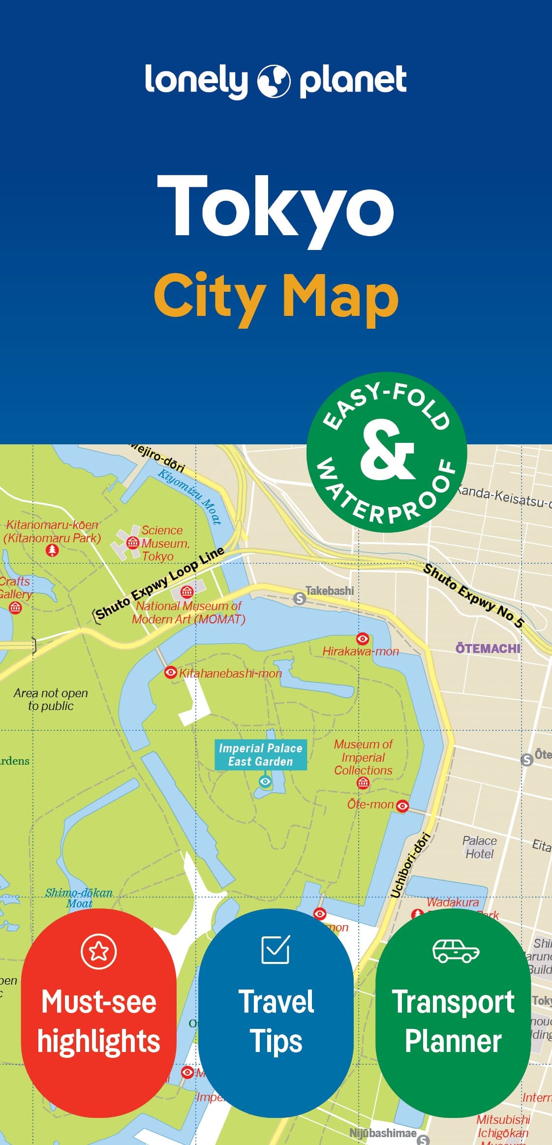
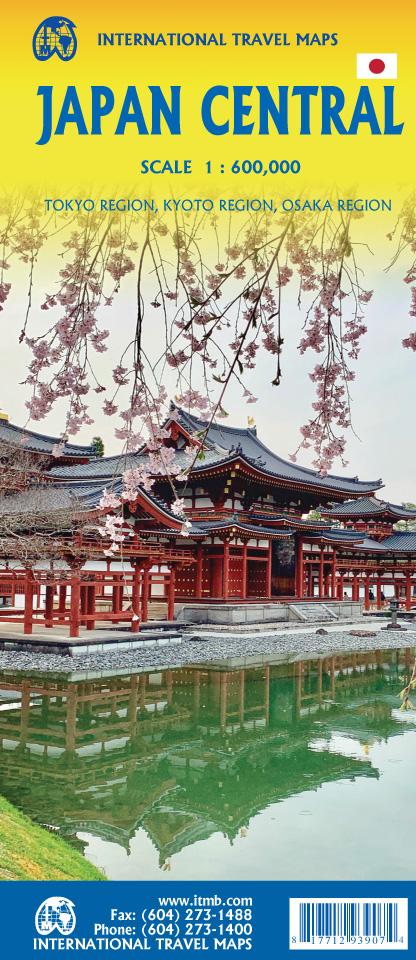
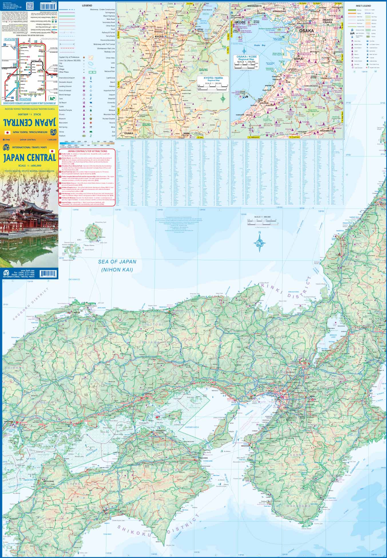
Waterproof road map of central Japan and Tokyo city map. Useful for planning your trip and getting around the Japanese capital and its surrounding areas independently.
On the front, a general map of central Japan and on the back, a detailed map of the capital, accompanied by a subway map and a small map of the greater Tokyo area.
The legend includes: attractions, airports, beaches, ski areas, religious buildings, lighthouses, UNESCO World Heritage sites, national parks.
City map: attractions, museums, religious buildings, parks, post offices, theaters, cinemas, police stations, embassies, hospitals, internet cafes, department stores.
The legend is in English and Japanese. Note that place and street names are written in the Latin alphabet.


