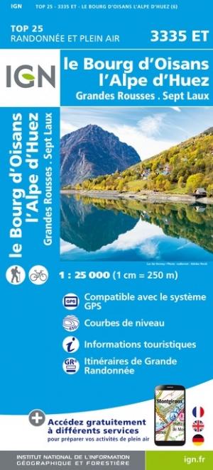
Hiking map No. 5 - Écrins Massif, Grandes Rousses, Cerces, Clarée | Didier Richard

Price
Regular price 180 kr
Regular price Sale price 180 kr
/
  • Shipping within 24 working hours from our warehouse in France
  • Choisissez votre mode et vos frais de livraison à l’étape de paiement, avant de valider.
  • Retours gratuits (*)
  • Stocks en temps réel
  • In stock, ready to ship
  • Backordered, shipping soon
Tax included.

Souvent achetés ensemble :

Hiking map covering the Massif des Écrins region, Grandes Rousses, Cerces, and Clarée (published by Didier Richard).
- IGN data
- Signage for all sports, cultural, and tourist sites
- Indication of marked hiking trails
- Indication of natural resources, heritage sites, and tourist attractions
- Useful contact information.


ISBN/EAN : 9782344065129
Publication date: 2024
Scale: 1/60,000 (1cm=600m)
Printed sides: both sides
Folded dimensions: 11 x 25cm
Unfolded dimensions: 132 x 100cm
Language(s): French
Weight: 80 g