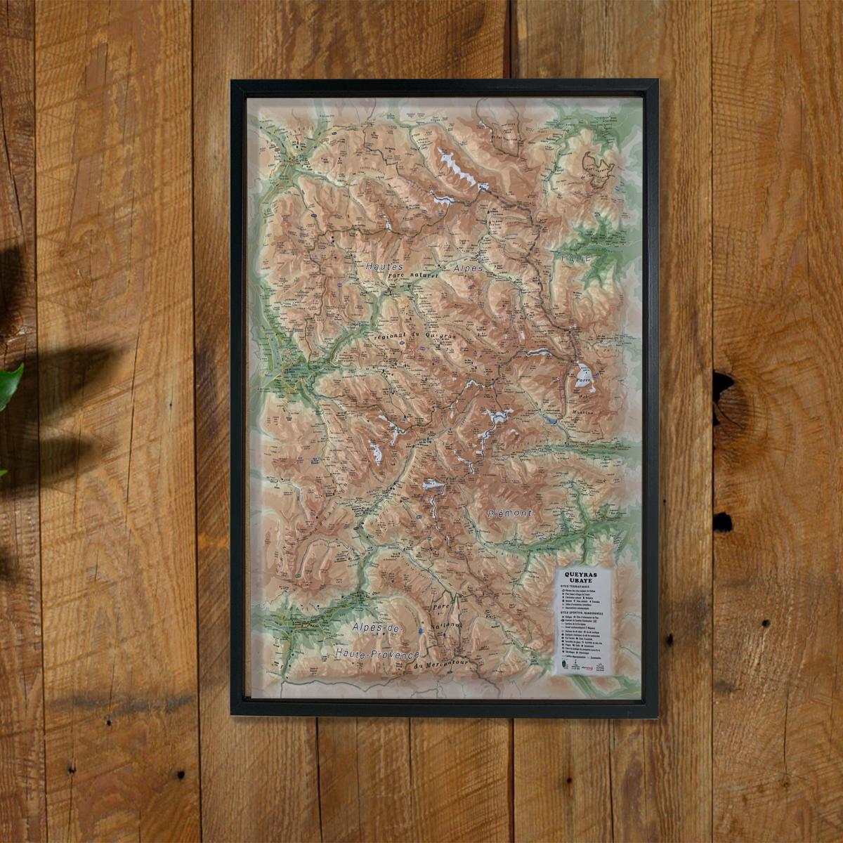
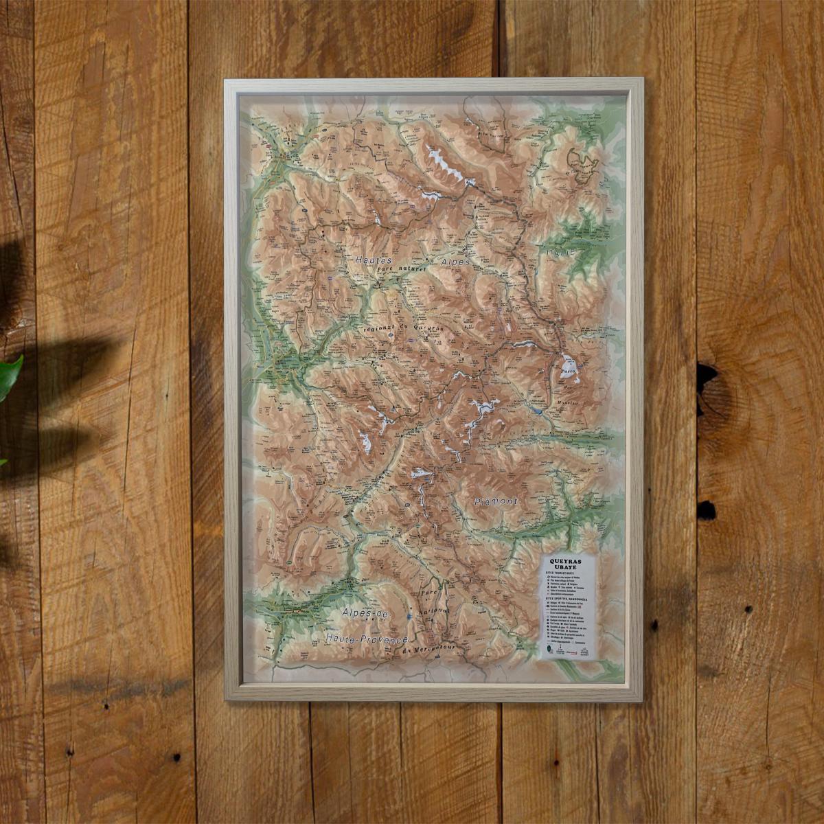
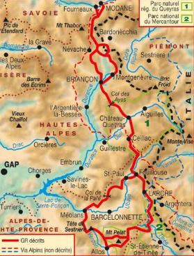
TOP 75 Map No. 8 - Ubaye, Val d'Allos & Serre-Ponçon Lake (Alps) | IGN

Price
Regular price 110 kr
Regular price Sale price 110 kr
/
  • Shipping within 24 working hours from our warehouse in France
  • Choose your delivery method and cost at checkout, before confirming your order.
  • Free returns (*)
  • Real-time inventory
  • In stock, ready to ship
  • Backordered, shipping soon
Tax included.

Often purchased together:

Ubaye Top 75 Top 75 map, Val Allos and Lake Serre-Ponçon published by IGN. This detailed map covers the region between Orcières - Merlette and Allos (from North to South) and Lake Serre-Ponçon Larches (West East). Level curves, detailed legend and indication of hiking trails. Index of cities. This map includes 5 zooms on a scale 1 / 25,000 (1 cm = 250 m) to discover exceptional hikes.


ISBN/EAN : 9782758555476
Publication date: 2024
Scale: 1/75,000 (1cm=750m) & 1/25,000 (1cm=250m)
Printed sides: front
Folded dimensions: 24.6 x 11.2 x 0.7cm
Unfolded dimensions: 110x100cm
Language(s): French, English, German
Weight: 89 g