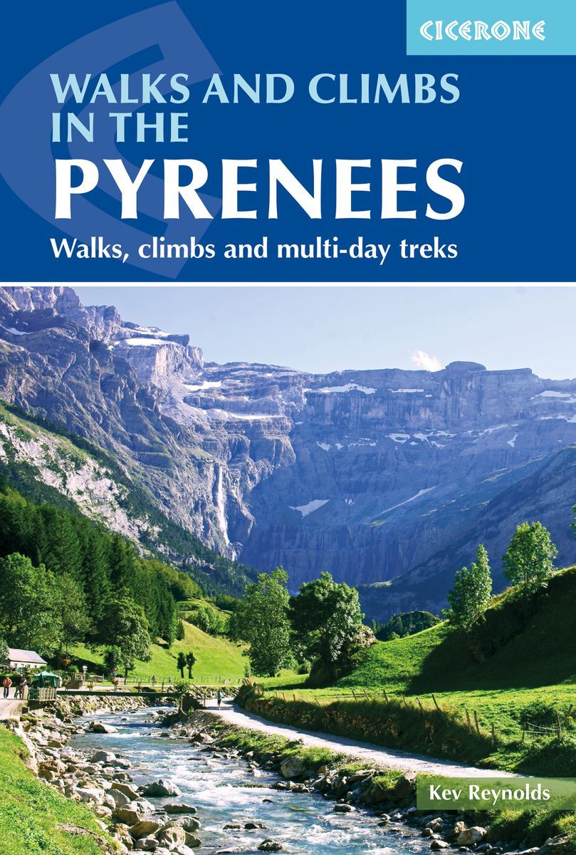
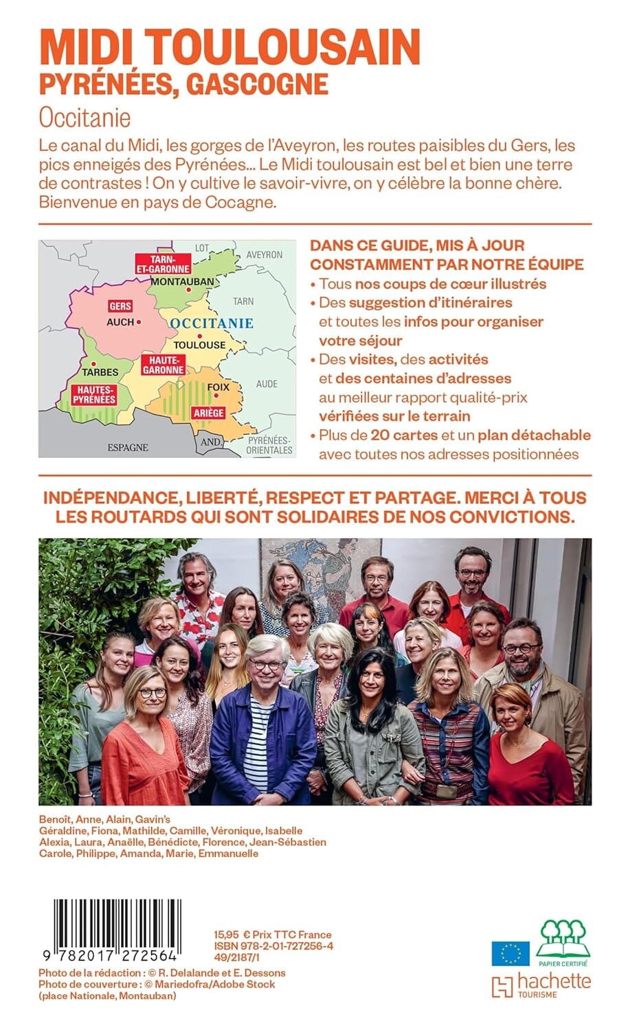
Pocket Topoguide (English) of the Cicerone Editor with detailed maps for hiking in the Pyrenees.
Description provided by the publisher:
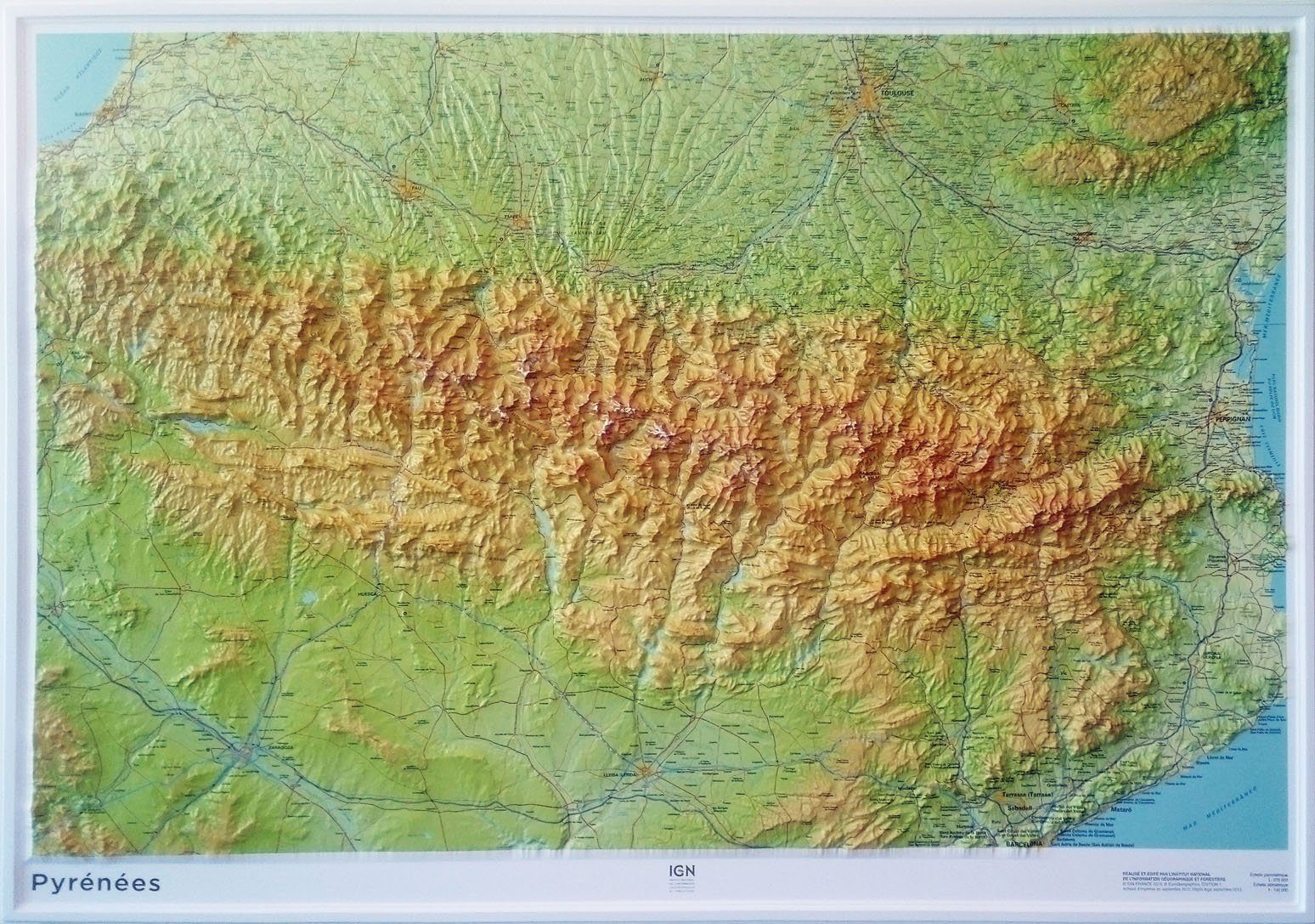
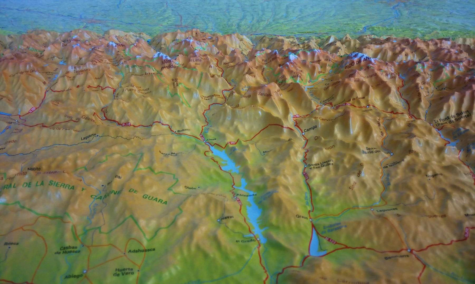
Essential Guidebook of walks and Climbs in the Pyrenees, One of Europe's Finest Mountain Ranges. The Guide Includes 170 Day walks, Multi - Day walks, Climbing Routes and Mountaineering Ascent, and Covers All Valleys and Peaks on Both Sides of the Border with France and Spain, with Through Routes and Peaks to Bag.
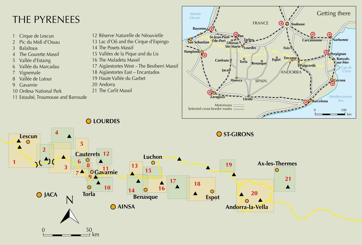
The Divide Guidebook The Range Into 21 Sections, Including Andorra, The Ordesa National Park, The Carlit Massif, Gavarnie and The Cirque du Prescun to Name A FEW. Each Area Includes Practical Information on Travel, Accommodation and Mountain Refuges, As Well Sketch Mapping.
BETWEEN SHORT, HALF - HOUR walks, TO 12 - DAY TREKS AND 25 SUMMITS, THIS WILL HELP ANY WALKER, CLIMBER OR TREKKER EXPERIENCE THE BEST OF THE PYRENEES. There are Exquisite Valleys and Passes to Wander and Sumits of 3000m and More Within The Reach of Most Hill Walkers. The Landscape is full of diversity and contrast, with alpine - style Peaks, Small Glaciers, Deep Gorges and More Than 1000 Mountain Lakes.