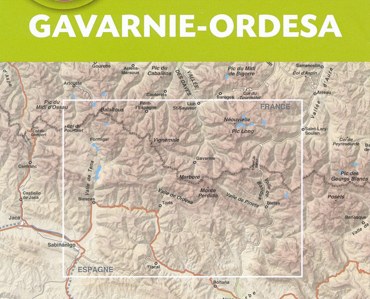
Hiking map No. 12 - Gavarnie & Ordesa (Pyrenees) | Rando Editions (French)

Price
Regular price 163 kr
Regular price Sale price 163 kr
/
  • Shipping within 24 working hours from our warehouse in France
  • Choisissez votre mode et vos frais de livraison à l’étape de paiement, avant de valider.
  • Retours gratuits (*)
  • Stocks en temps réel
  • In stock, ready to ship
  • Backordered, shipping soon
Tax included.

Souvent achetés ensemble :

Hiking map of the Gavarnie region and Ordesa National Park. (Pyrenees) published by Rando Editions.
Covers in particular the Vignemale, the Mount Lost and Pic de Balaïtous.
Topographic map with level curves and useful information to the mountain practice included. Scale 1/50 000 (1 cm = 500 m).


ISBN/EAN : 9782344026663
Publication date: 2018
Scale: 1/50,000 (1cm=500m)
Printed sides: front
Folded dimensions: 22.5 x 11 x 0.5cm
Unfolded dimensions: 131 x 90cm
Language(s): French English
Weight: 90 g