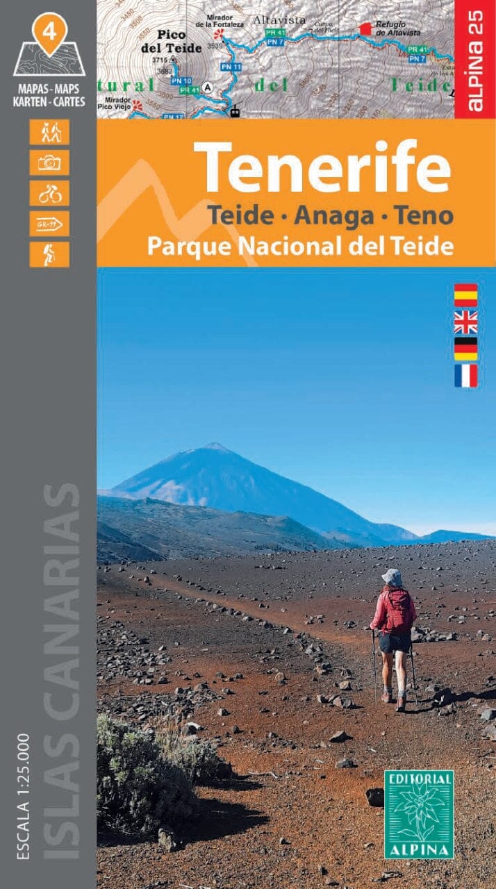
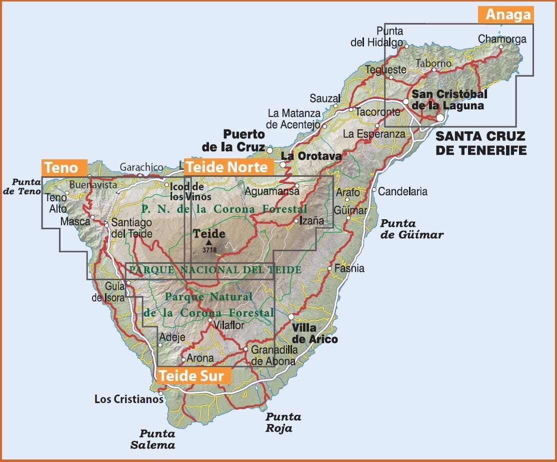
Set of 4 hiking maps - Tenerife | Alpina

Price
Regular price 290 kr
Regular price Sale price 290 kr
/
  • Shipping within 24 working hours from our warehouse in France
  • Choose your delivery method and cost at checkout, before confirming your order.
  • Free returns (*)
  • Real-time inventory
  • In stock, ready to ship
  • Backordered, shipping soon
Tax included.

Often purchased together:

4 Topographic maps of the island of Tenerife that covers the most important hiking areas of the island: Teide National Park (North and South), Anaga and TeNo.

its ladder at 1: 25,000 (1 cm = 250 m) gives an impressive detail of the vast network of marked trails (GR 131, PR, SL and Routes of National Parks) as well as the important elements of the heritage (sources of Water, ducts, filtration galleries and threshing areas) and sites of tourist interest
(points of view, campsites, information centers).

  • space curves spaced 10 m
  • Curves of main levels of 50 m
  • Shaded Relief
  • GPS compatible
  • indication of hiking trails


ISBN/EAN : 9788470111372
Publication date: 2024
Scale: 1/25,000 (1cm=250m)
Printed sides: front
Folded dimensions: 11.5 x 20.5cm
Language(s): French, English, German, Spanish
Weight: 296 g