Reference Map - USA, with States and Flags | National Geographic
- Shipping within 24 working hours from our warehouse in France
- Shipping method and fees are shown at checkout
- Free returns (*)
- Real-time stock levels
- In stock, ready to ship
Over 19,500 maps 🗺️ and travel guides, hiking maps, posters, globes, and décor items in stock!
Over 19,500 maps 🗺️ and travel guides, hiking maps, posters, globes, and décor items in stock!
Rated Excellent ⭐️ on Trustpilot — 9,000+ reviews from explorers and map lovers worldwide.
Rated Excellent ⭐️ on Trustpilot — 9,000+ reviews from explorers and map lovers worldwide.
Explore the world, one map at a time 🗺️
Explore the world, one map at a time 🗺️
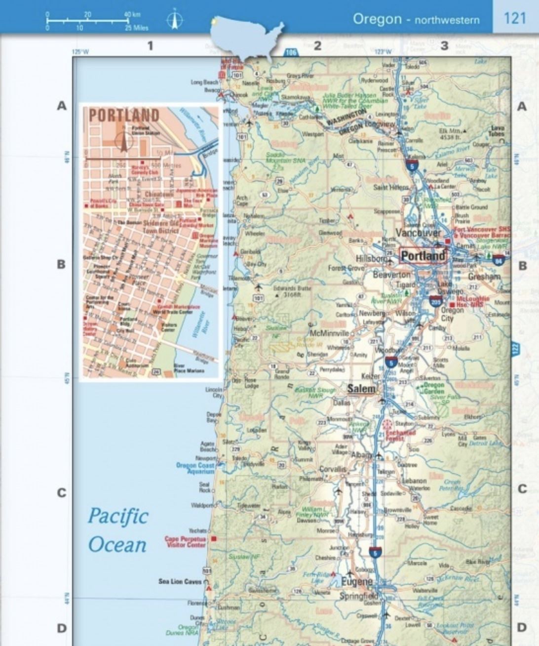
This map of the USA includes a political map showing states, cities, and other landmarks, and a physical map showing landforms such as mountain ranges and rivers.
- Clearly defined borders, major cities and physical features
- Hundreds of carefully placed place names to maintain readability in densely populated areas.
- Includes the United States and areas adjacent to Canada and Mexico.
- Detailed physical map of the United States with mountain ranges, plains, lakes and rivers.
- Flags and facts with detailed information on the cultural and physical characteristics of each state
This map is waterproof and tear resistant .
ISBN/EAN : 9781566958097
Publication date: 2024
Scale: 1/37,000,000 (1cm=370km)
Printed sides: front
Folded dimensions: 22.2 x 10.8cm
Language(s): English
Weight:
85 g
The exclusive newsletter for travel and discovery enthusiasts!


