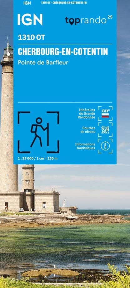
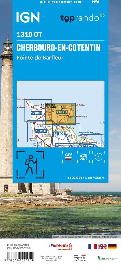
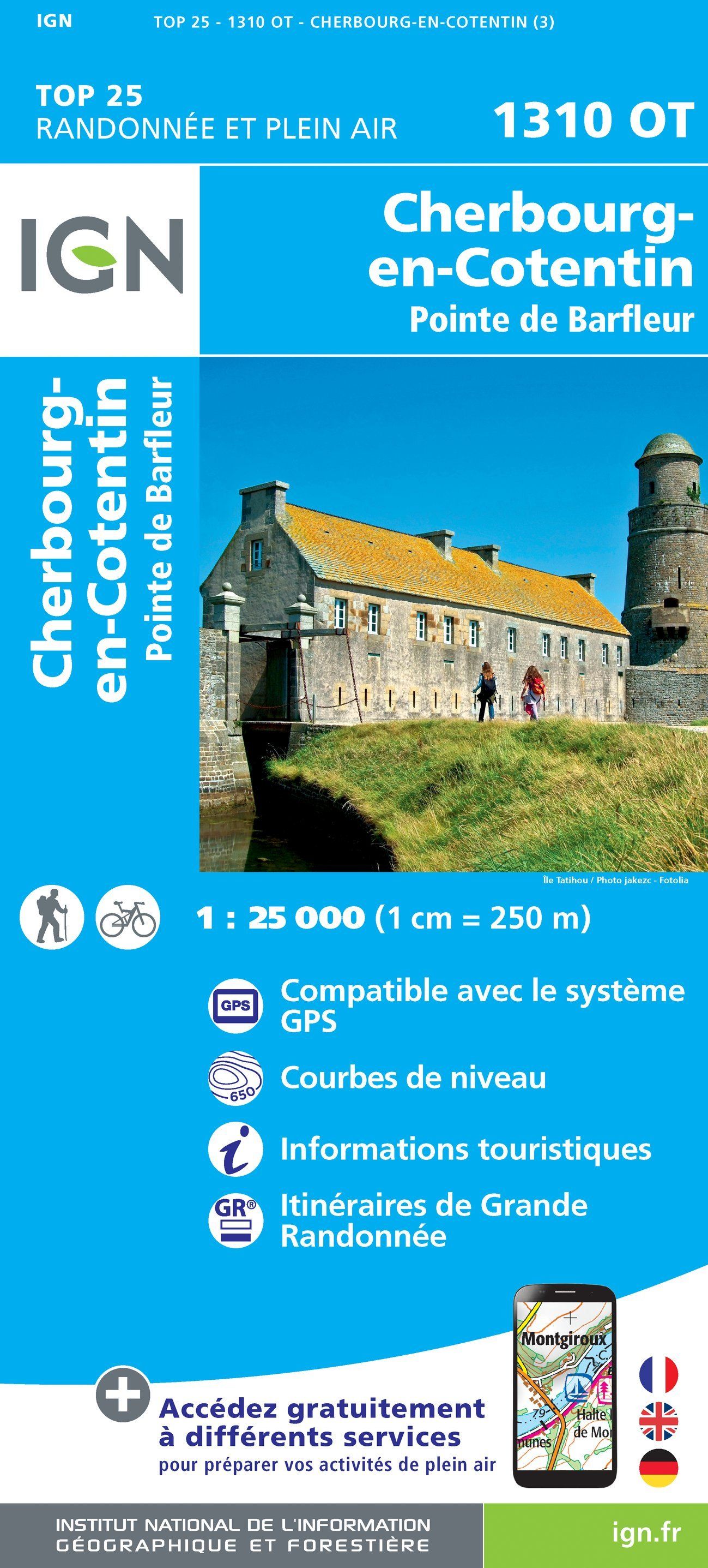
TOP 25 Map No. 1310 OT - Cherbourg-en-Cotentin, Pointe de Barfleur | IGN
- Shipping within 24 working hours from our warehouse in France
- Shipping method and fees are shown at checkout
- Free returns (*)
- Real-time stock levels
- In stock, ready to ship
Over 19,500 maps 🗺️ and travel guides, hiking maps, posters, globes, and décor items in stock!
Rated Excellent ⭐️ on Trustpilot — 9,000+ reviews from explorers and map lovers worldwide.
Explore the world, one map at a time 🗺️
TOP 25 topographic map no. 1310OT of Cherbourg-en-Cotentin and Pointe de Barfleur published by IGN.
This hiking map offers contour lines spaced 10 meters apart and a detailed legend (vegetation, rocks, communication routes down to the smallest path, buildings up to the shed, woods, isolated trees, rivers, springs, etc.).
Marked trails and tourist information are indicated. Scale 1:25,000 (1 cm = 250 m).
Municipalities covered : Cherbourg-en-Cotentin, Saint-Vaast-la-Hougue, Barfleur, Réville, Quettehou, Le Vast, Gatteville-le-Phare, Aumeville-Lestre, Sottevast, Tamerville, Saint-Joseph, Fermanville, Crasville, Videcosville, Sainte-Geneviève, Brix, Saint-Germain-de-Tournebut, Anneville-en-Saire, Brillevast, Le Vicel, Négreville, Bretteville
Places to discover : Cotentin and Bessin Marshes, Cape Levi, Pointe de Saire, Pointe de Barfleur, Tatihou Island, World War II Museum, St-Michel Chapel, Fort de l'Ouest Lighthouse, Pelée Island Fort, Napoleon Statue, Fort des Flamands, Crasvillerie Manor, Gatteville Lighthouse, Animal Park, Fort du Roule
ISBN/EAN : 9782758557159
Publication date: 2025
Scale: 1/25,000 (1cm=250m)
Printed sides: front
Folded dimensions: 24 x 11cm
Unfolded dimensions: 96 x 143 cm
Language(s): French, English, German
Weight:
89 g
The exclusive newsletter for travel and discovery enthusiasts!