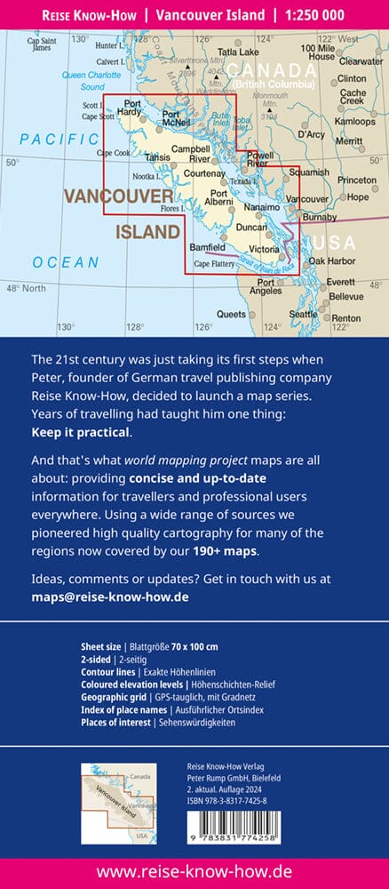
Folded maps have been the trusted standard for years, offering unbeatable accuracy and reliability at a great price. Detailed indexes allow for quick and easy destination location. This is a must-have for anyone traveling to Vancouver Island.
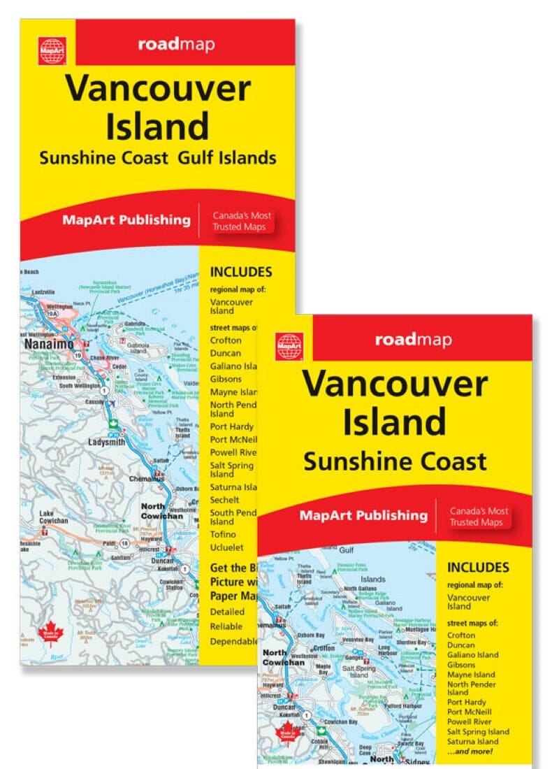
The folded map of Vancouver Island's Sunshine Coast includes detailed mapping of the towns of Crofton, Duncan, Port Hardy, Powell River, Sechelt, Tofino, and Ucluelet at 1:25,000, Gibsons and Port McNeill at 1:30,000, a 1:50,000 municipal map of the Gulf Islands (Galiano Island, Mayne Island, North Pender Island, Salt Spring Island, Saturna Island, South Pender Island), and a 1:550,000 regional map of Vancouver Island. This folded map also includes detailed indexing of each town plan, a town plan legend, a regional map legend, a regional map community index, and a ferry list.
City plan features include divided highways, major roads, secondary roads, major arterials, secondary streets, lanes/private streets, and the Trans-Canada Highway.
