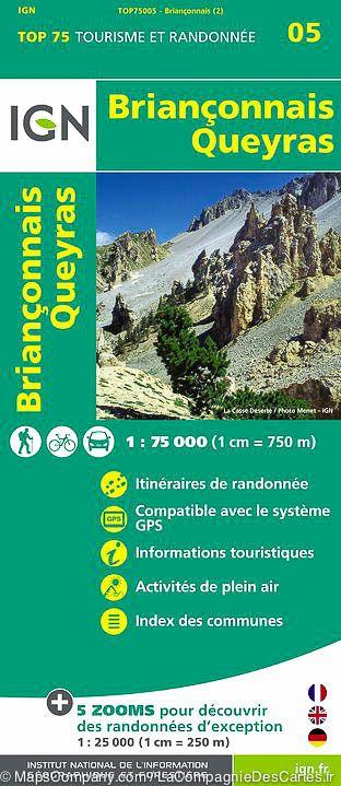
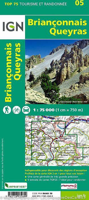
TOP 75 Map No. 5 - Briançonnais & Queyras (Alps) | IGN

Price
Regular price 111 kr
Regular price Sale price 111 kr
/
  • Shipping within 24 working hours from our warehouse in France
  • Shipping method and fees are shown at checkout
  • Free returns (*)
  • Real-time stock levels
  • Low stock - 2 items left
  • Backordered, shipping soon
Tax included.

Frequently bought together:

Top 75 Topographic map of Briançonnais and Queyras published by IGN. This detailed map covers the area around Briançon, including the Queyras Park. Level curves, detailed legend and indication of hiking trails. Index of cities. This map includes 5 zooms on a scale 1 / 25,000 (1 cm = 250 m) to discover exceptional hikes (Cerv of Ayes, Lake Ascension, Roche Gauthier, Pointe de la Selle, Col de l ' Eychauda).


ISBN/EAN : 9782758532699
Publication date: 2015
Scale: 1/75,000 (1cm=750m) & 1/25,000 (1cm=250m)
Printed sides: front
Folded dimensions: 24.6 x 11.2 x 0.7cm
Unfolded dimensions: 110x100cm
Language(s): French, English, German
Weight: 87 g