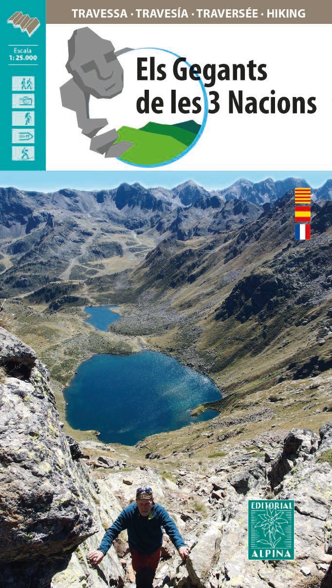
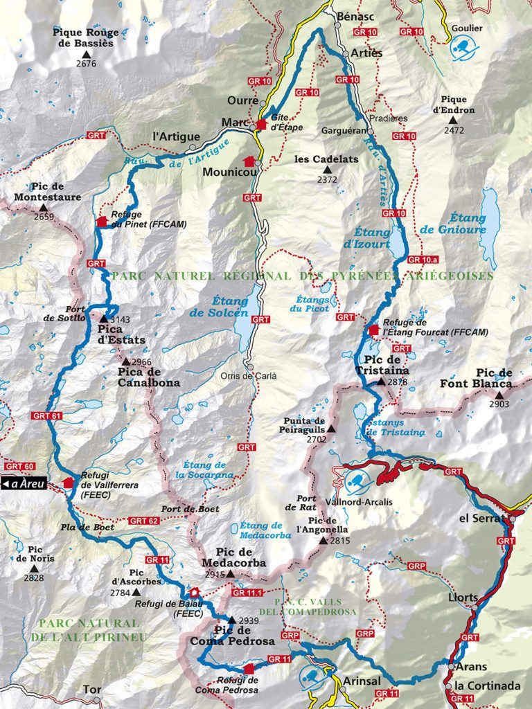
Hiking map - The Giants of the 3 Nations | Alpina
- Shipping within 24 working hours from our warehouse in France
- Shipping method and fees are shown at checkout
- Free returns (*)
- Real-time stock levels
- Low stock - 1 item left
Over 19,500 maps 🗺️ and travel guides, hiking maps, posters, globes, and décor items in stock!
Rated Excellent ⭐️ on Trustpilot — 9,000+ reviews from explorers and map lovers worldwide.
Explore the world, one map at a time 🗺️
Detailed topographic map of the crossing of the Pyrenean Park of the Three Nations, straddling Andorra (Coma Pedrosa Valleys Natural Park and Sorteny Valley Natural Park), the Alt Pirineu Natural Park in Catalonia (Spain), and the Ariège Pyrenees Regional Natural Park in Ariège.
Map area: THE GIANTS OF THE 3 NATIONS crosses the Pyrenean Park of the Three Nations in 4 to 6 days, taking us to the highest peaks in this region - Pica d'Estats (3,143 m), the highest peak in Catalonia and Ariège, and the summit of Coma Pedrosa (2,942 m), the highest peak in Andorra.
Map features: 1:25,000 scale topographic map with the mountain crossing of the Giants of the 3 Nations and the stopover shelters.
The map is accompanied by a file including:
ISBN/EAN : 9788480908832
Publication date: 2021
Scale: 1/25,000 (1cm=250m)
Printed sides: front
Folded dimensions: 21 x 11.5 x 1cm
Unfolded dimensions: 70x80cm
Language(s): French, Castilian, Catalan
Weight:
156 g
The exclusive newsletter for travel and discovery enthusiasts!