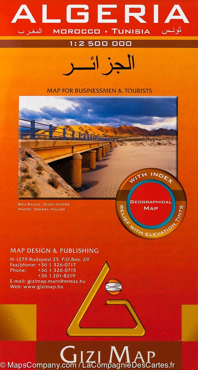
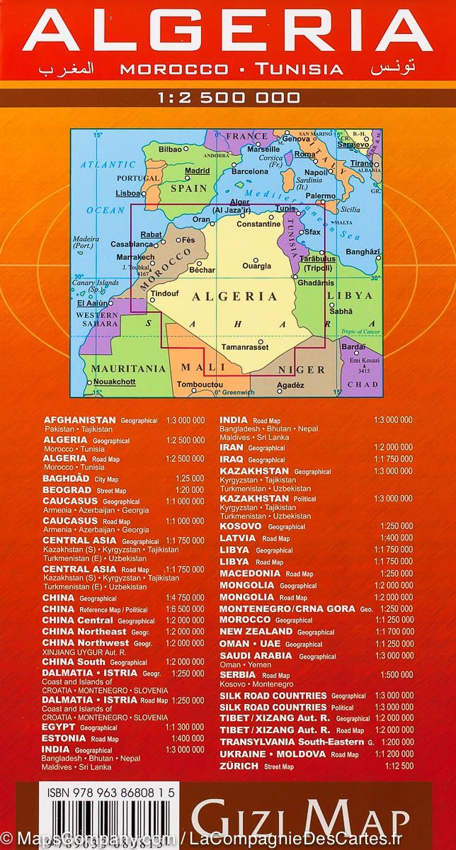
Geographical map - Algeria, Morocco, Tunisia | Gizi Map
- Shipping within 24 working hours from our warehouse in France
- Shipping method and fees are shown at checkout
- Free returns (*)
- Real-time stock levels
- In stock, ready to ship
Over 19,500 maps 🗺️ and travel guides, hiking maps, posters, globes, and décor items in stock!
Rated Excellent ⭐️ on Trustpilot — 9,000+ reviews from explorers and map lovers worldwide.
Explore the world, one map at a time 🗺️
Detailed map of Algeria, Morocco and Tunisia published by Gizi Map.
Bold altitude colouring with plenty of spot heights and names of mountain ranges, deserts, etc, provides a vivid picture of the country’s topography. Graphics show stone or sand deserts, salt flats, swaps and seasonal wadis, with symbols indicating oasis and water wells. Road network includes desert tracks and shows distances on main and on many secondary routes. Railway lines are includes and local airports are marked; the map also shows locations of oil or gas wells and the pipe lines, plus administrative boundaries of the provinces. Symbols mark various places of interest, including campsites, beaches, UNESCO World Heritage sites, rock paintings, archaeological remains, etc.
The index is next to the map. Map legend includes English and Arabic.
ISBN/EAN : 9789638680815
Publication date: 2010
Scale: 1/2,500,000 (1cm=25km)
Printed sides: front
Folded dimensions: 24 x 13 x 1cm
Unfolded dimensions: 97 x 87cm
Language(s): multilingual (including French)
Weight:
111 g
bon produit merci réception rapide
The exclusive newsletter for travel and discovery enthusiasts!