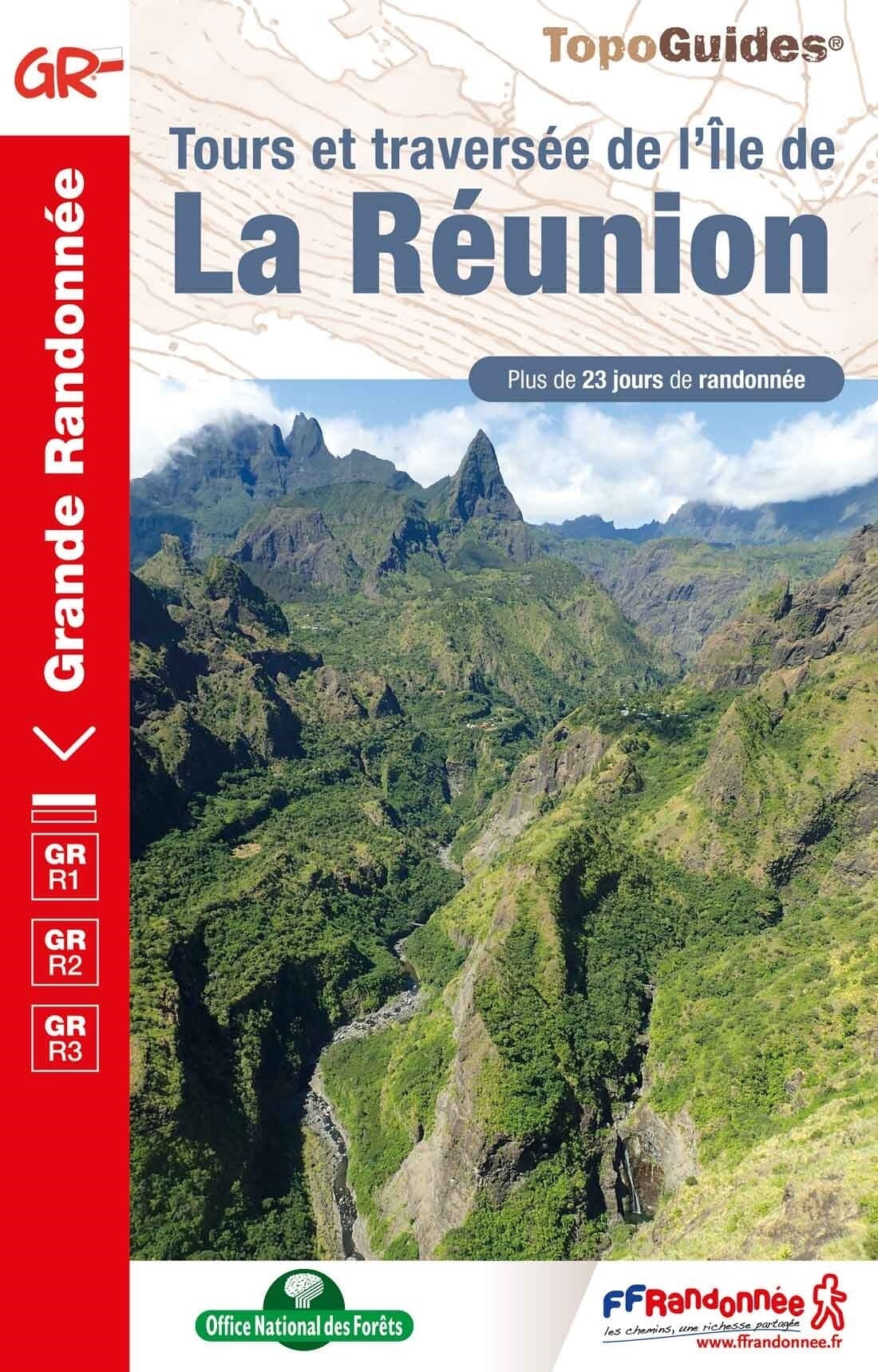
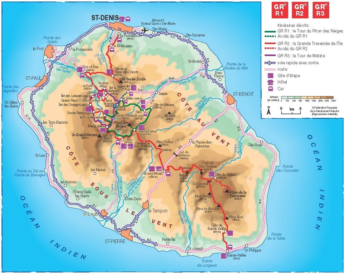
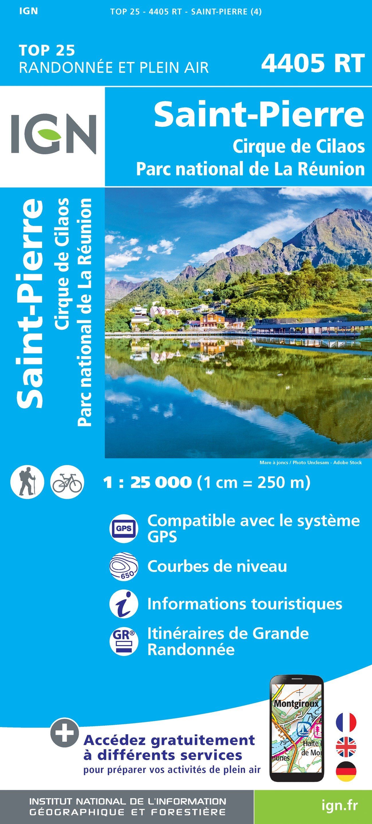
Hiking topoguide - Tours and crossing of Reunion Island - GR R1/R2/R3 | FFR
- Shipping within 24 working hours from our warehouse in France
- Shipping method and fees are shown at checkout
- Free returns (*)
- Real-time stock levels
- Low stock - 1 item left
Plus de 19 500 cartes 🗺️ et guides de voyage, cartes de randonnée, posters, globes, déco en stock !
La Compagnie des Cartes devient Cartovia ✨ Notée Excellent ⭐️ sur Trustpilot (9 000+ avis).
Livraison gratuite pour toute commande > 50 € (cartes pliées et guides, France métropolitaine)
Topoguide from the “Grandehike” Collection with detailed information sheets for discovering Reunion Island. More than 23 days of hiking on the 3 GR ® of Reunion to go around the Piton des Neiges, the great crossing of the island from north to south and around the Mafate cirque.
Pitons, volcanoes and cirques in the Hauts, beaches and cliffs in the Bas, the royal "Isle Bourbon" of explorers is draped in all its beauties in the heart of the Indian Ocean.
This Coffee table tropical Creole, named Reunion Island in 1793, displays its plant dress embroidered with colorful tamarinds, pinpins, camphor trees, casuarinas and orchids.
This topoguide presents the 3 GR ® crossing the island by land: the GR ® R1 to go around the Piton des Neiges, the highest peak on the island (3,071 meters); the GR ® R2 allowing you to make the long crossing of the island, from North to South from Saint-Denis to Basse-Vallée; the GR ® R3 to go around the Mafate cirque.
ISBN/EAN : 9782751412844
Publication date: 2023
Pagination: 160 pages
Folded dimensions: 21 x 13.5cm
Language(s): French
Weight:
200 g
Ouvrage complet !
L'infolettre exclusive des passionnés de voyage et de découverte !