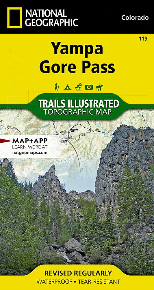
Yampa / Gore Pass (Colorado) hiking map published by National Geographic. This map is the most comprehensive recreation map for this magnificent region located on Colorado's Western Slope. This detailed map covers the Routt and Arapaho National Forests; Sarvis Creek Wilderness; and the towns of Toponas, Phippsburg, and Yampa; Pine Mesa and Eagle Rock Lakes; Red Dirt Reservoir; and Gore and Lynx Passes. Trails, trailheads, points of interest, and campgrounds are included. Waterproof and tear-resistant. Scale 1:40,680.
.
