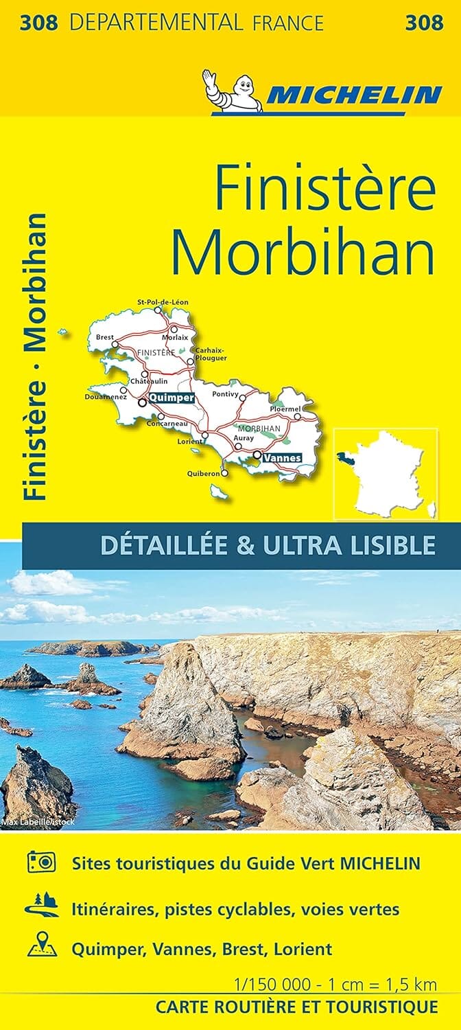
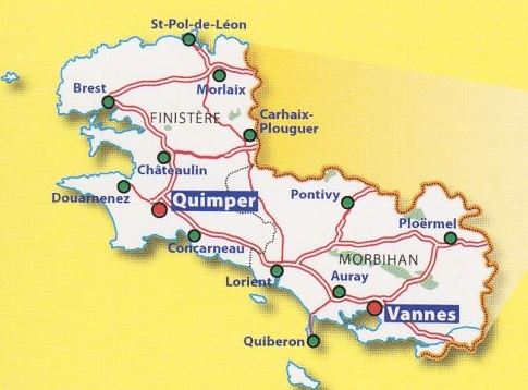
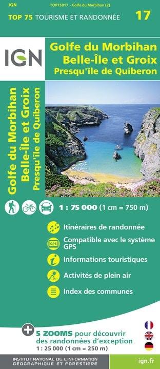
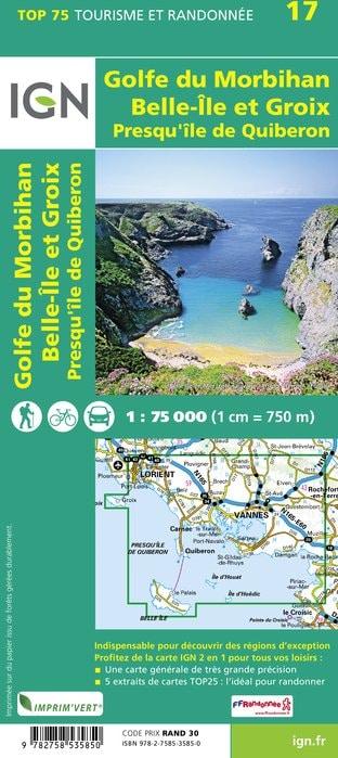
Hiking map No. 0919 - Lociné - Josselin | IGN - Blue Series
- Shipping within 24 working hours from our warehouse in France
- Shipping method and fees are shown at checkout
- Free returns (*)
- Real-time stock levels
- Low stock - 2 items left
Over 19,500 maps 🗺️ and travel guides, hiking maps, posters, globes, and décor items in stock!
Rated Excellent ⭐️ on Trustpilot — 9,000+ reviews from explorers and map lovers worldwide.
Explore the world, one map at a time 🗺️
The essential hiking map! These highly accurate topographic maps contain all the details existing on the ground: communication routes down to the smallest path, buildings down to the shed, woods, isolated trees, rivers, springs... Not forgetting the representation of the relief by contour lines.
Municipalities covered Locmine, Josselin, Forges de Lanouée, Bréhan, Le Cambout, Saint-Allouestre, Guégon, Cruguel, Saint-Servant, La Croix-Helléan, Kerfourn, Réguiny, Pleugriffet, Locminé, Bignan, Guéhenno, Plumelin, Buléon, Évellys, Crédin, Moréac, Lantillac, Radenac
Places to discover Lanouée Forest, Notre-Dame de Timadeuc, Manor, Kerguéhennec Castle, St-Sauveur, Kingoland
ISBN/EAN : 9782758558002
Publication date: 2025
Scale: 1/25,000 (1cm=250m)
Folded dimensions: 22 x 11cm
Unfolded dimensions: 96cm x 132cm
Language(s): French, English, German
Weight:
89 g
The exclusive newsletter for travel and discovery enthusiasts!