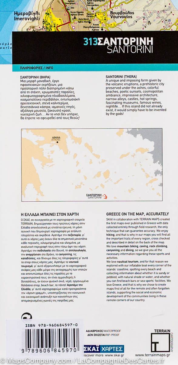
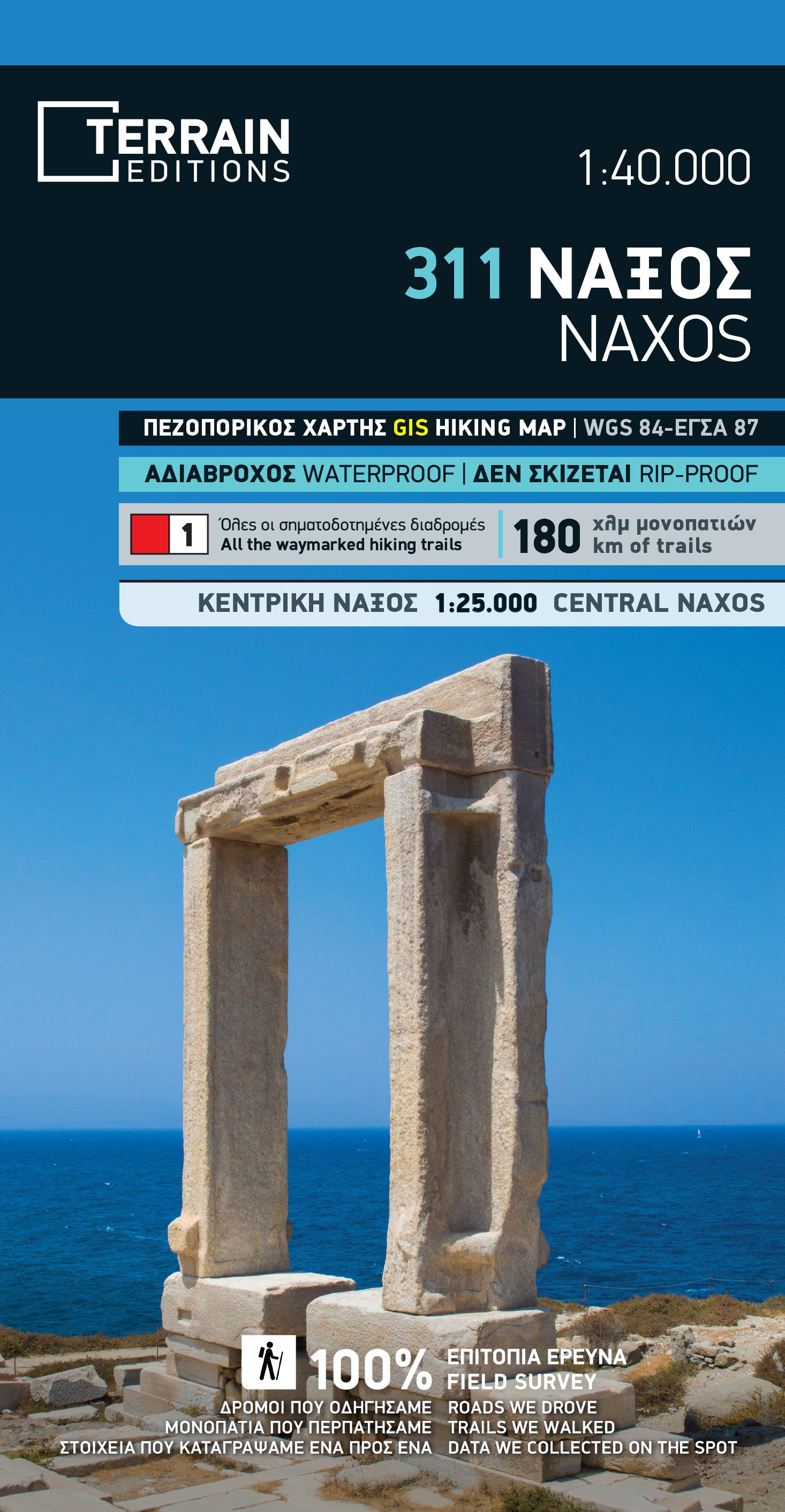
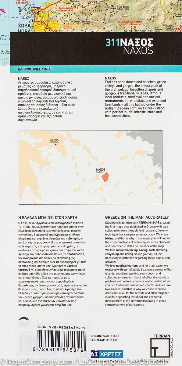
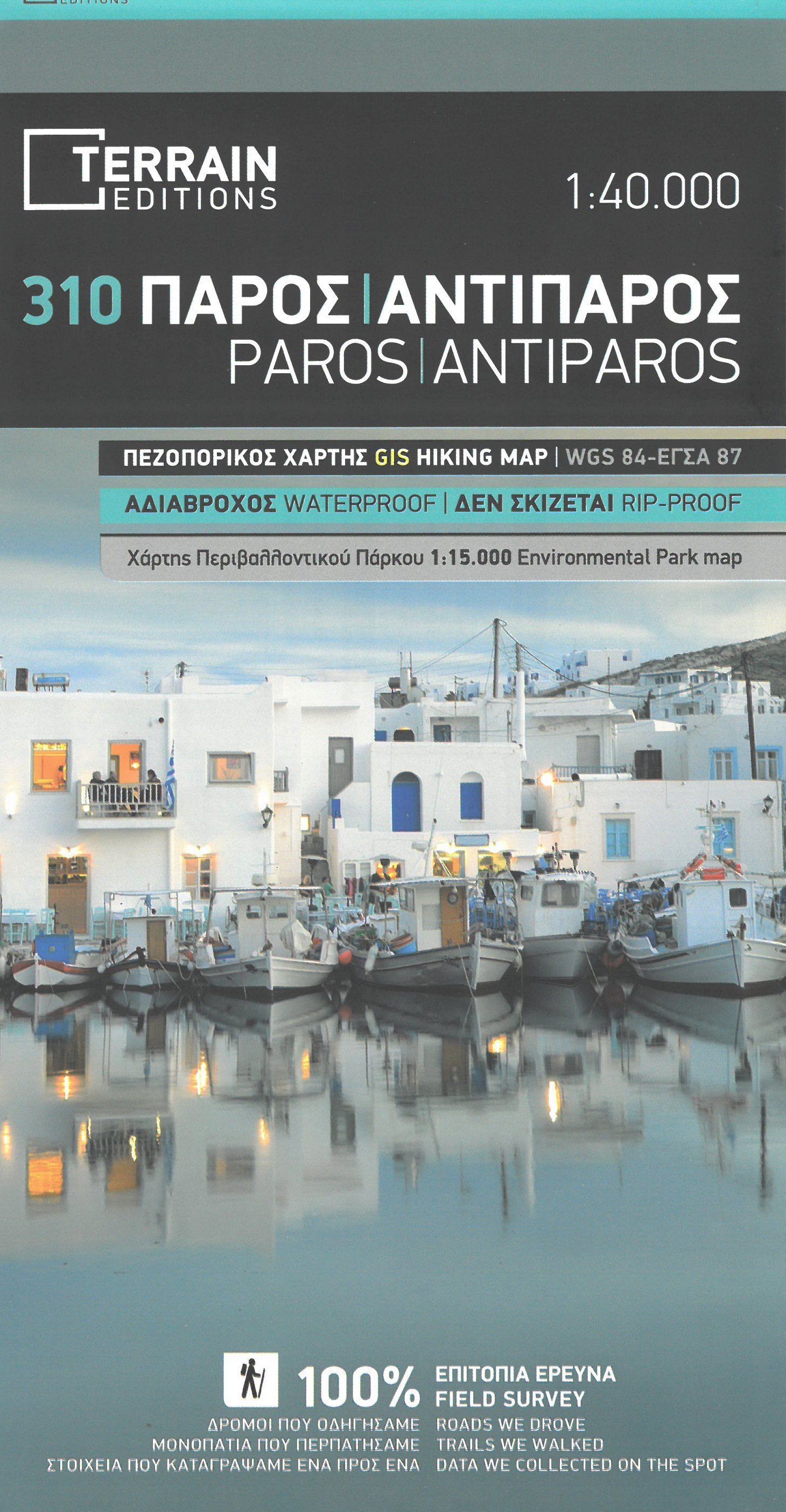
Hiking map - Kalimnos Island | Anavasi

Price
Regular price 4200 zł
Regular price Sale price 4200 zł
/
  • Shipping within 24 working hours from our warehouse in France
  • Shipping method and fees are shown at checkout
  • Free returns (*)
  • Real-time stock levels
  • In stock, ready to ship
  • Backordered, shipping soon
Tax included.

Frequently bought together:

GPS compatible map of the island of Kalimnos, printed on light laminated paper, waterproof and tear resistant. The map presents a plan of the most important cities. The suggestions for hiking are indicated.

The road network indicates undelaned minor roads and tracks in poor condition The road distances are indicated on the main roads and the locations of the service stations are indicated. A series of symbols highlight the various places of interest, including archaeological sites, beaches, etc.
All the names are in Greek and Latin alphabet.


ISBN/EAN : 9789608195943
Publication date: 2020
Scale: 1/25,000 (1cm=250m)
Folded dimensions: 12 x 23cm
Language(s): English, Greek
Weight: 60 g