Hiking guide - Italy's Stelvio National Park | Cicerone
- Shipping within 24 working hours from our warehouse in France
- Shipping method and fees are shown at checkout
- Free returns (*)
- Real-time stock levels
- In stock, ready to ship
Plus de 19 500 cartes 🗺️ et guides de voyage, cartes de randonnée, posters, globes, déco en stock !
La Compagnie des Cartes devient Cartovia ✨ Notée Excellent ⭐️ sur Trustpilot (9 000+ avis).
Livraison gratuite pour toute commande > 50 € (cartes pliées et guides, France métropolitaine)
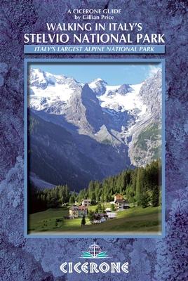
Pocket Topoguide (English) of the Cicerone Editor with Detailed Sheets for Hiking In the Stelvio National Park in Italy. Span> strong> p>
Description provided by the publisher:
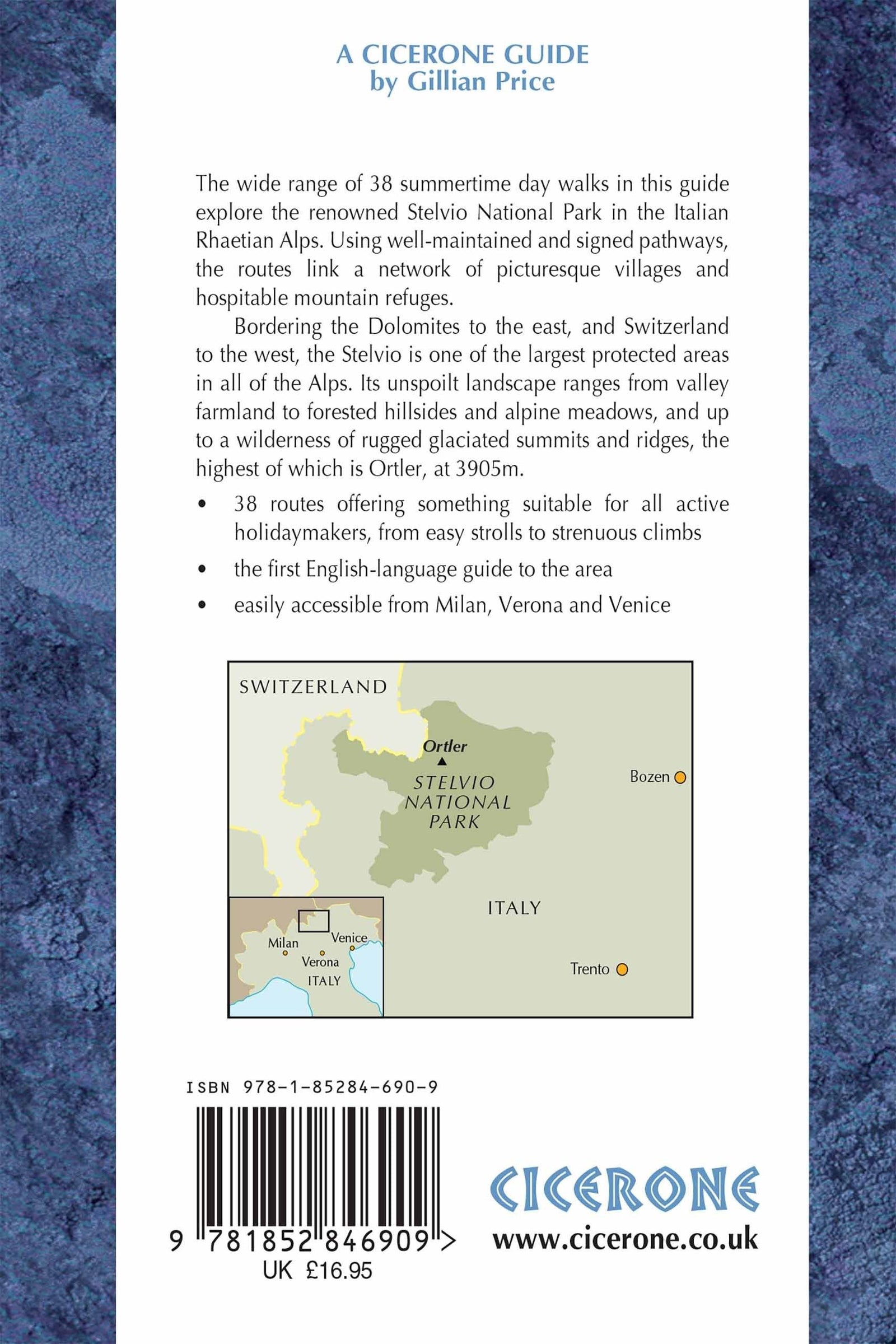
Guidebook to the Stelvio National Park in the Italian Rhaetian Alps. The 38 Day walks and Hikes Described Offer A Wide Variety of Roads on Well - Maintained and Signposted Paths, Linking a Network of Picturesque Villages and Hospitable Mountain Refuges. The Stelvio National Park Borders The Dolomites to the East and Switzerland to the West.
Seasons: Late June Through to October Centresbormio, S Caterina Valfurva, Sulden, Martell, St Gertraud, Peio, Rabbi, Malè.
Difficulty: Single Day Walking Roads Graded 1 to 3 to Allow for Beginners AS Well As Experienced Walkers Ready for Peaks. walks EASILY EXTENDED INTO MULTI - DAY EXPERIENCE WITH OVERNIGHT STAYS IN ALPINE REFUGES.
Must See: The Thrilling Stelvio Pass on Foot Or by Bus, The Forno Glacier, The Ortler and Cevedale Mountains, Ibex and Chamois in Val Zebul, Marteltal and Valle di Rabbi, Lammergeiers and Eagles, Treatmental Ultal. p>
ISBN/EAN : 9781852846909
Publication date: 2013
Folded dimensions: 12 x 17cm
Language(s): English
Weight:
221 g
Guide de bon format, type livre de poche. De nombreuses randonnées sont disponibles, classées par niveau de difficulté. Elles sont très bien réparties dans tout le massif et permettent de voir plusieurs types de paysages.
Aucun problème pour suivre les sentiers sur le terrain, car les randonnées sont très bien détaillées. Le seul petit point à améliorer serait l'ajout d'un fond topographique aux tracés.
L'infolettre exclusive des passionnés de voyage et de découverte !