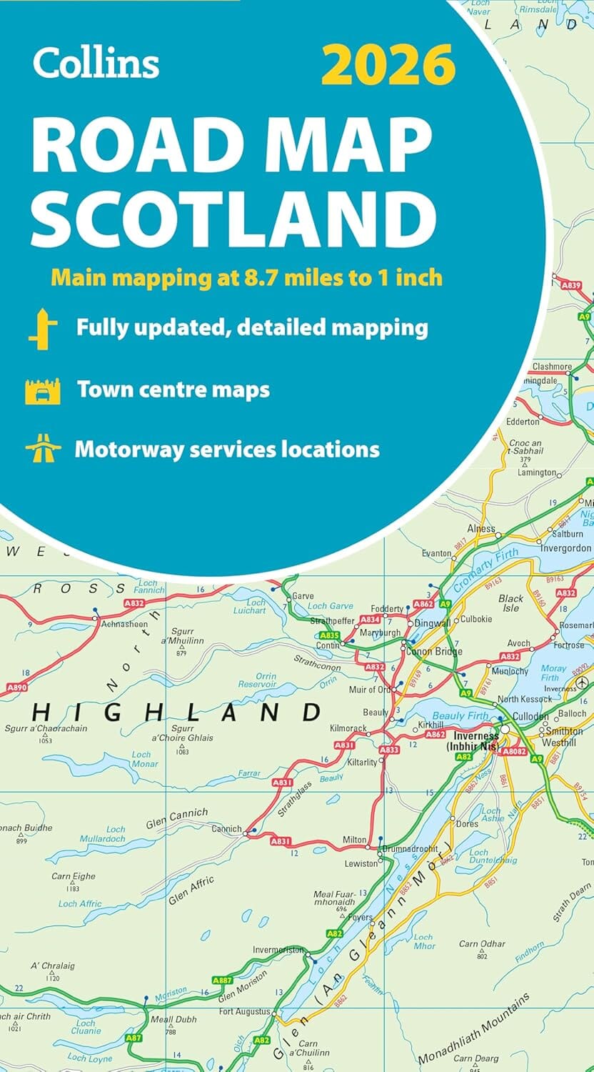
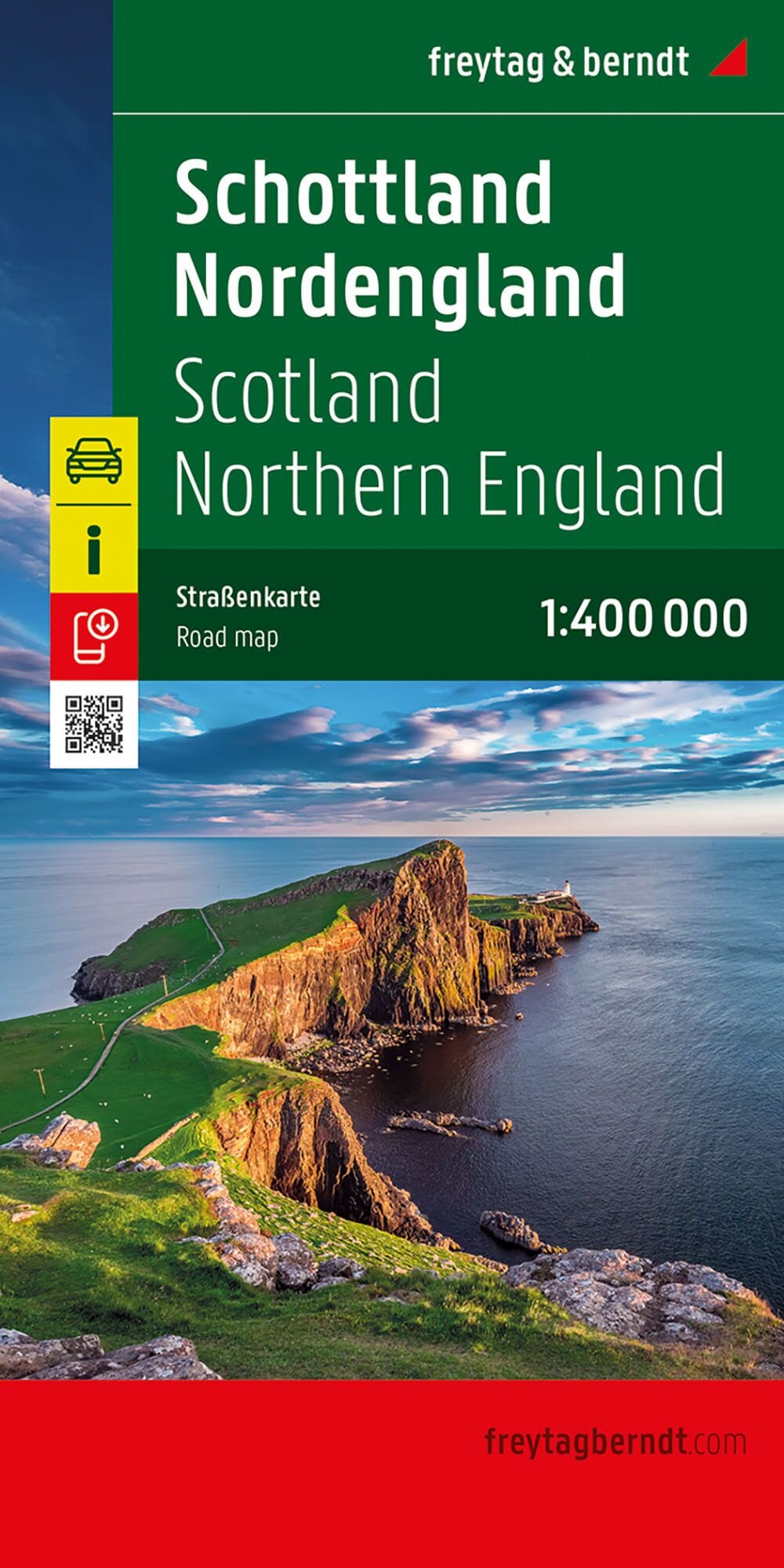
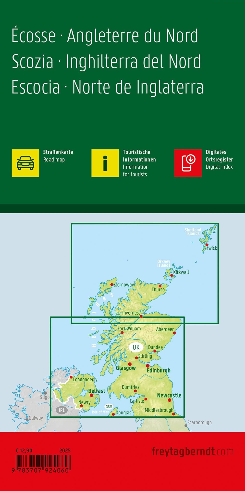
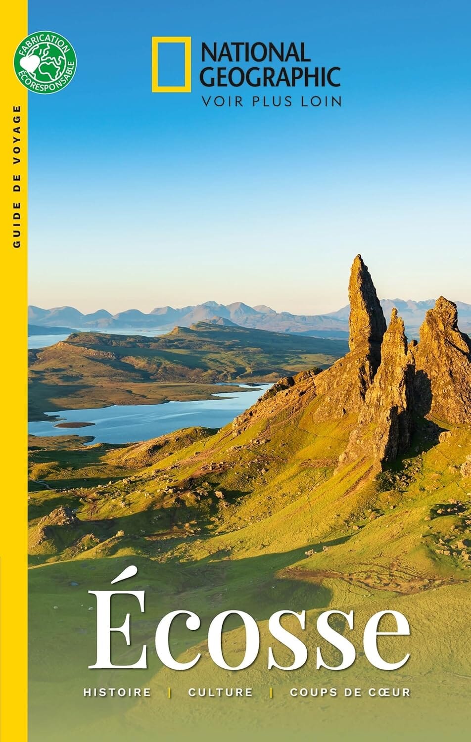
Road Map - Scotland 2026 | Collins

Price
Regular price 4400 zł
Regular price Sale price 4400 zł
/
  • Shipping within 24 working hours from our warehouse in France
  • Choisissez votre mode et vos frais de livraison à l’étape de paiement, avant de valider.
  • Retours gratuits (*)
  • Stocks en temps réel
  • In stock, ready to ship
  • Backordered, shipping soon
Tax included.

Souvent achetés ensemble :

Color map of Scotland, with a clear road network and colored administrative areas. The map covers all of Scotland and part of northern England on one side, and is ideal for reference or route planning.

The map shows the road network in detail to aid route planning. It's also ideal for business users, with its political coloring of local council areas.

Key Features:

  • Fully updated
  • Administrative areas shown in color
  • Clear and detailed road network and distances
  • Town and city names, rivers, railway lines, and canals are clearly marked
  • 7 city center street maps showing places of interest
  • Place name index
  • Mileage table
  • Car ferry routes


ISBN/EAN : 9780008719265
Publication date: 2025
Printed sides: both sides
Folded dimensions: 23.6 x 11.8cm
Language(s): English
Weight: 129 g