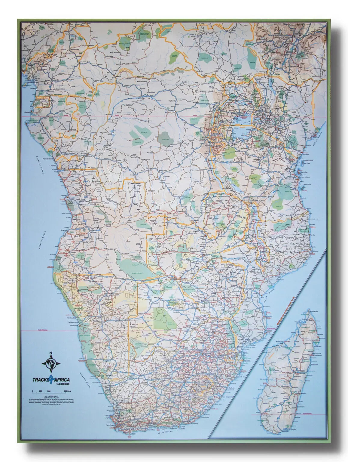
Road Map - Republic of Congo & Central African Republic
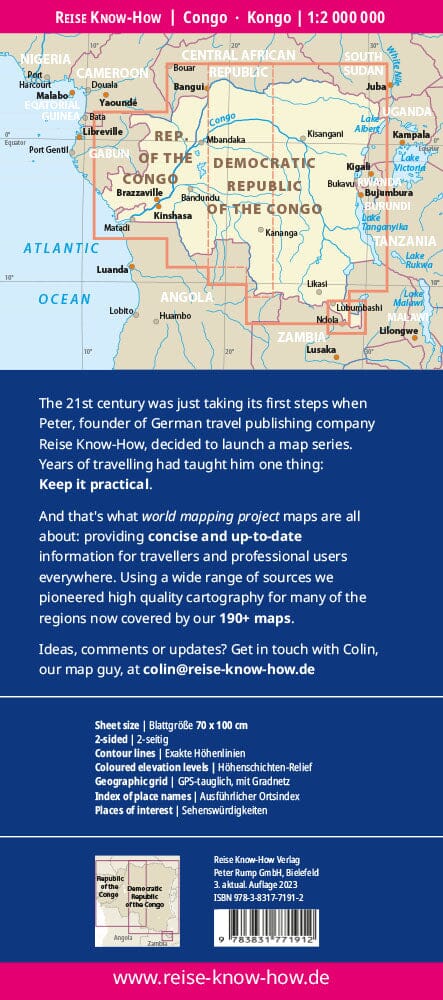
The Congo River forms the natural border between the former Belgian Congo (now the Democratic Republic of the Congo) and the former French colony called French Congo , which after independence became the People's Republic of the Congo , now simply called the Republic of the Congo .
These two countries, despite having similar names, present very different realities. This double-sided map covers two relatively peaceful nations on a single sheet.
Side 1: Republic of Congo
-
Capital: Brazzaville , founded in 1883, former capital of French Equatorial Africa.
-
The country stretches from the Atlantic Ocean (port of Pointe-Noire ) to the border of the Central African Republic .
-
A railway line connects Pointe-Noire to Brazzaville, but river transport on the Congo River remains essential in this region where infrastructure remains limited.
Side 2: Central African Republic (CAR)
-
Capital: Bangui .
-
Although connected by rail to the coast at Dakar (Senegal), the Congo River remains the main communication route for the interior of the country.
-
The road network has improved in recent years, but conditions remain suitable for adventure travel rather than mass tourism.
Legend / Map Information
-
Road classification
-
Rivers, streams and lakes
-
National Parks
-
Airports
-
Tourist sites and points of interest
-
Main and secondary roads
-
Fishing areas, zoos, etc.