Waterproof and tearful map of Bassa Valle Stura Di Demonte region, Val Grana.
Hiking information (shelters, bivouacs, unguarded shelters, climbing walls, fitted areas, places of interest, via ferrata, passages dangerous, etc.)
Legends and general information (all fully translated into English, French and German)
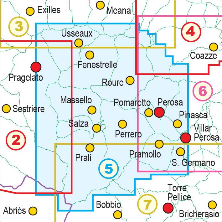
This map includes:
- punctual elements such as fountains, pylons and crosses, access bans, caves, etc.
- Hiking ski trails
- ATVs
- Primary and secondary road network
- Designation of trails and hiking routes
- Complete road network
- Type of land (woody areas, stones, glaciers, etc.)
- Lakes, rivers, streams
- borders of states, regions, provinces, municipalities and national parks
- Equidistance level curves 50 m, 10 m, 5 m
- Buildings, Industries, Churches, Cemeteries
- Military constructions, Fortifications
- complete toponymy
- Stations, highway outputs
This document also contains a metric grid indicated in the frame according to the UTM WGS84 projection.
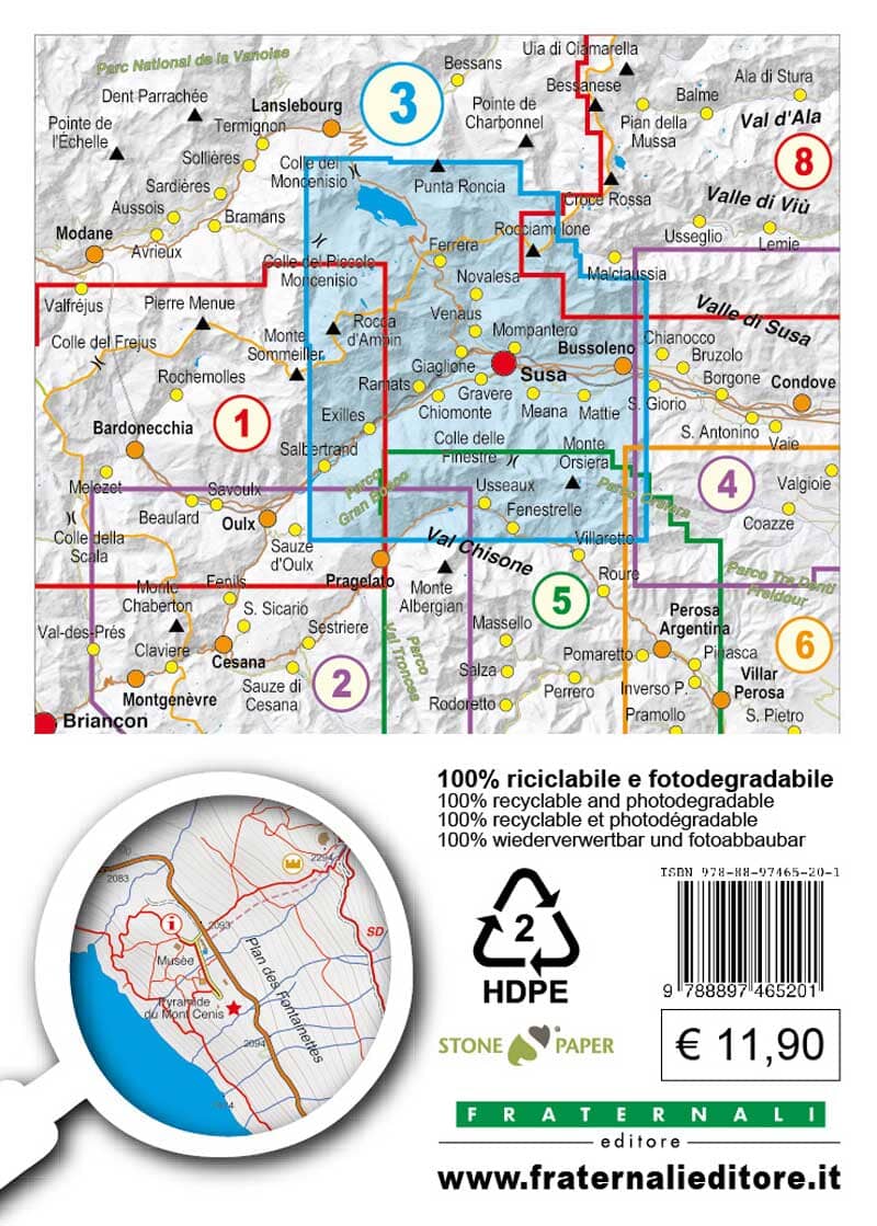
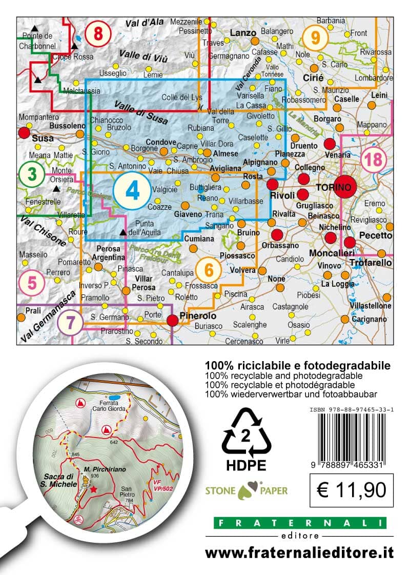
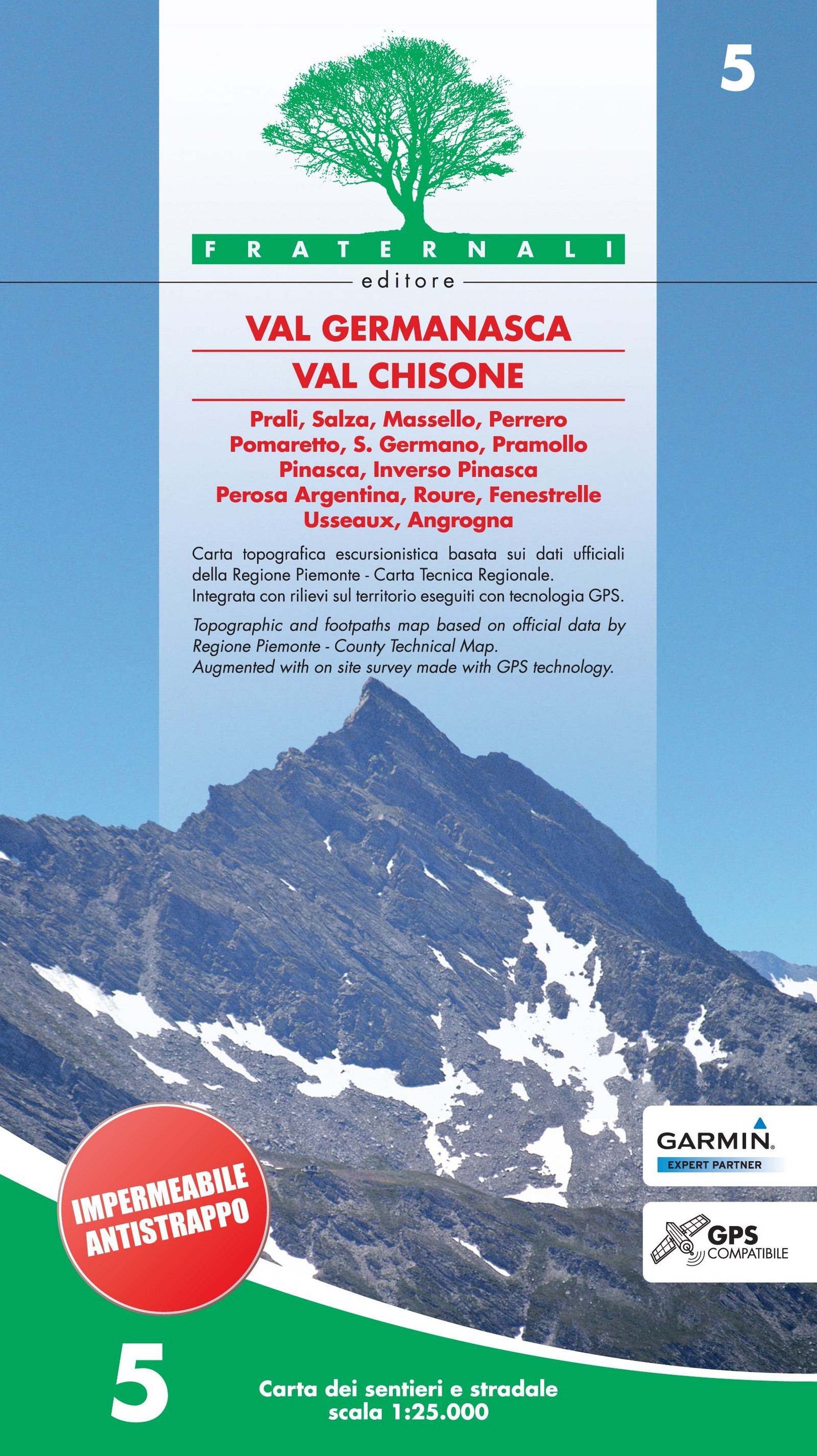
ISBN/EAN : 9788897465102
Publication date: 2016
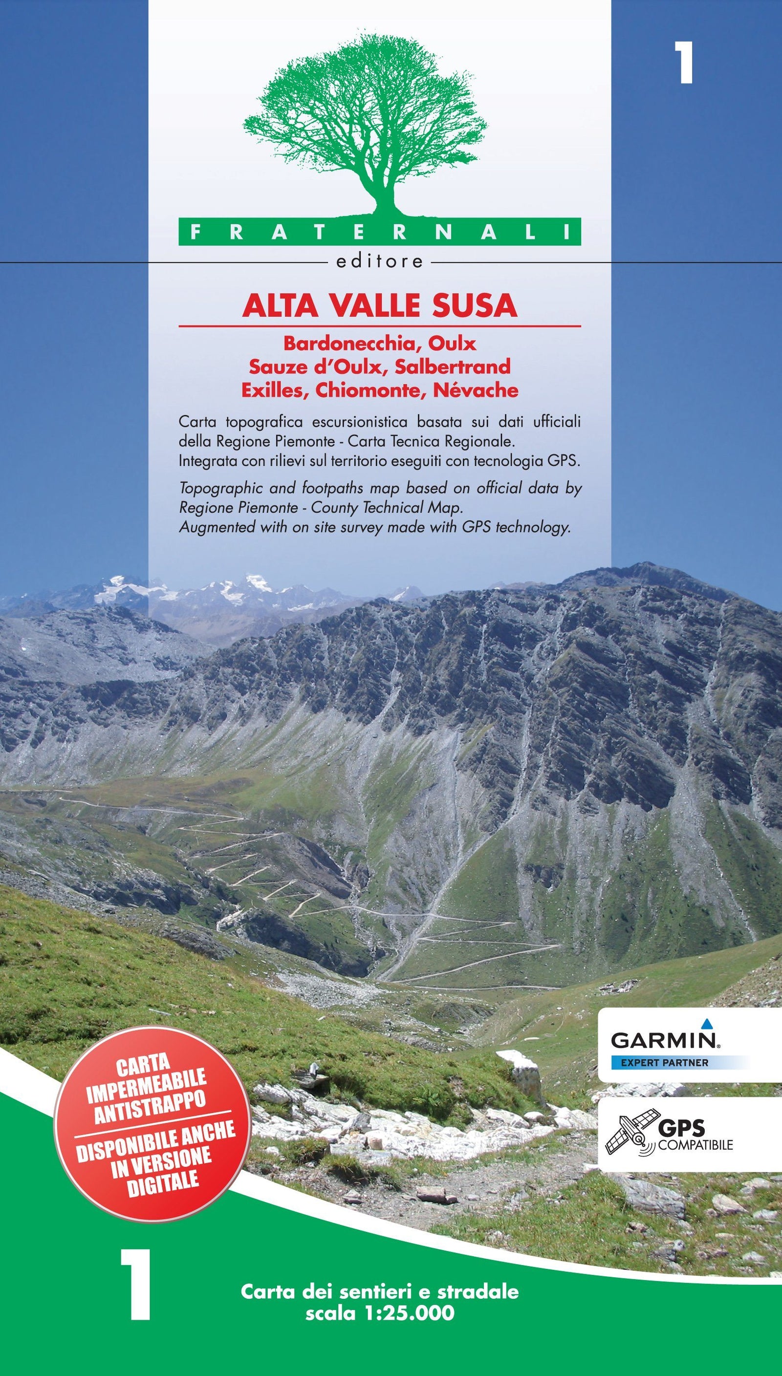
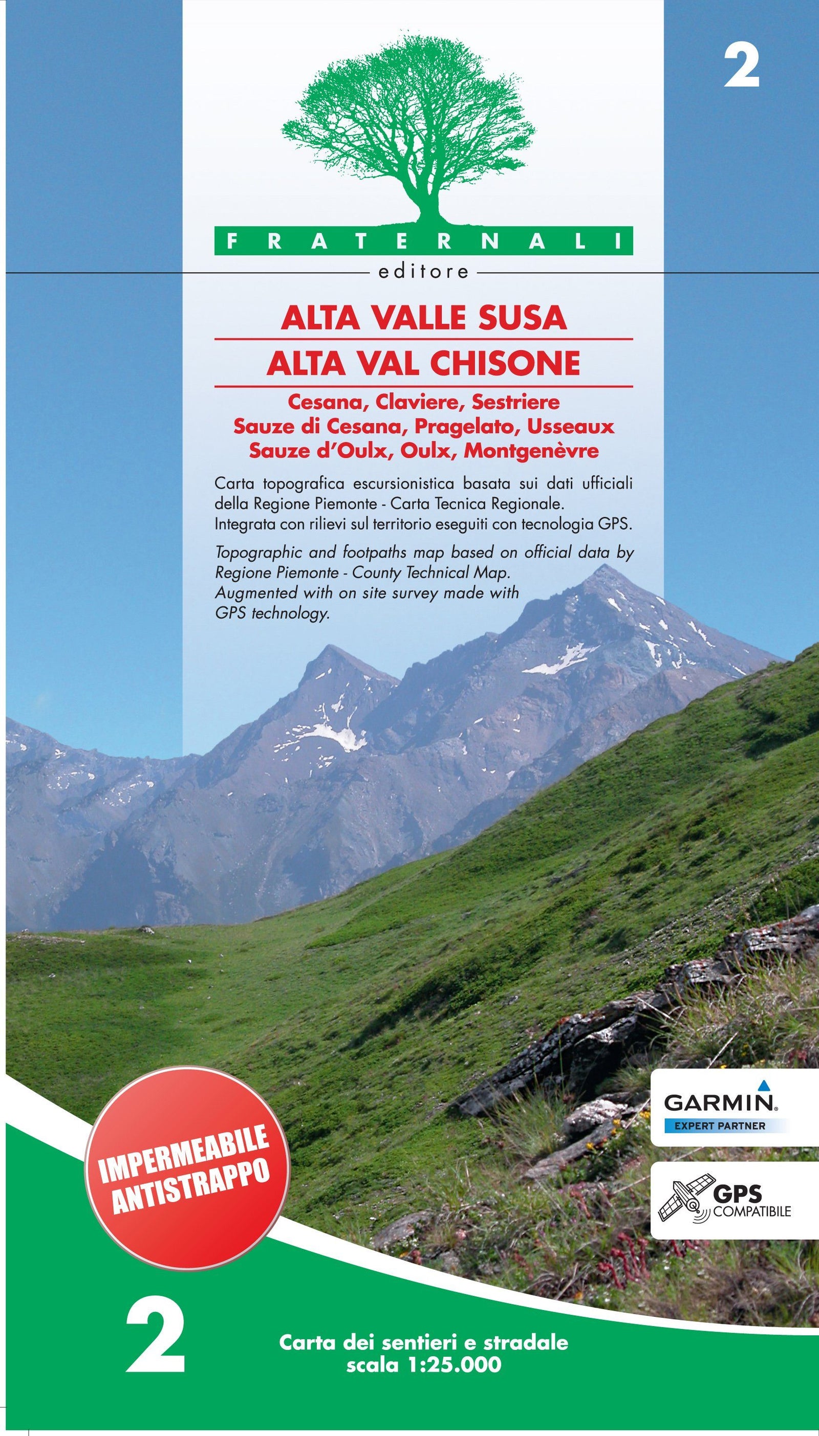
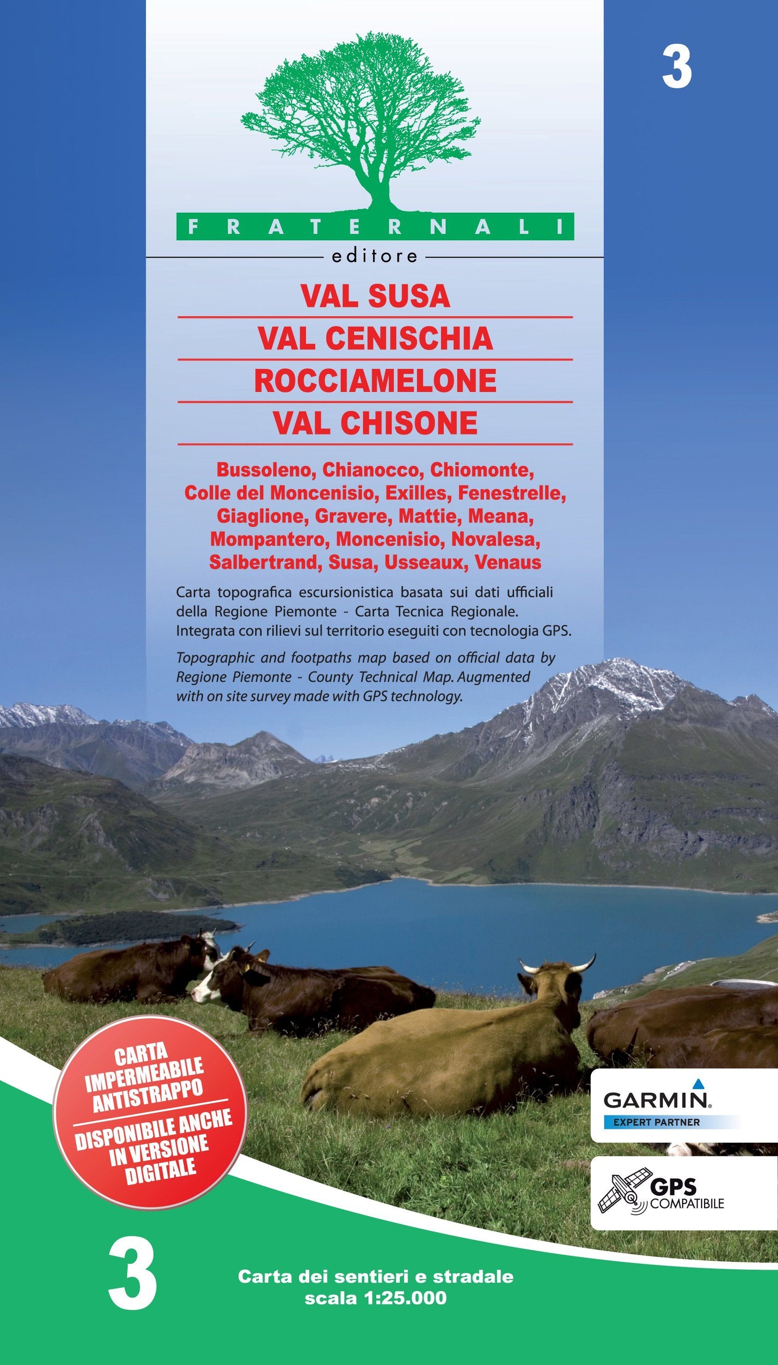
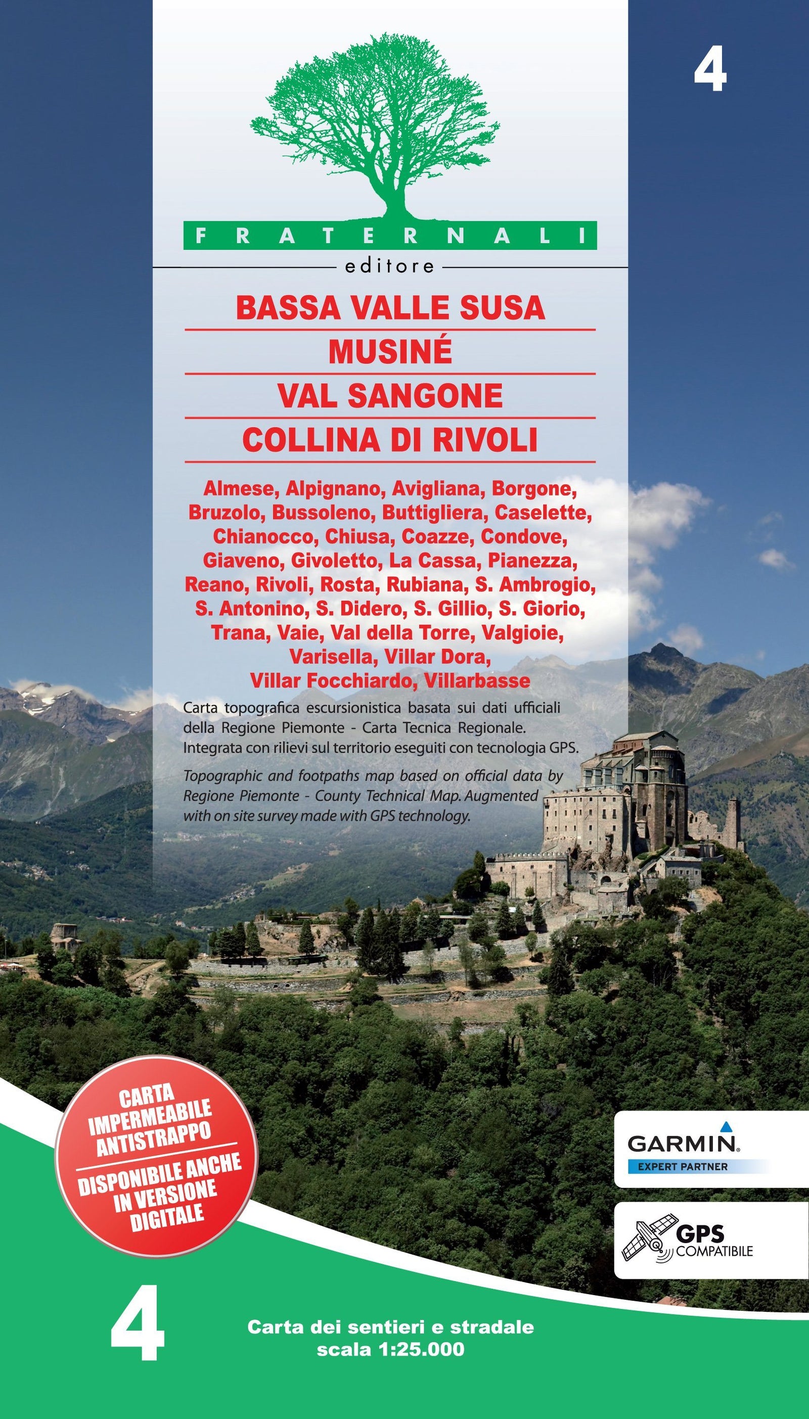
Scale: 1/25,000 (1cm=250m)
Printed sides: both sides
Folded dimensions: 14.4 x 28cm
Language(s): French, English, German, Italian
Weight:
80 g