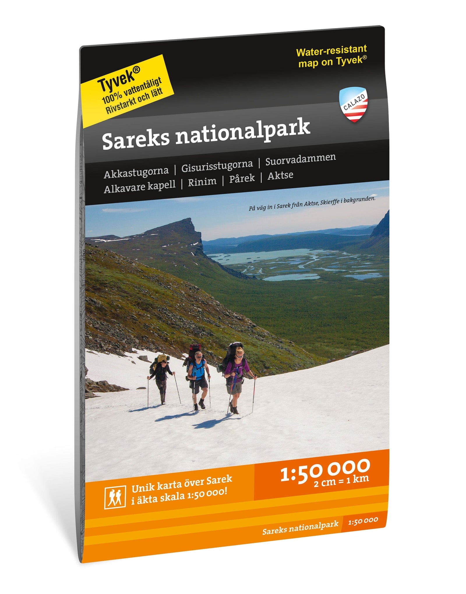
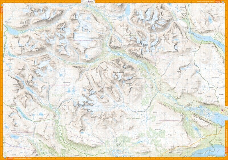
Sweden mountain map at a scale of 1:50,000. This map is one of what we call the next-generation mountain map. This means a wealth of detail not found in other maps of the same area. The terrain information is based on airborne laser scanning. In addition to completely new elevation curves, streams and slopes, among other things, appear significantly better than before. Trails are more accurately reproduced, as are sinkholes, buildings, stony ground, and hard-to-reach vegetation.
The section on one side of this map is centered around Ruohtesvágge, with Áhkká to the north of the valley and the highest peaks of Sarek around Sarektjåhkkå. The other side covers the entire Rapadalen range, up to Aktse via Kungsleden and the Bårdde massif.
The map, made of Tyvek material, is waterproof and tear-resistant.