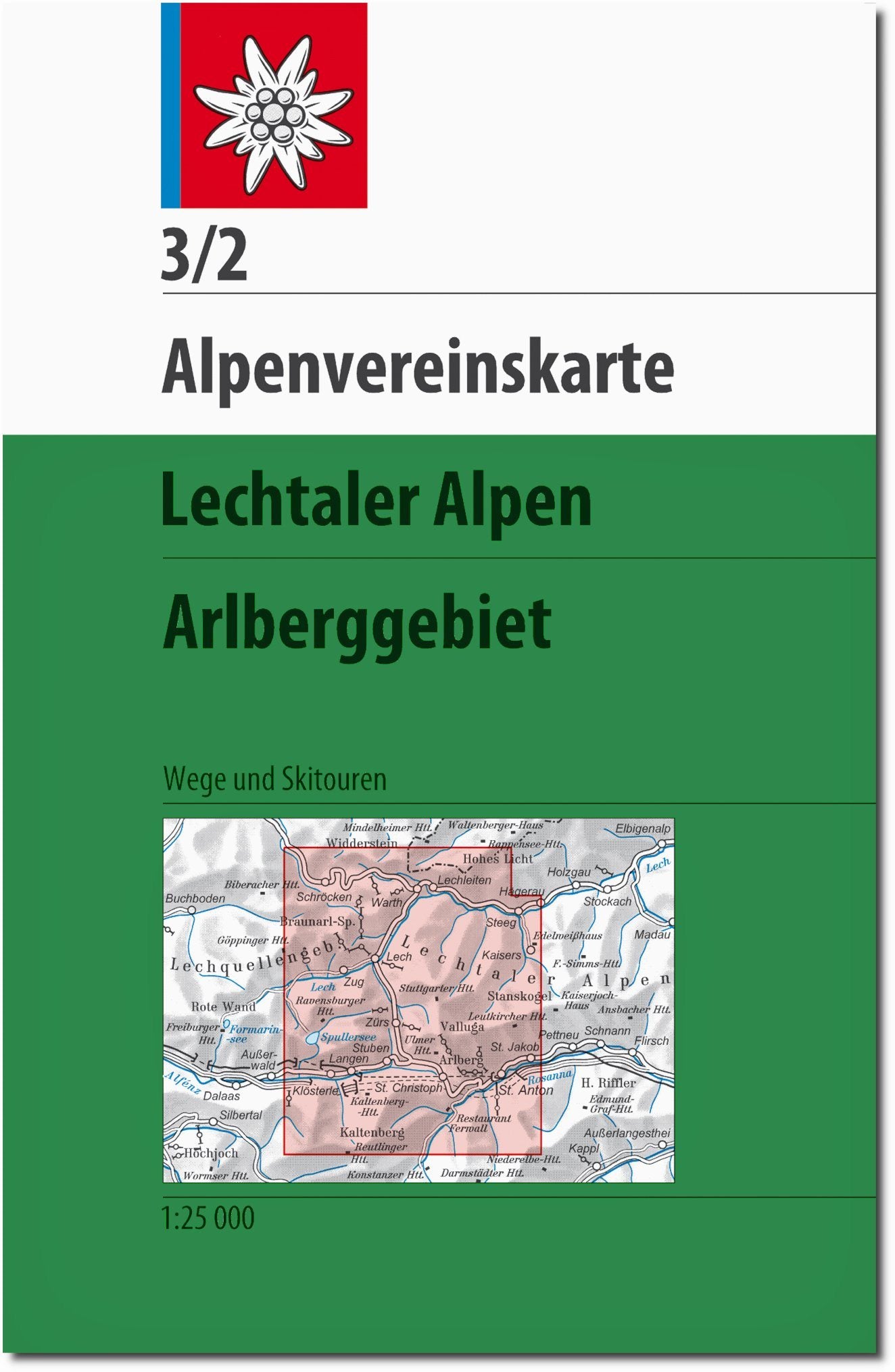
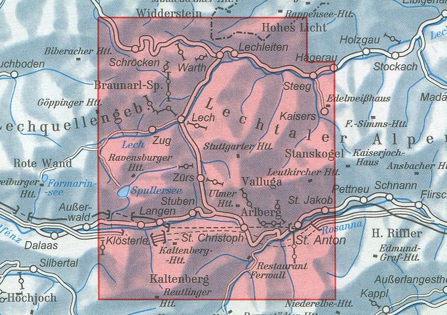
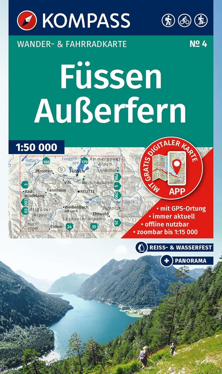
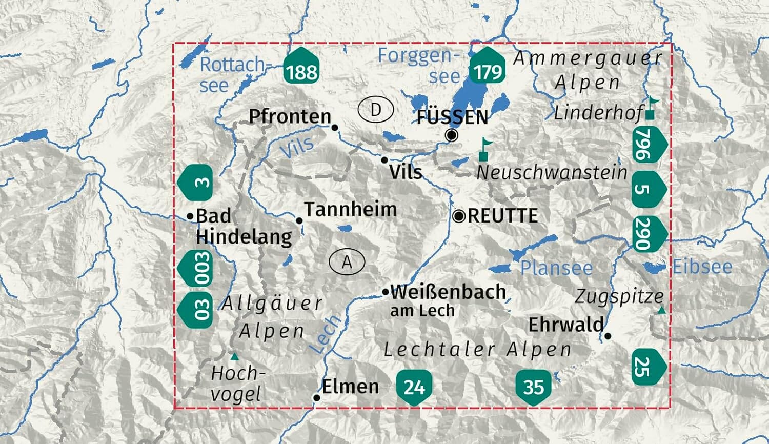
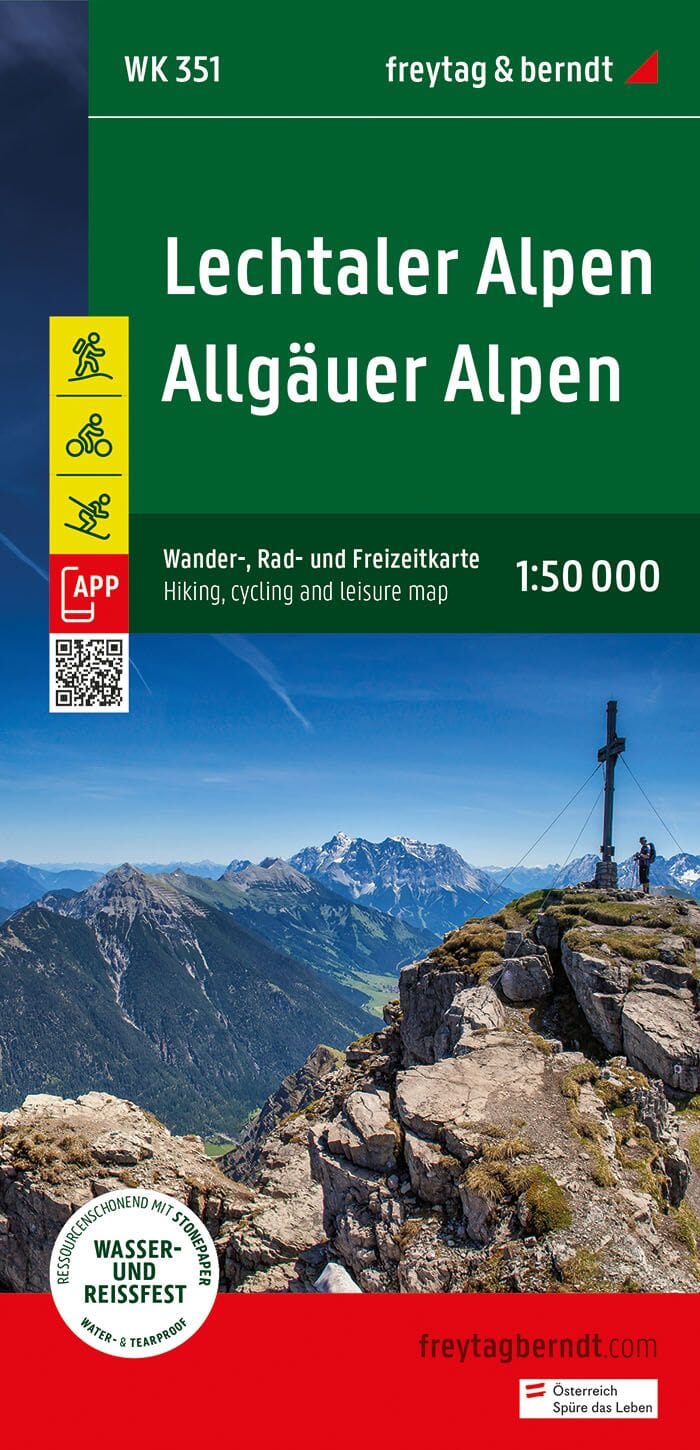
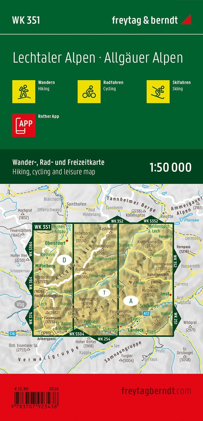
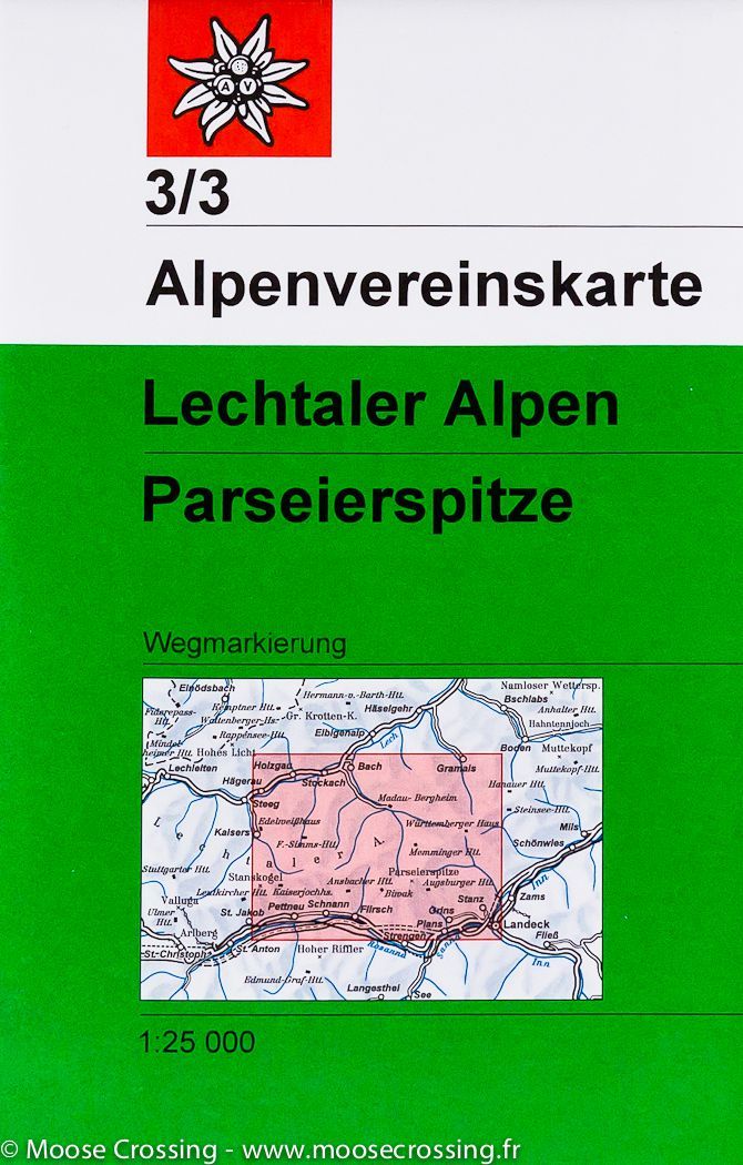
Hiking map No. 3/2 - Lechtal Alps - Arlberggebiet (Austrian Tyrol) | Alpenverein

Price
Regular price 5400 zł
Regular price Sale price 5400 zł
/
  • Shipping within 24 working hours from our warehouse in France
  • Choisissez votre mode et vos frais de livraison à l’étape de paiement, avant de valider.
  • Retours gratuits (*)
  • Stocks en temps réel
  • In stock, ready to ship
  • Backordered, shipping soon
Tax included.

Souvent achetés ensemble :

Topographic map of the Lechtal Alps, Arlberg Zone (Tyrol, Austria), published by Alpenverein. Special hike map. Contour line. The coloring of the map and graphics indicate the different types of vegetation and floor cover (rocks, scree ...).

Laminated protective pocket included.


ISBN/EAN : 9783937530918
Publication date: 2019
Scale: 1/25,000 (1cm=250m)
Printed sides: front
Folded dimensions: 21 x 13 x 0.6cm
Unfolded dimensions: 96 x 86cm
Language(s): German
Weight: 90 g