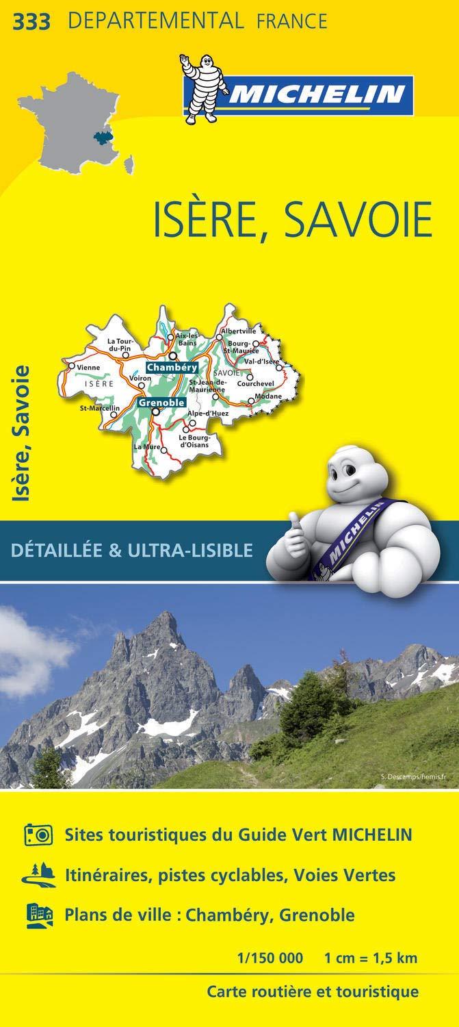
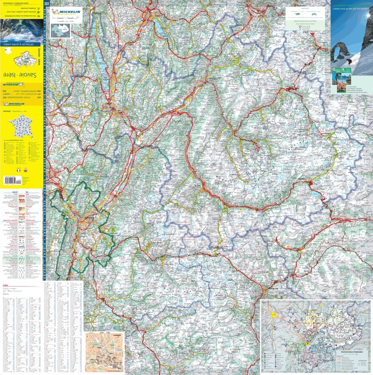
Hiking guide - L'Isere on foot | FFR (French)
- Shipping within 24 working hours from our warehouse in France
- Shipping method and fees are shown at checkout
- Free returns (*)
- Real-time stock levels
- In stock, ready to ship
Over 19,500 maps 🗺️ and travel guides, hiking maps, posters, globes, and décor items in stock!
Rated Excellent ⭐️ on Trustpilot — 9,000+ reviews from explorers and map lovers worldwide.
Explore the world, one map at a time 🗺️
Hiking guide of the "walk & amp, hiking" collection to discover the isère on foot. Strong> p>
Parks and natural sites in the Massifs de Belledonne, Vercors, Ecrins ... A land of contrasts to discover during walks and hiking.
of the valley of the Isère (135 meters above sea level) at the top of the bar of the Ecrins (4 102 meters above sea level), the department of the Isère lists all types of landscapes: Gorges with steep cliffs and swamp, high trays and valleys, landscapes of groves and crops but also alpine and deserts, alluvial valleys and circuses, not to mention the broad shores of the Rhone and the Isère lined with vineyards or fruit trees, the glaciers which are reflected in the lakes of altitude or the villages of stones hanging on the steep slopes. p>
ISBN/EAN : 9782751412561
Publication date: 2023
Pagination: 96 pages
Folded dimensions: 21x13cm
Language(s): French
Weight:
150 g
The exclusive newsletter for travel and discovery enthusiasts!