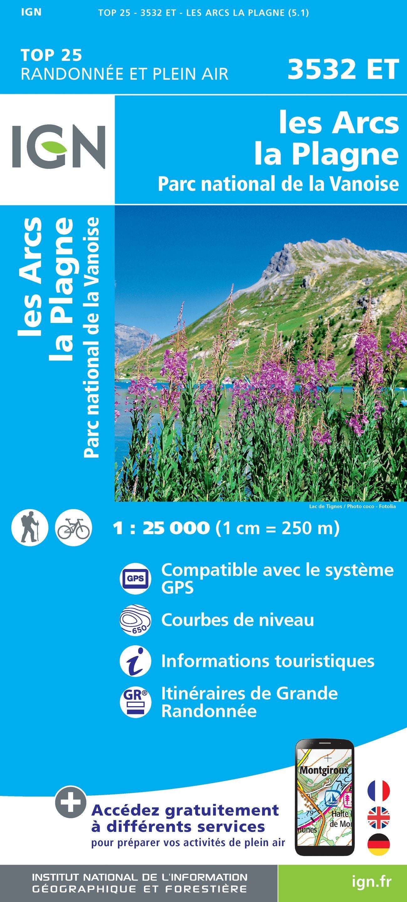
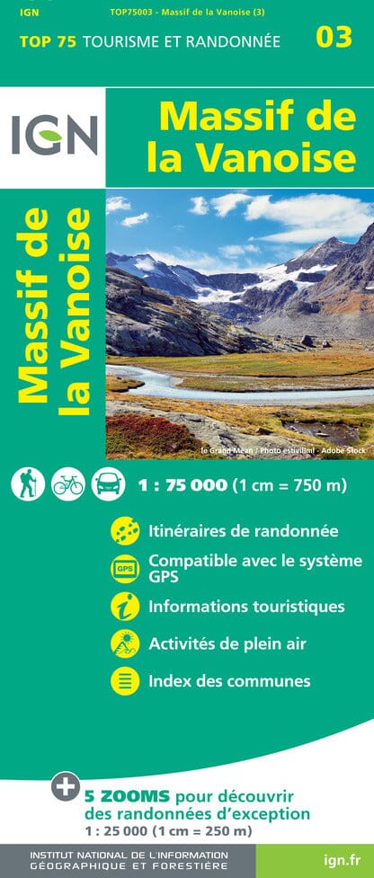
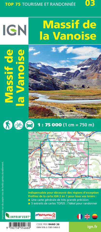
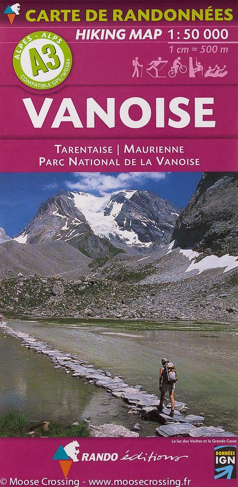
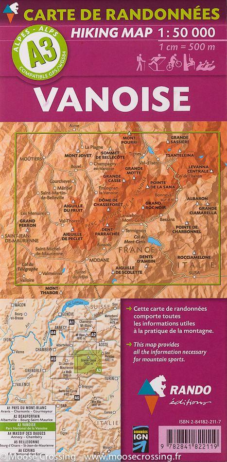
TOP 25 Map No. 3532 ET - Les Arcs & La Plagne (Vanoise National Park) | IGN
- Shipping within 24 working hours from our warehouse in France
- Shipping method and fees are shown at checkout
- Free returns (*)
- Real-time stock levels
- In stock, ready to ship
Over 19,500 maps 🗺️ and travel guides, hiking maps, posters, globes, and décor items in stock!
Rated Excellent ⭐️ on Trustpilot — 9,000+ reviews from explorers and map lovers worldwide.
Explore the world, one map at a time 🗺️
Top 25 map around the Arcs and La Plagne, including part of the Vanoise National Park. This map published by IGN stretches from Bourg - St-Maurice to Val Isère (from north to south), and love on the Italian border (from west east). P>
Hiking map with space curves spaced 10 meters and detailed legend (vegetation, rocks, streams etc ...). p>
Indication of hiking trails. Scale 1/25 000 (1 cm = 250 m). P>
ISBN/EAN : 9782758547167
Publication date: 2018
Scale: 1/25,000 (1cm=250m)
Printed sides: front
Folded dimensions: 23.6 x 11.2 x 0.5cm
Unfolded dimensions: 96 x 132cm
Language(s): French, English, German
Weight:
89 g
Top pour la grande sassiere
Carte qui correspond à mes attentes
Bonne indication des randonnées à faire
Une bonne carte, mais pas tout a fait a jour.
The exclusive newsletter for travel and discovery enthusiasts!