Waterproof tourist map - Cederberg (South Africa) | Tracks4Africa
- Shipping within 24 working hours from our warehouse in France
- Shipping method and fees are shown at checkout
- Free returns (*)
- Real-time stock levels
- In stock, ready to ship
Over 19,500 maps 🗺️ and travel guides, hiking maps, posters, globes, and décor items in stock!
Over 19,500 maps 🗺️ and travel guides, hiking maps, posters, globes, and décor items in stock!
Rated Excellent ⭐️ on Trustpilot — 9,000+ reviews from explorers and map lovers worldwide.
Rated Excellent ⭐️ on Trustpilot — 9,000+ reviews from explorers and map lovers worldwide.
Explore the world, one map at a time 🗺️
Explore the world, one map at a time 🗺️
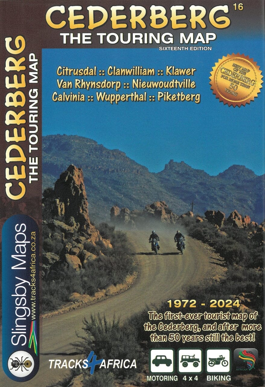
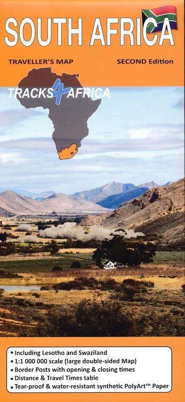
THE CEDERBERG, so different and yet so easily accessible from Cape Town, has a special magic. These mountains are unique in South Africa. The geography can be confusing, but with this map you can explore the secret kloofs, ethereal rock art and majestic mountains, and discover this magic for yourself.
This latest edition of the map now extends north to the flowery fields of Hantam and Knersvlakte – Vanrhynsdorp, Nieuwoudtville, Loeriesfontein and Calvinia.
Based on extensive field research – we walked almost every road and track – this map is an essential companion for any exploration of the region. The conversations we had with locals – farmers, shepherds, leopard researchers, archaeologists, rock art experts, botanists, climbers and hikers – gave us knowledge and perspective on every aspect of this extraordinary region. That’s why this map is packed with information and detail.
ISBN/EAN : 9781776322800
Publication date: 2023
Scale: 1/160,000 (1cm=1.6km)
Folded dimensions: 13 x 19cm
Language(s): English
Weight:
56 g
The exclusive newsletter for travel and discovery enthusiasts!
