Kootenay Rockies Back Road Atlas | Canadian Cartographics Corporation atlas Canadian Cartographics Corporation

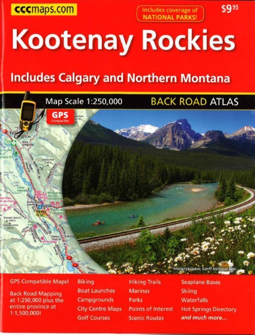
Kootenay Rockies Back Road atlas | Canadian Cartographics Corporation

Price
Regular price 4100 zł
Regular price Sale price 4100 zł
/
  • Shipping within 48 business hours from our warehouse in the USA. For this product, customs fees may be requested by the carrier upon delivery.
  • Shipping method and fees are shown at checkout
  • Free returns (*)
  • Real-time stock levels
  • In stock, ready to ship
  • Backordered, shipping soon
Tax included.

Frequently bought together:


This comprehensive, GPS-compatible road atlas is highly detailed, easy to read, and essential for traveling throughout this region. It contains detailed maps of the Kootenays, the Rockies, Banff, Airdrie, Canmore, Jasper, Revelstoke, Nelson, Lake Louise, Calgary, northern Montana, and more.
Features include: boat launches, campgrounds, golf courses, marinas, parks, points of interest, floatplane bases, scenic drives, skiing, hiking trails, town center maps, biking, waterfalls, a hot springs directory, national park coverage, and much more.

MAP SCALE:
Secondary roads at 1:250,000, entire province at 1:1,500,000

.


ISBN/EAN : 9781554861262
Publication date: 2016
Unfolded dimensions: 11.02 inches x 8.27 inches (28 x 21 cm)
Language(s): English
Weight: 290 g