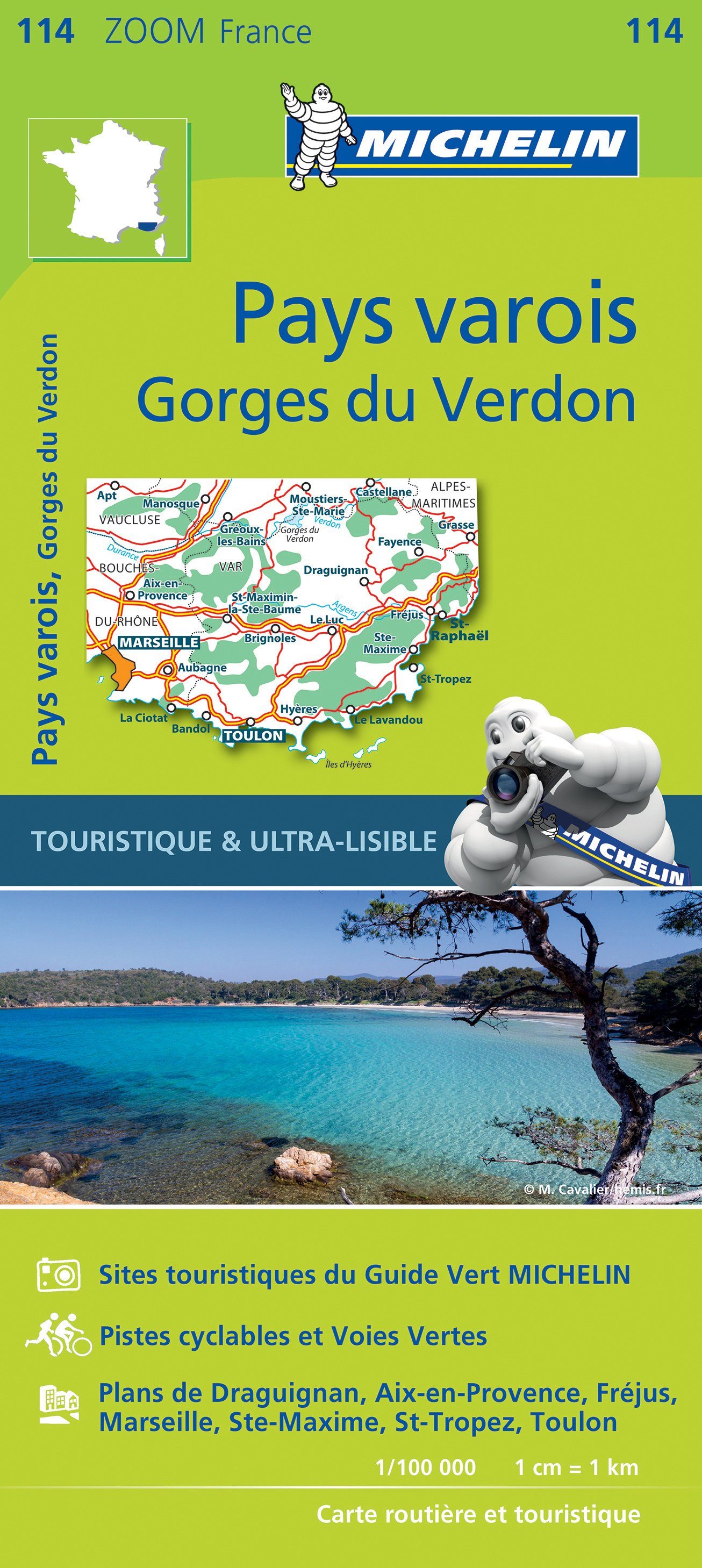
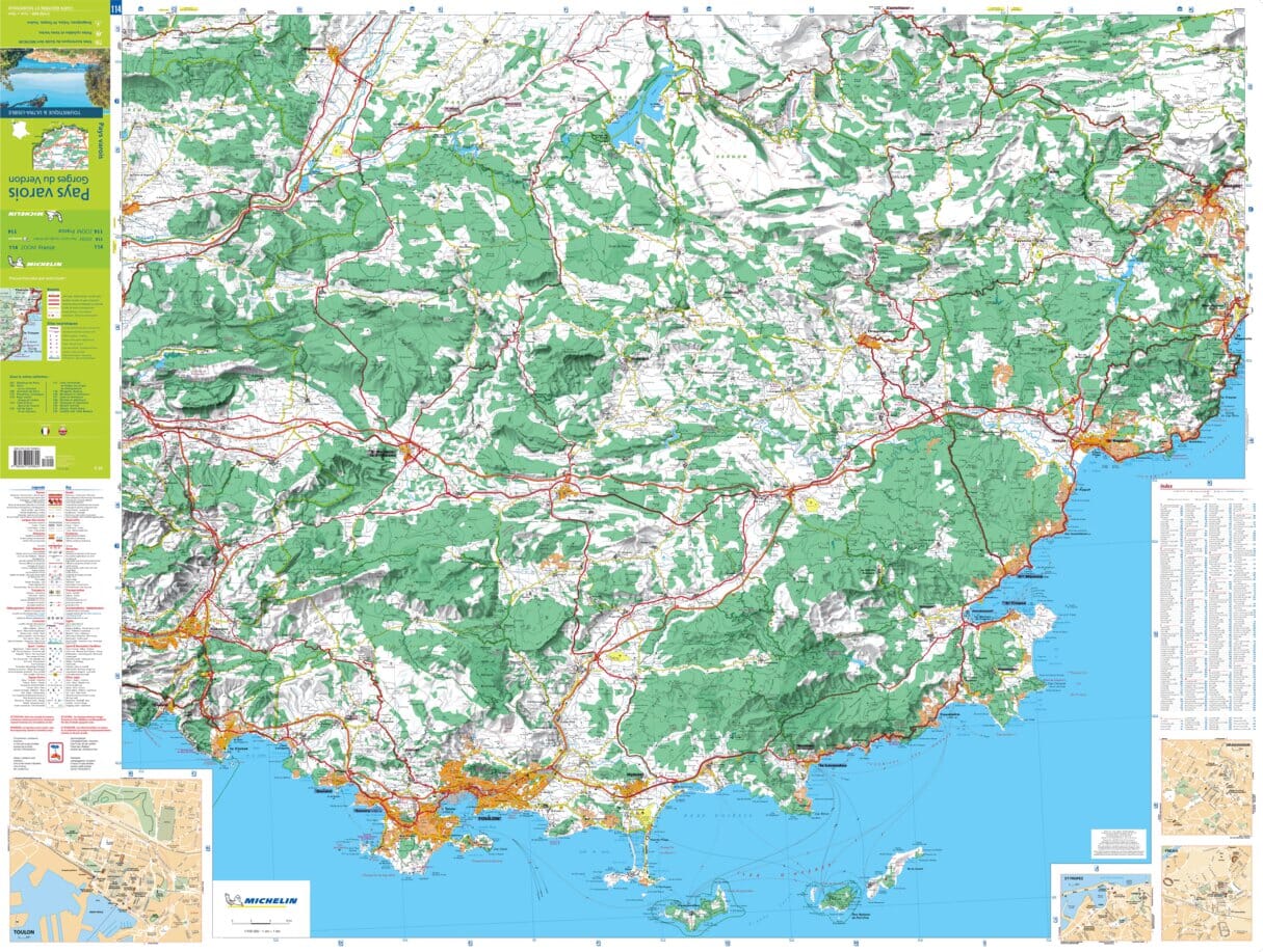
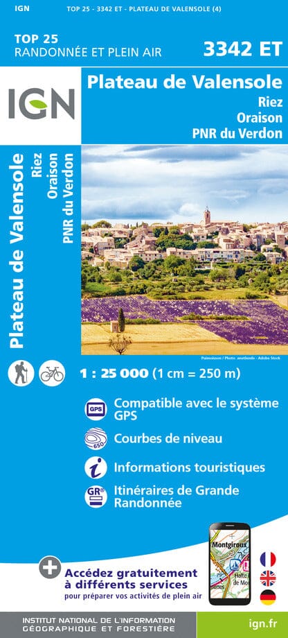
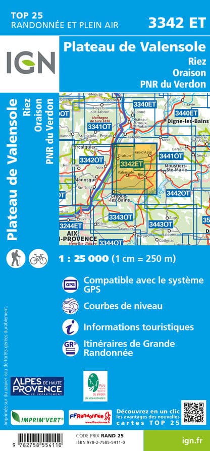
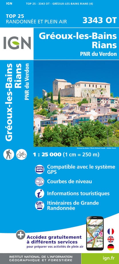
Map TOP 25 No. 3541 OT - Annot, St André les Alpes (Verdon PNR) | IGN

Price
Regular price 6200 zł
Regular price Sale price 6200 zł
/
  • Shipping within 24 working hours from our warehouse in France
  • Shipping method and fees are shown at checkout
  • Free returns (*)
  • Real-time stock levels
  • Low stock - 1 item left
  • Backordered, shipping soon
Tax included.

Frequently bought together:

Topographic Top 25 map of Annot and St André Les Alps (Verdon Regional Natural Park) published by IGN.

Hiking map with space curves spaced 10 meters and detailed legend (vegetation, rocks, streams etc ...). Indication of hiking trails.


ISBN/EAN : 9782758545699
Publication date: 2018
Scale: 1/25,000 (1cm=250m)
Printed sides: front
Folded dimensions: 23.6 x 11.2 x 0.5cm
Unfolded dimensions: 96 x 132cm
Language(s): French, English, German
Weight: 89 g