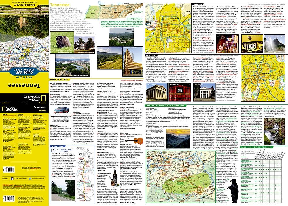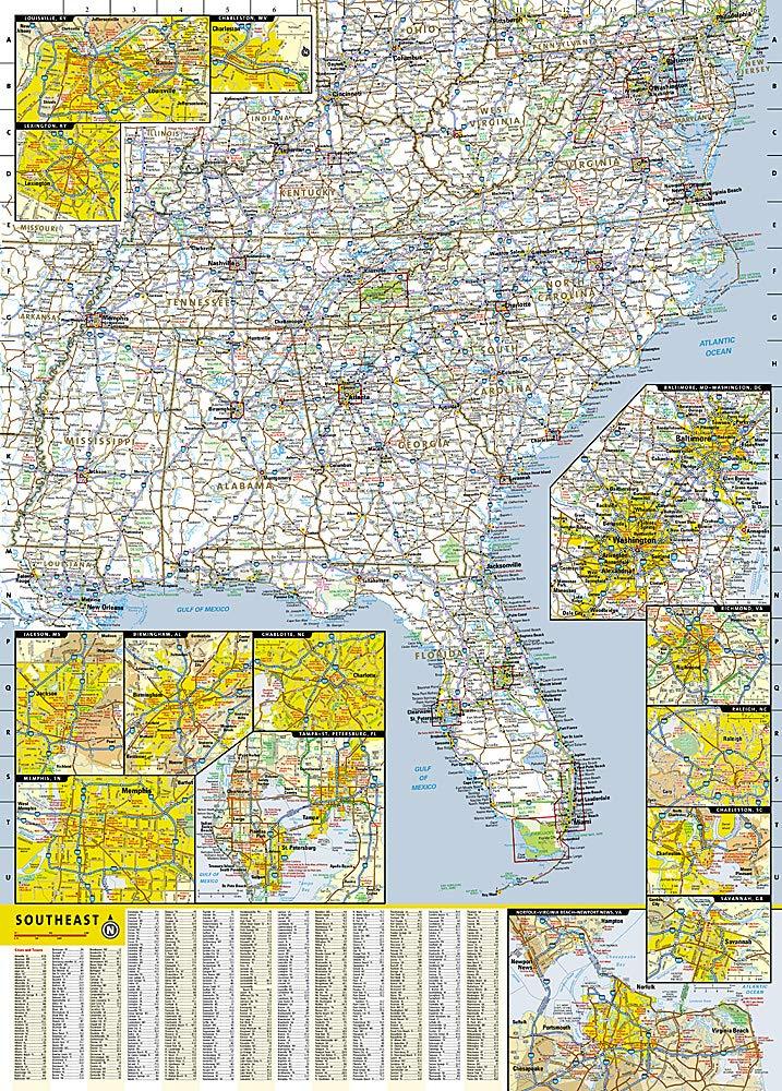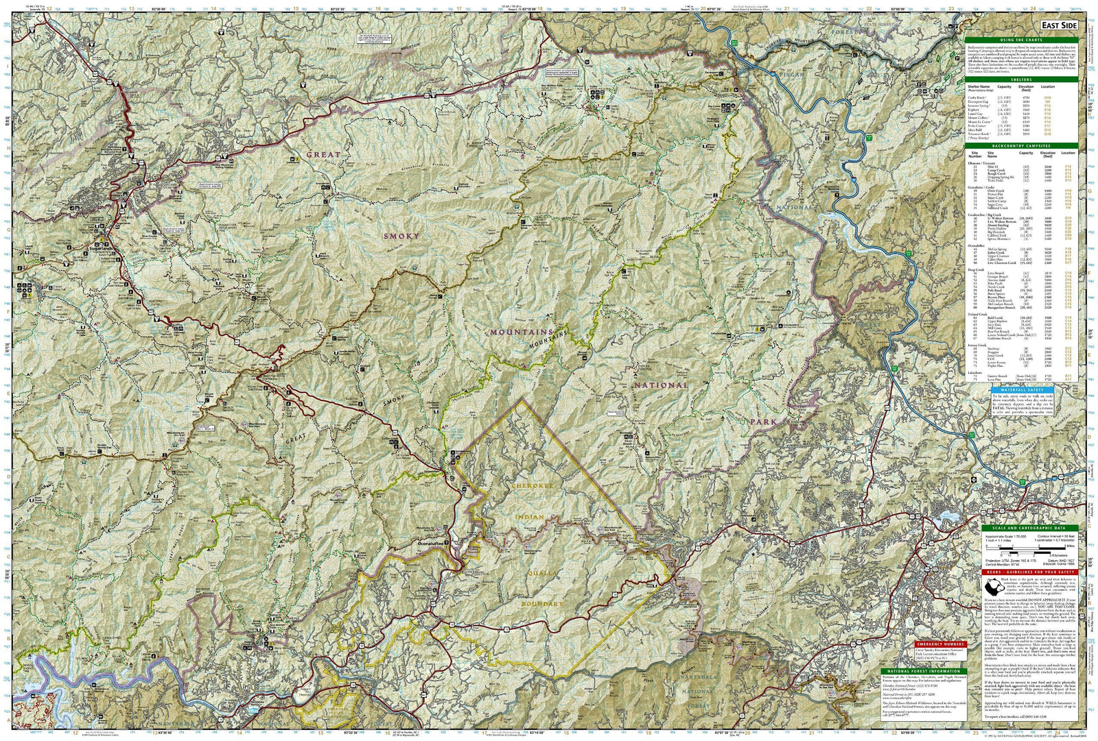
Hiking map No. 783 - South Holston & Watauga Lakes, Cherokee & Pisgah National Forests (Tennessee, North Carolina) | National Geographic
Regular price
6200 zł
Regular price
Sale price
6200 zł
/
- Shipping within 48 business hours from our warehouse in the USA. For this product, customs fees may be requested by the carrier upon delivery.
- Choose your delivery method and cost at checkout, before confirming your order.
- Free returns (*)
- Real-time inventory
- In stock, ready to ship