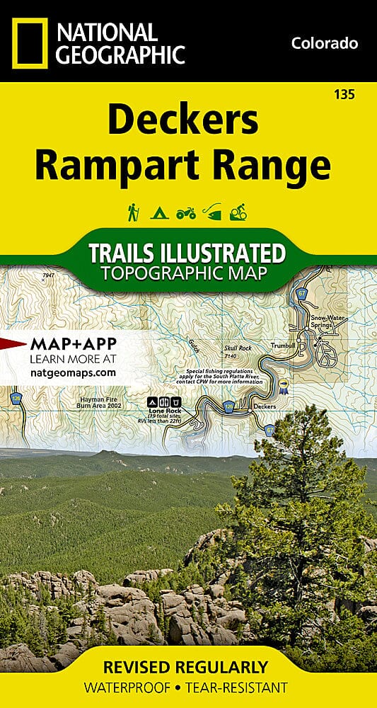
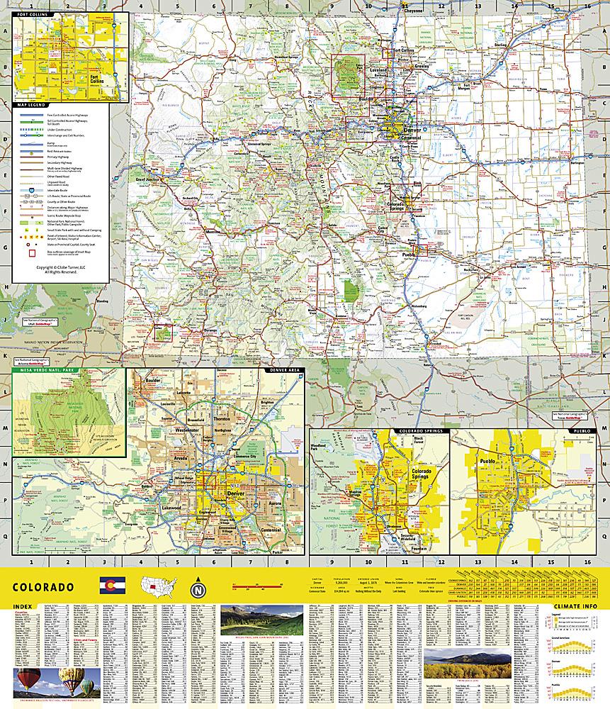
Deckers & Rampart Range (Colorado) hiking map published by National Geographic. This detailed map covers Pike National Forest; Roxborough State Park; Cheeseman Lake/Canyon; the gold medal trout waters of the South Platte River; the towns of Westcreek, Deckers, Pine Nook, Sprucewood, Pine, Buffalo Creek, and Waterton Canyon; Reynolds Park; and Stoney Pass. Includes portions of the Colorado Trail, trails, points of interest, and campgrounds. Waterproof and tear-resistant. Scale 1:25,000 & 1:50,000.
.
