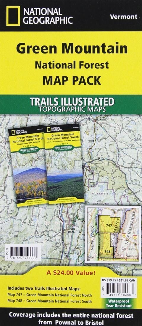
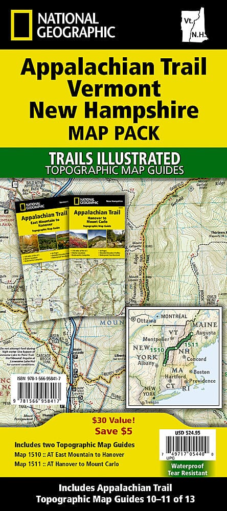
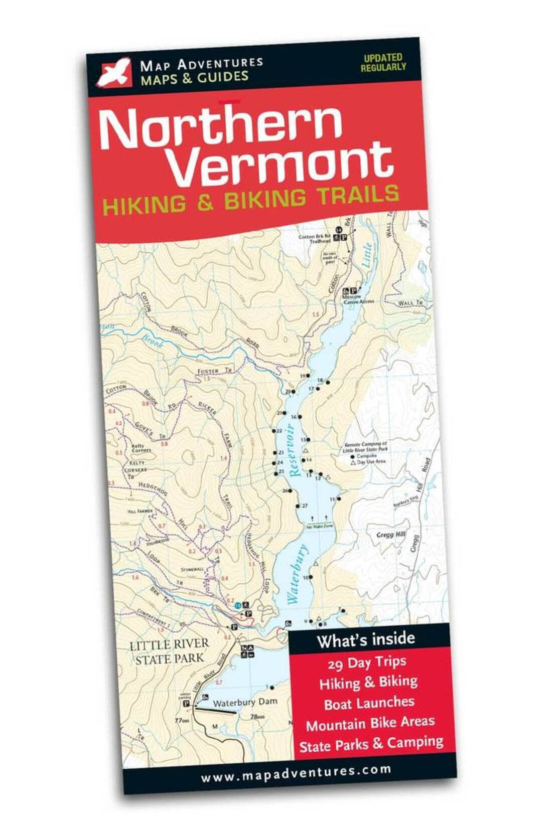
The Green Mountain National Forest Map Pack is the perfect companion for anyone planning a trip to Vermont's stunning Green Mountains. The Green Mountains are famous for their rugged peaks and breathtaking beauty. This map pack combines two maps that cover the Green Mountain National Forest in great detail. Large portions of the Appalachian Trail and the Catamount Trail are featured on these maps. Also shown are hiking trails with mileage between junctions, as well as points of interest such as campgrounds, visitor centers, observation towers, and much more.
Buy the map pack and save 15%!
The Green Mountain National Forest Map Pack includes:
.
-Map 747: Green Mountain National Forest North [Moosalamoo National Recreation Area, Rutland]
-Map 748: Green Mountain National Forest South [Robert T. Stafford White Rocks National Recreation Area, Manchester]
Each Trails Illustrated map is printed on waterproof and tear-resistant "Backcountry Tough" paper. A complete UTM grid is printed on the map to aid in GPS navigation.
