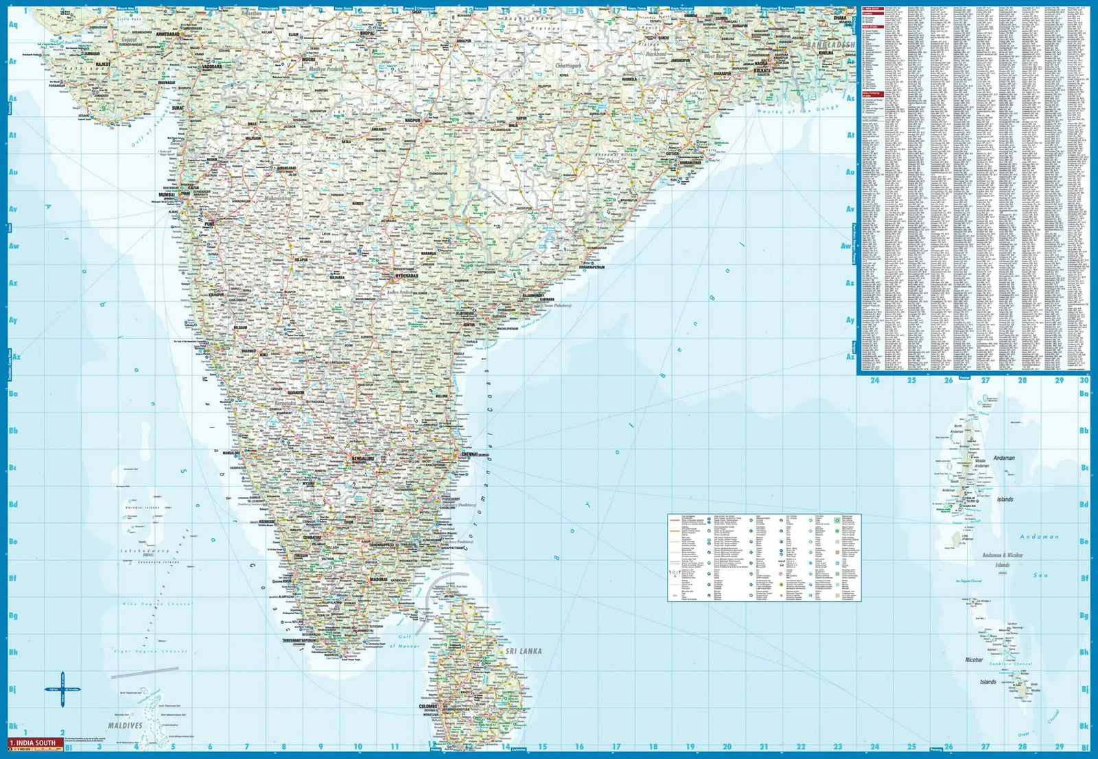
India Road map published by National Geographic. This map includes the location of towns and villages with a cities index and a clearly identified road network with distances and designations for roads / highways, plus secondary itineraries for those seeking to explore the country off the beaten track. Hundreds of points of interest are highlighted, including World Heritage sites, archaeological sites, Hindu and Buddhist temples, beaches and more. Airports, aerodromes, railway lines and ferry routes are also included. The front of the map covers the southern half of India, from the Vindhya chain to the city of Trivandrum. The map also includes Sri Lanka and an Insert of the Andaman Islands and Nicobar in Bengal Bay. The back of the map presents the northern half of the country, covering its borders with Pakistan, China, Nepal, Bhutan, Myanmar (Burma) and Bangladesh.
This detailed map of India is waterproof and resistant to tearing.
ISBN/EAN : 9781566955966
Publication date: 2019
Scale: 1/3 150,000 (1 cm = 31.5 km)
Printed sides: both sides
Folded dimensions: 23.5 x 10.7 x 0.8cm
Unfolded dimensions: 96 x 65cm
Language(s): English
Weight:
89 g