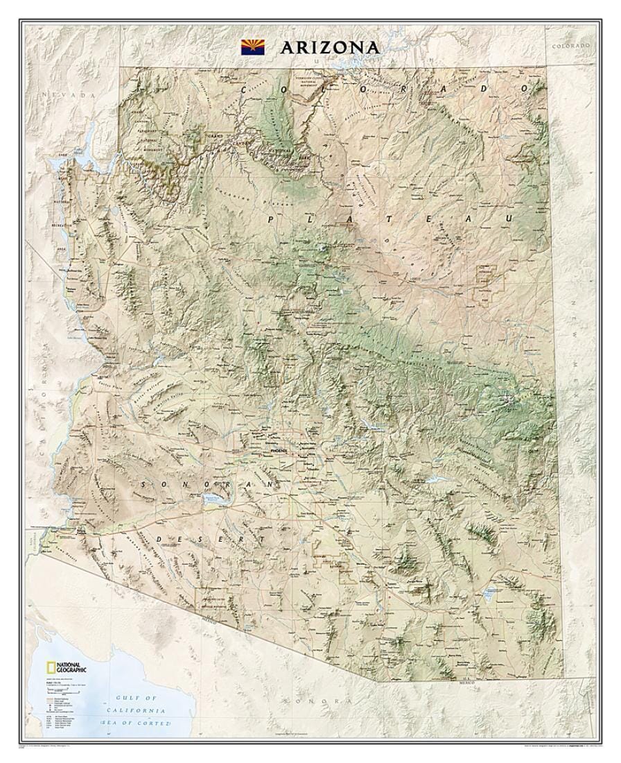
The National Geographic Arizona Wall Map is part of a growing series of state wall maps. From the Grand Canyon to the Sonoran Desert, the state is rendered in spectacular detail. Shaded relief and vibrant colors depict mountain ranges, forests, deserts, canyons, and other topographic features. Prominent peaks, major lakes, rivers, and reservoirs, and other geographic features are highlighted. In addition to hundreds of place names, this map shows the locations of cities, major roads and railroads, airports, military bases, ski resorts, national and state parks, and recreation areas. This expertly designed map makes an attractive addition to any office or study.
The map is packaged in a 2" diameter clear plastic tube. The tube features a decorative label showing a thumbnail of the map with dimensions and other relevant information.
The map is packaged in a 2" diameter clear plastic tube.
