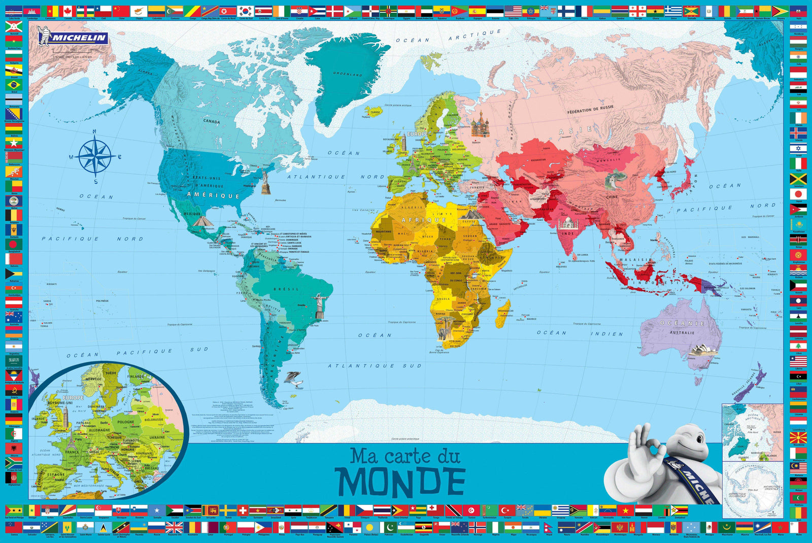
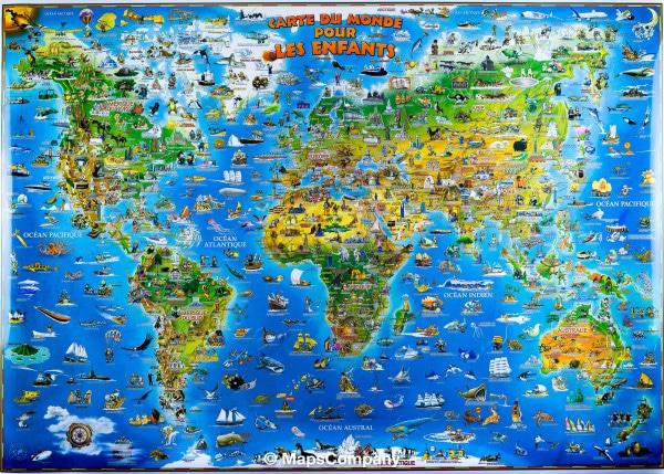
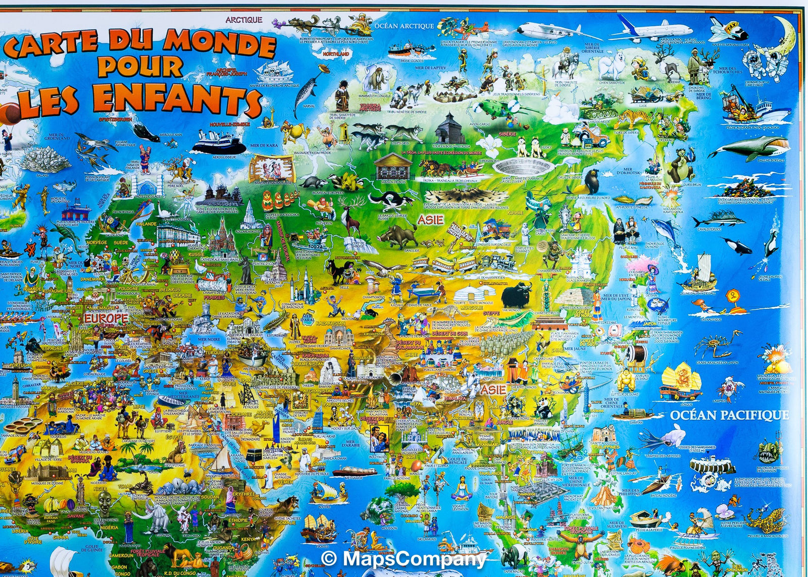
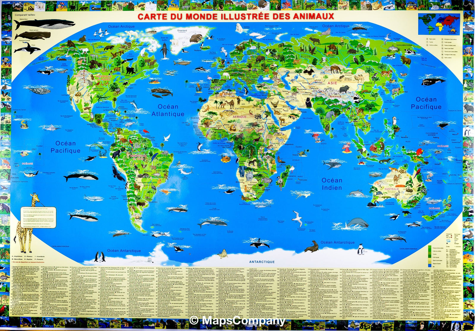
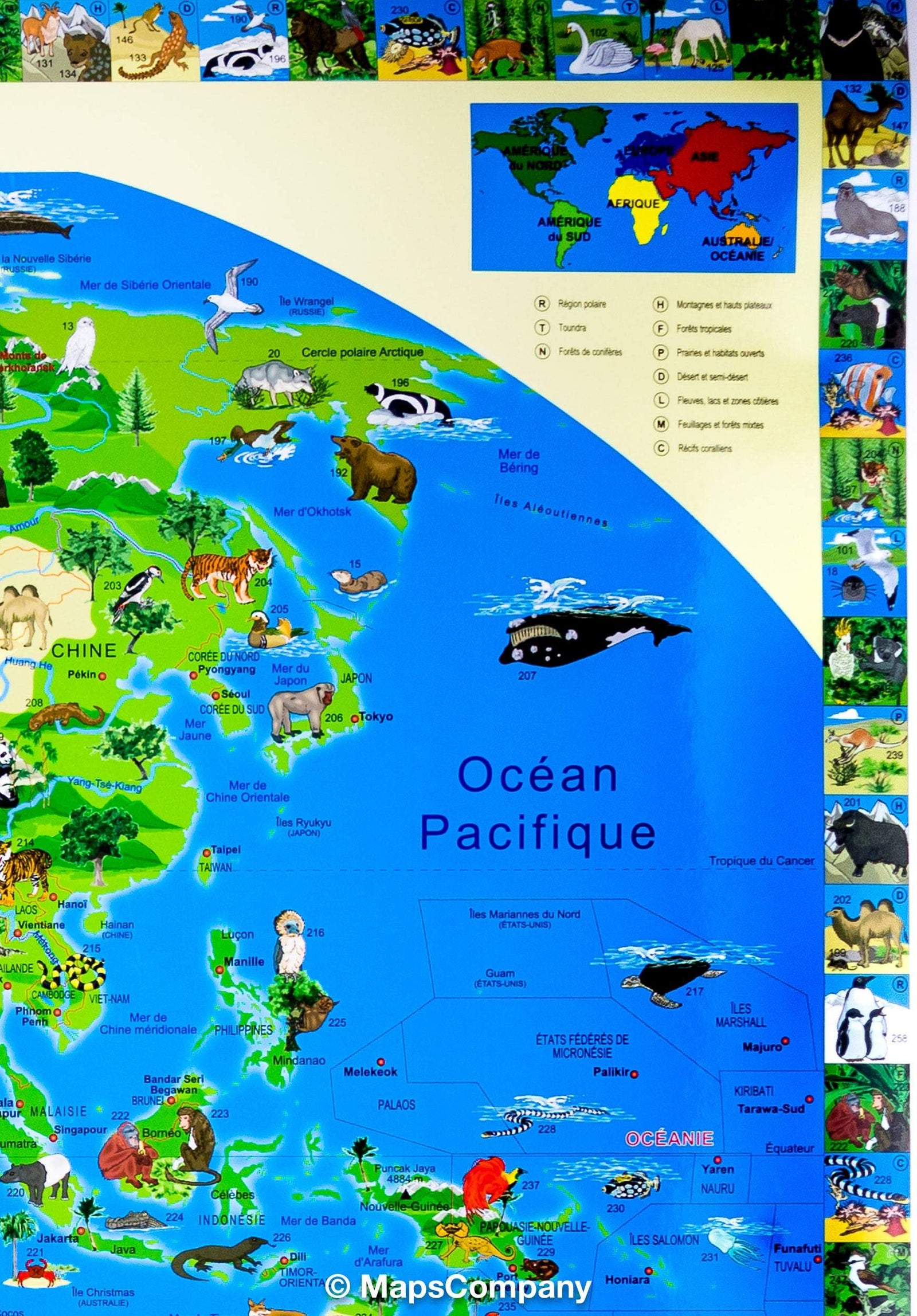
Illustrated wall mapfor Children - The World (95 x 135 cm) | Krüger & Schönhoff
- Shipping within 24 working hours from our warehouse in France
- Shipping method and fees are shown at checkout
- Real-time inventory
- In stock, ready to ship
Over 19,500 maps 🗺️ and travel guides, hiking maps, posters, globes, and décor items in stock!
Rated Excellent ⭐️ on Trustpilot — 9,000+ reviews from explorers and map lovers worldwide.
Explore the world, one map at a time 🗺️
This illustrated map of the world (English year) for children presents the world to young explorers in a fun and educational way. Highly colored illustrations attract interest and attention to the various parts of the world, linking points with good geographical locations and inevitably encourage your chils interest to better understand the world. Symbols illustrate each country. P>
The Wall map is as instructive as entertaining and brings us closer to the world in which we live. The mapping part is surrounded by national flags, arranged in alphabetical order. P>
Dimensions of this wall map: 95 x 135 cm. p>
ISBN / EAN : 9780755808069
Date de publication : 2012
Impression: front
Dimensions déplié(e) : 135 x 95cm
Langue : English
Poids :
421 g
J'ai en main une carte murale illustrée pour enfant en français des même auteurs. Est-elle encore disponible en français ?
The exclusive newsletter for travel and discovery enthusiasts!