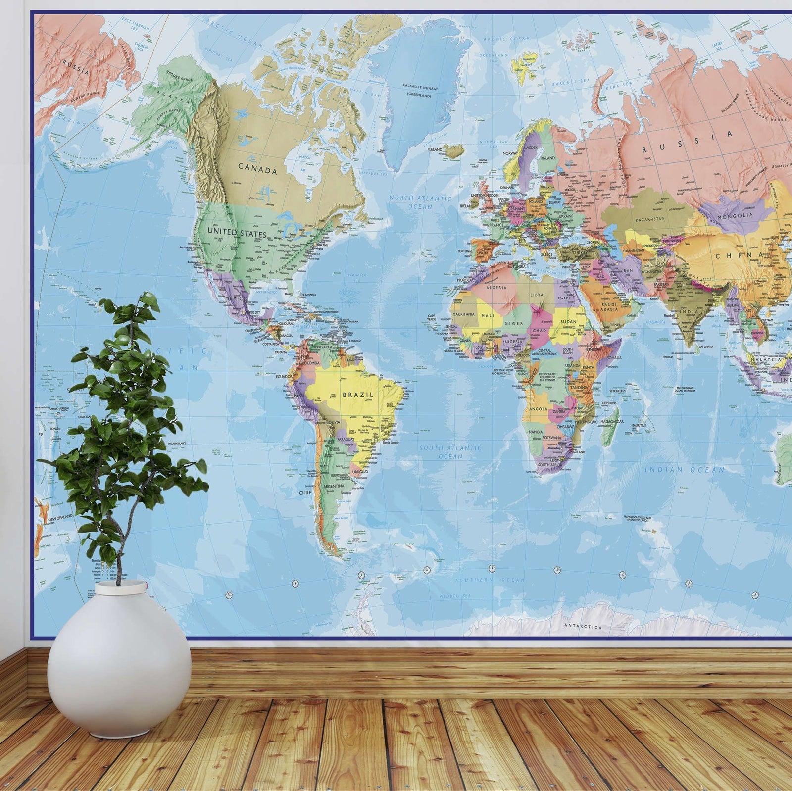
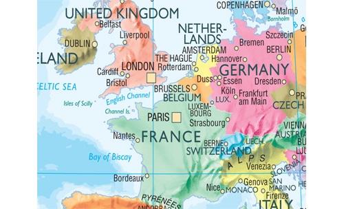
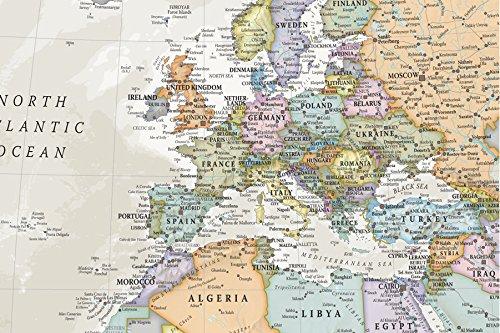
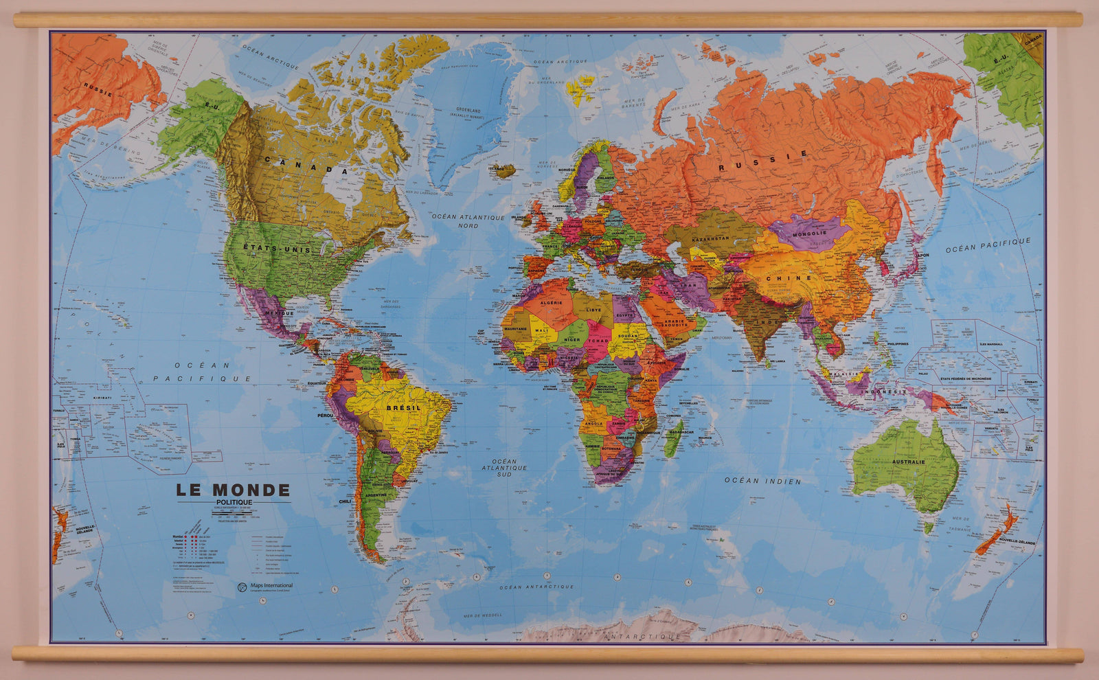
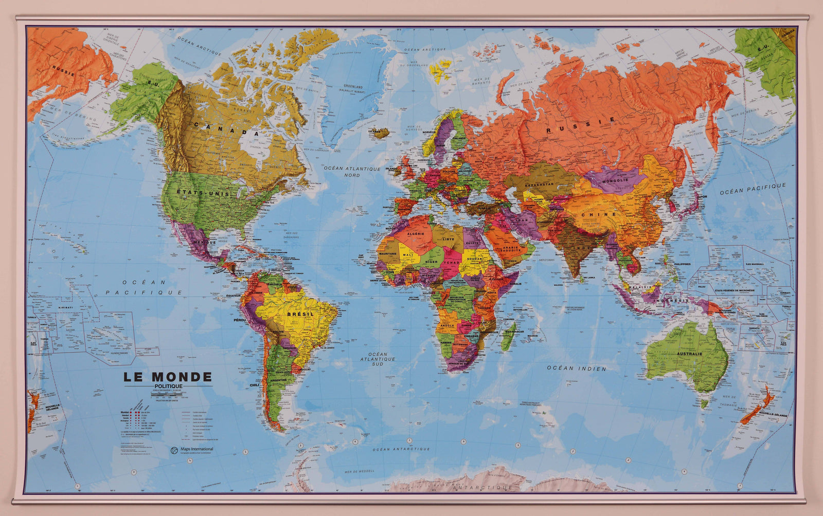
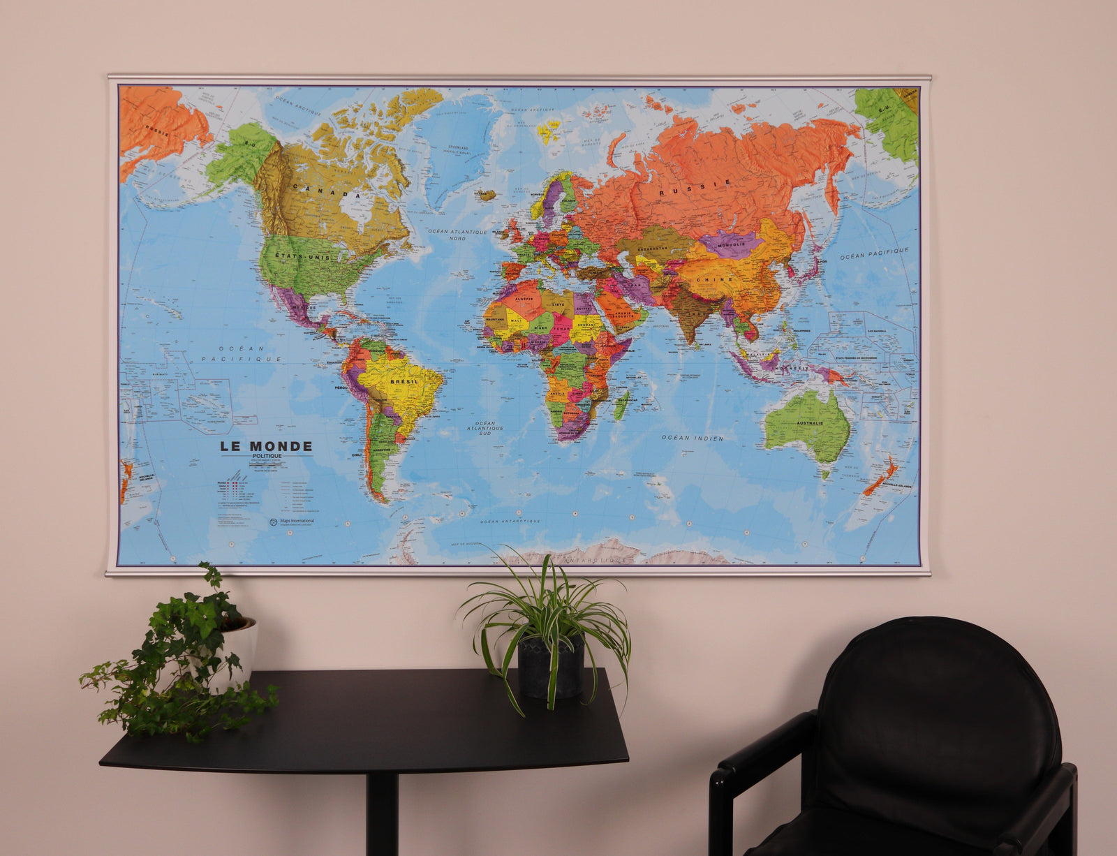
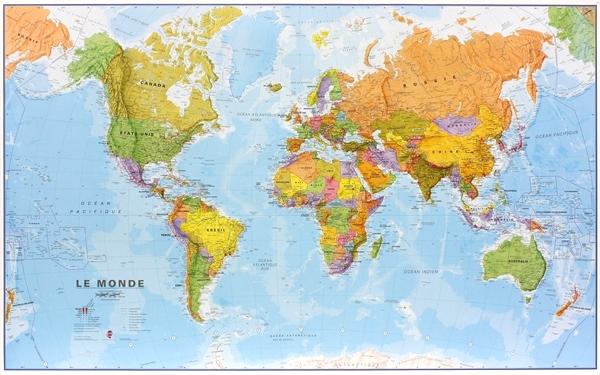
Wall map (in English) - Physical world - 1/30M (136 x 84 cm) | Maps International
- Shipping within 24 working hours from our warehouse in France
- Shipping method and fees are shown at checkout
- Real-time inventory
- Low stock - 1 item left
Over 19,500 maps 🗺️ and travel guides, hiking maps, posters, globes, and décor items in stock!
Rated Excellent ⭐️ on Trustpilot — 9,000+ reviews from explorers and map lovers worldwide.
Explore the world, one map at a time 🗺️
Physical World Wall Map (in English). Physical relief is successfully combined with rivers and country names. Borders are clearly displayed.
A blurring effect shows the mountain in an almost 3D effect. A symbol allows you to identify the highest mountain on the continents and in different countries.
Country names and boundaries are clearly marked. Symbols indicate capital cities and state or provincial capitals (where applicable). Within the United States, Canada, Brazil, and Australia, internal state or provincial boundaries are shown.
The variation in ocean depth is indicated by several shades of color. The mid-Pacific, from Alaska/Siberia to New Zealand, is shown at both ends of the map for a better representation of this region.
The projection used is the Van der Grinten projection.
The dimensions of the wall map are: 136 x 84 cm .
ISBN / EAN : 9781910378045
Date de publication : 2022
Echelle : 1/30,000,000 (1cm=300km)
Impression: front
Dimensions déplié(e) : 136 x 84cm
Langue : English
Poids :
300 g
The exclusive newsletter for travel and discovery enthusiasts!