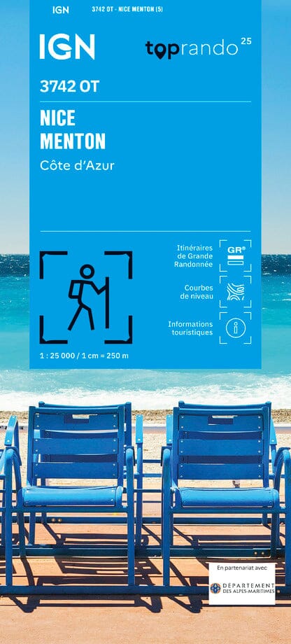
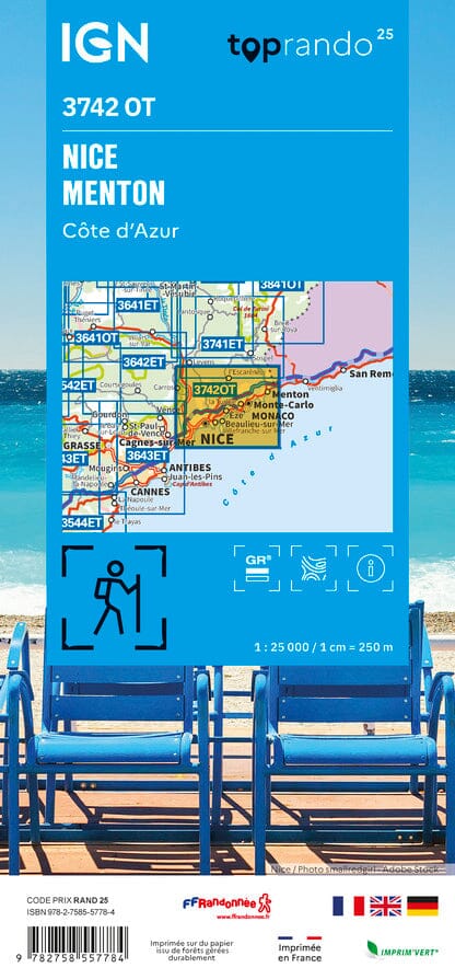
TOP 25 Map No. 3742 OT - Nice, Menton (Côte d'Azur) | IGN
- Shipping within 24 working hours from our warehouse in France
- Shipping method and fees are shown at checkout
- Free returns (*)
- Real-time stock levels
- In stock, ready to ship
Over 19,500 maps 🗺️ and travel guides, hiking maps, posters, globes, and décor items in stock!
Rated Excellent ⭐️ on Trustpilot — 9,000+ reviews from explorers and map lovers worldwide.
Explore the world, one map at a time 🗺️
TOP 25° 3742OT topographic map of the Nice and Menton region published by IGN. Hiking map with contour lines spaced 10 meters apart and detailed legend (vegetation, rocks, waterways, etc.).
Indication of hiking trails. Scale 1/25,000 (1 cm = 250 m).
Municipalities covered: Gattières, Berre-les-Alpes, Blausasc, Castellar, Beausoleil, Falicon, Tourrette-Levens, Bendejun, Cantaron, Castillon, Saint-Blaise, La Turbie, Gorbio, Carros, Aspremont, Saint-André-de-la-Roche, La Trinité, Colomars, Châteauneuf-Villevieille, Peille, Saint-Jean-Cap-Ferrat, Villefranche-sur-Mer, Menton, Sainte-Agnès, Cap-d'Ail, Roquebrune-Cap-Martin, Saint-Laurent-du-Var, Nice, Beaulieu-sur-Mer
Places to discover: French Prealps, Mont Chauve d'Aspremont, Mont Boron, Cap Martin, Mont Alban, Col d'êze, Cap Ferrat, Corn. du Var, Cara Valley, Paillon Gorges, Crans Castle, Bonmont Abbey, Castle, Carroz Cabin, Borsattaz Fir Trees, Saut du Day, Réclère Cave, Les Pralets Cabin, Rochefort Cabin, Roche d'Or Signal, Trois Chalets Cabin, Dent de Vaution Chalet
ISBN/EAN : 9782758557784
Publication date: 2025
Scale: 1/25,000 (1cm=250m)
Printed sides: front
Folded dimensions: 23.6 x 11.2 x 0.5cm
Unfolded dimensions: 96 x 132cm
Language(s): French, English, German
Weight:
89 g
The exclusive newsletter for travel and discovery enthusiasts!