Travel map - New Guinea | ITM
- Shipping within 24 working hours from our warehouse in France
- Choose your delivery method and cost at checkout, before confirming your order.
- Free returns (*)
- Real-time inventory
- In stock, ready to ship
Over 19,500 maps 🗺️ and travel guides, hiking maps, posters, globes, and decor in stock!
Over 19,500 maps 🗺️ and travel guides, hiking maps, posters, globes, and decor in stock!
Explore the world, one map at a time 🗺️
Explore the world, one map at a time 🗺️
Cartovia is rated Excellent ⭐️ on Trustpilot — 9,100+ reviews from explorers and map lovers worldwide.
Cartovia is rated Excellent ⭐️ on Trustpilot — 9,100+ reviews from explorers and map lovers worldwide
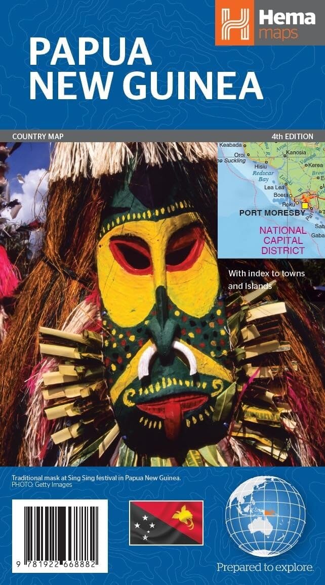
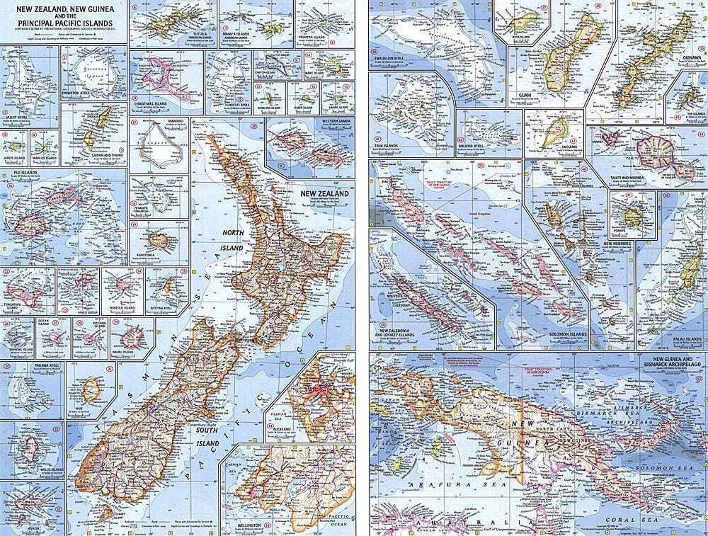
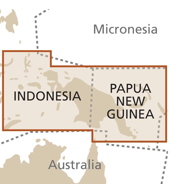
Road map of the new Guinea published by ITM. The South Pacific island of New Guinea is divided between two countries: The eastern, and somewhat more developed half, is the Republic of Papua New Guinea, and the western portion is the Indonesian province of West Irian.
One side of the map shows the eastern portion, along with the nearby islands of the Bismarck Archipelago and Bougainville Island of the Solomons. Whatever roads exist are shown, but most people fly from one destination to another.
The West Irian side can best be visited by inter-island boats, as roads are few. Several others Indonedian islands are included on this side, of which Seram/Ceram and Ambon are probably the best known. Most of East Timor is shown as well.
ISBN/EAN : 9781771295864
Publication date: 2025
Scale: 1/1,650,000 (1cm=16.5km)
Printed sides: both sides
Folded dimensions: 24.6 x 10.3 x 0.5cm
Unfolded dimensions: 100x70cm
Language(s): English
Weight:
51 g
The exclusive newsletter for travel and discovery enthusiasts!


