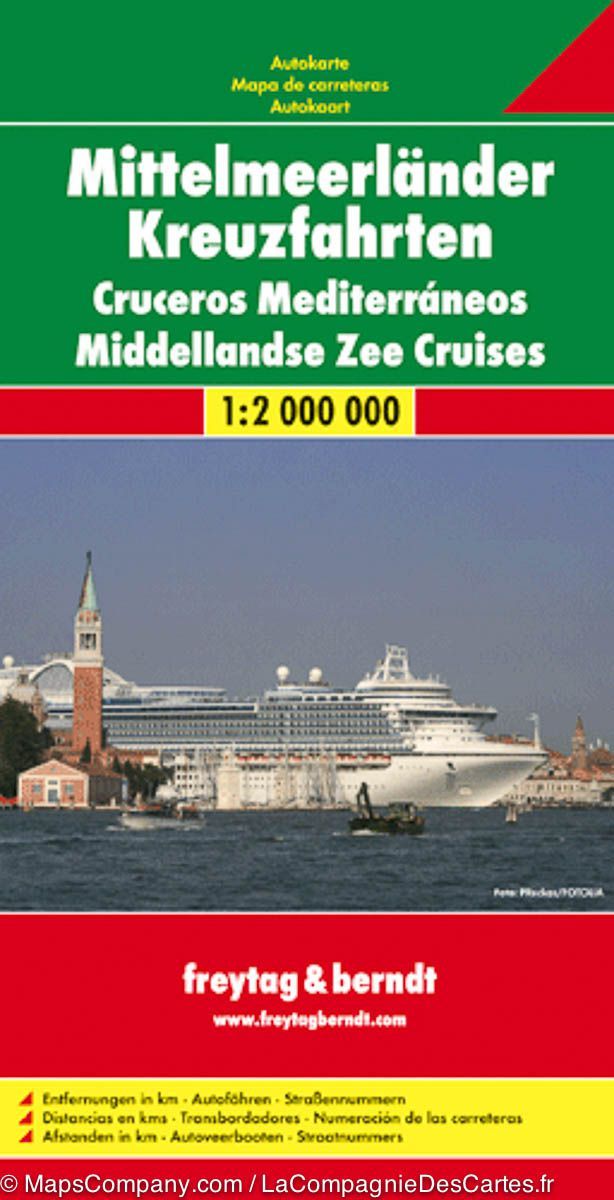
Travel map - Mediterranean Cruises | ITM
- Shipping within 24 working hours from our warehouse in France
- Choose your delivery method and cost at checkout, before confirming your order.
- Free returns (*)
- Real-time inventory
- In stock, ready to ship
Over 19,500 maps 🗺️ and travel guides, hiking maps, posters, globes, and decor in stock!
Over 19,500 maps 🗺️ and travel guides, hiking maps, posters, globes, and decor in stock!
Explore the world, one map at a time 🗺️
Explore the world, one map at a time 🗺️
Cartovia is rated Excellent ⭐️ on Trustpilot — 9,100+ reviews from explorers and map lovers worldwide.
Cartovia is rated Excellent ⭐️ on Trustpilot — 9,100+ reviews from explorers and map lovers worldwide
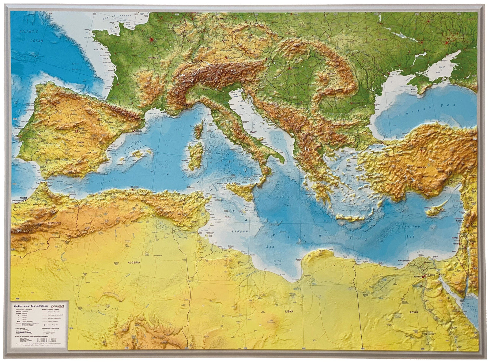
Double-sided map covering the eastern part on the front and the western part on the back of the Mediterranean area.
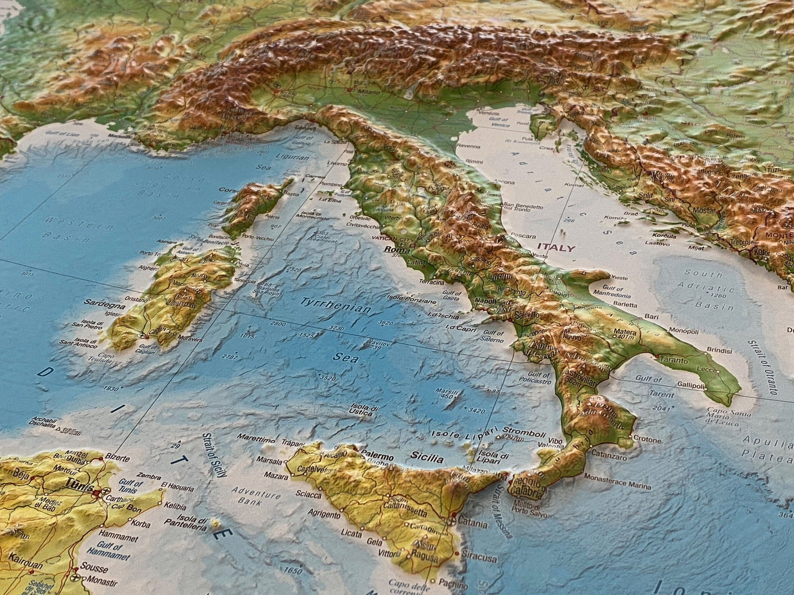
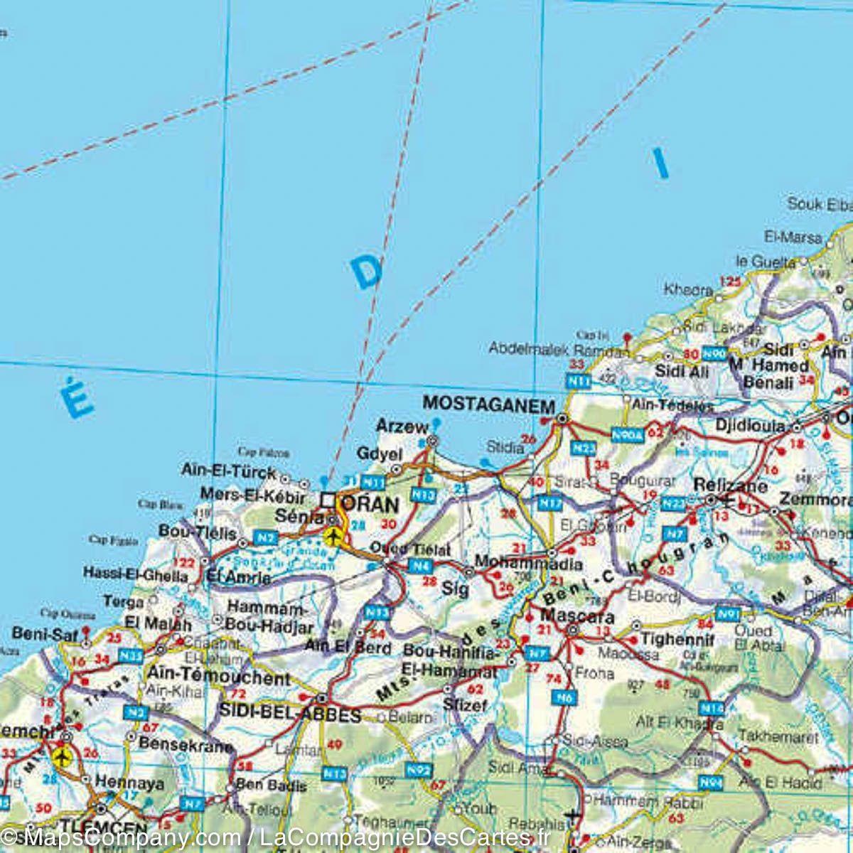
Publisher's Description: We faced a dilemma when designing this map, in that the shape of the sea is such that including the Strait of Gibraltar and the Dardanelles on the same map would require a compromise. Since few cruise ships now visit the North African coast, we focused on the portion from Morocco to Tunisia so that we could show Spain, France, Italy, Greece, the Balkans, and the Eastern Mediterranean, including the Black Sea. We had no idea that the war in Europe would have such an intense impact on what should be a pleasant tourist map. In any case, almost all cruise ship ports of call in 2022 are shown on this map, including those favored by small liners in the Adriatic Sea. We have also included common ferry routes between Italy and Greece and Marseille to Algiers.
ISBN/EAN : 9781771294782
Publication date: 2022
Scale: 1/ 2,200,000 (1 cm = 22 km)
Printed sides: both sides
Folded dimensions: 24.6 x 10.3 x 0.5cm
Unfolded dimensions: 100 x 69cm
Language(s): English
Weight:
49 g
The exclusive newsletter for travel and discovery enthusiasts!


