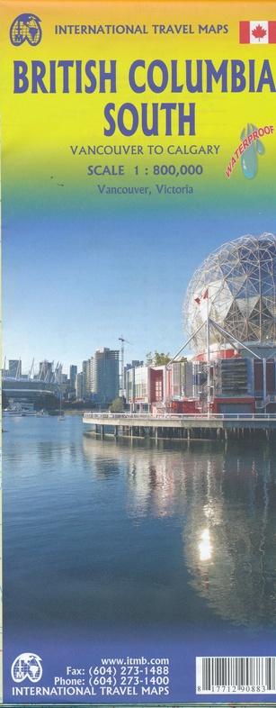
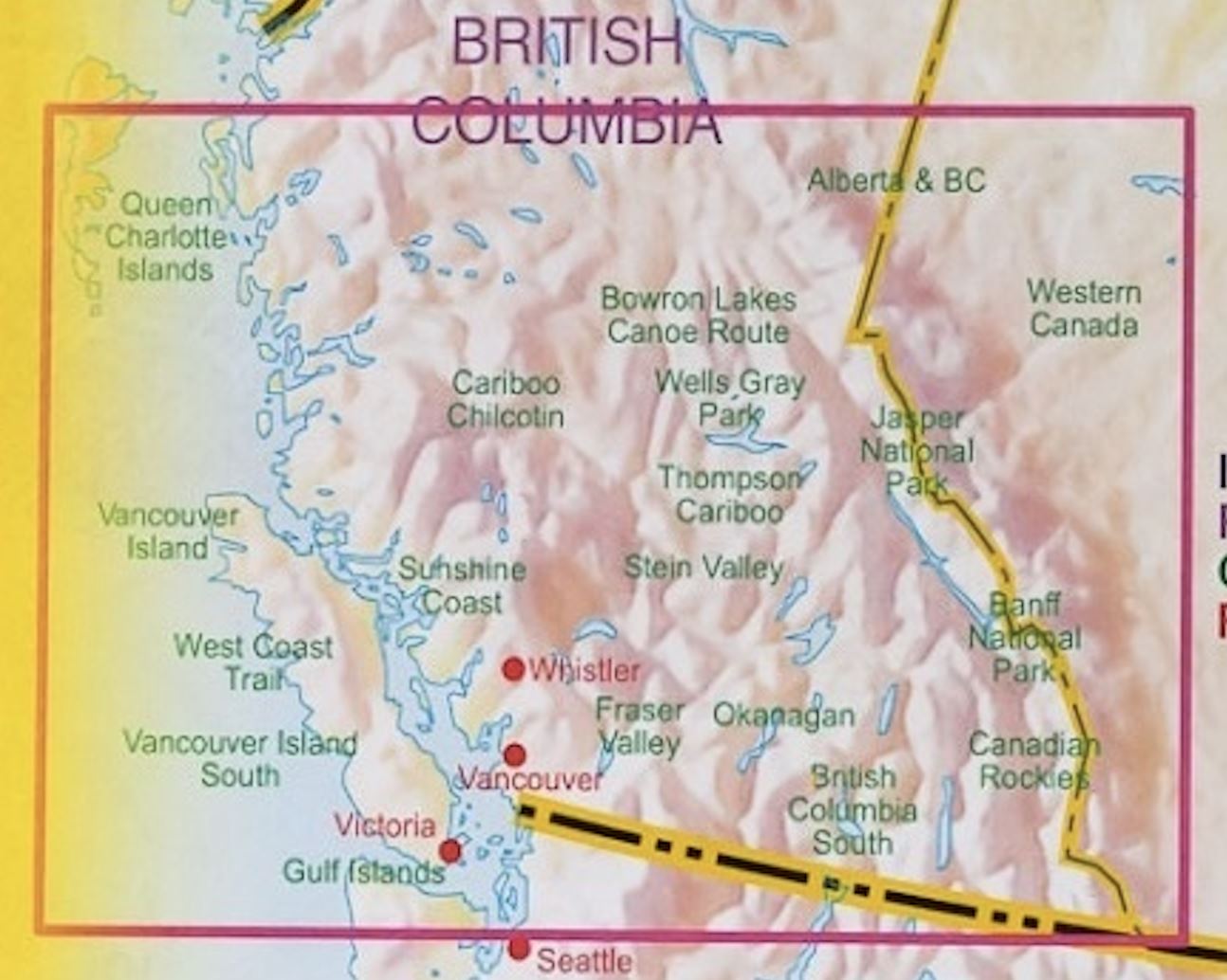
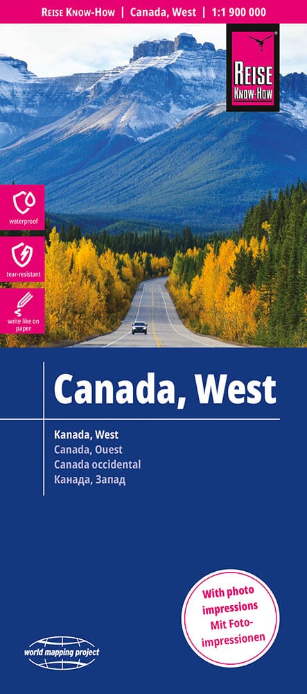
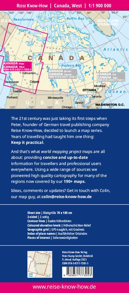
Topographic Map – Bowron Lake Provincial Park (British Columbia, Canada)
This detailed topographic map covers Bowron Lake Provincial Park , located in the majestic Cariboo Mountains of northern British Columbia. It is an essential tool for all outdoor enthusiasts wishing to explore this exceptional natural territory.
📌 Map contents:
-
Double-sided map :
-
Overview of 12 major lakes , ideal for planning the region's iconic canoe-camping circuit
-
Detail of the mountainous relief , the road network and the numerous trails
🚶 Activities covered:
-
Hiking
-
Horseback riding
-
Canoeing and kayaking
-
Cross-country skiing
Thanks to its level of precision and readability, this map is perfectly suited to independent exploration, whether on the water or in the mountains. An essential companion for discovering the wild splendors of Bowron Lake Provincial Park .