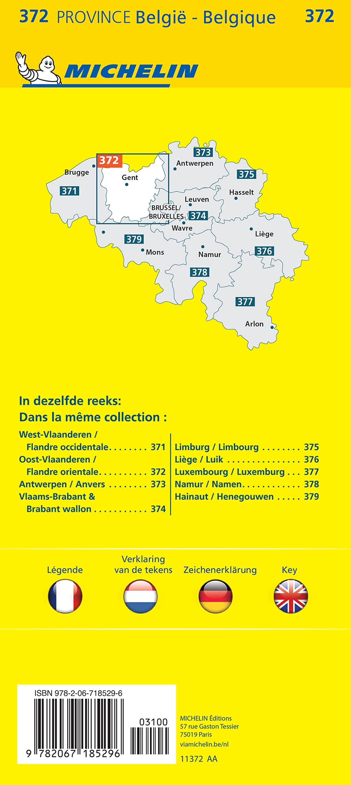
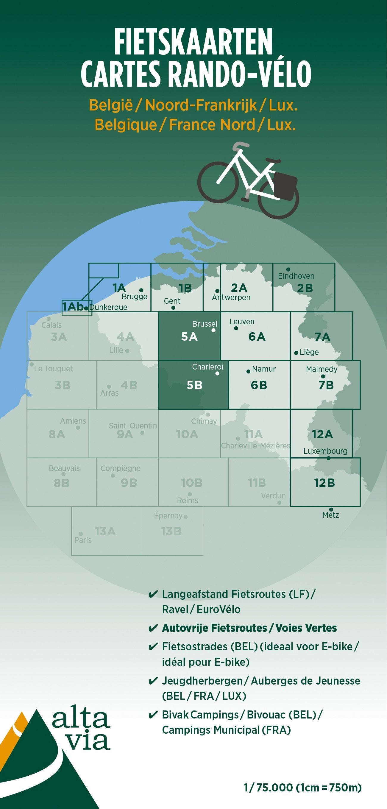
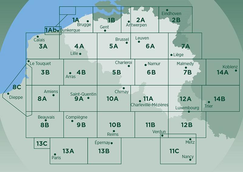
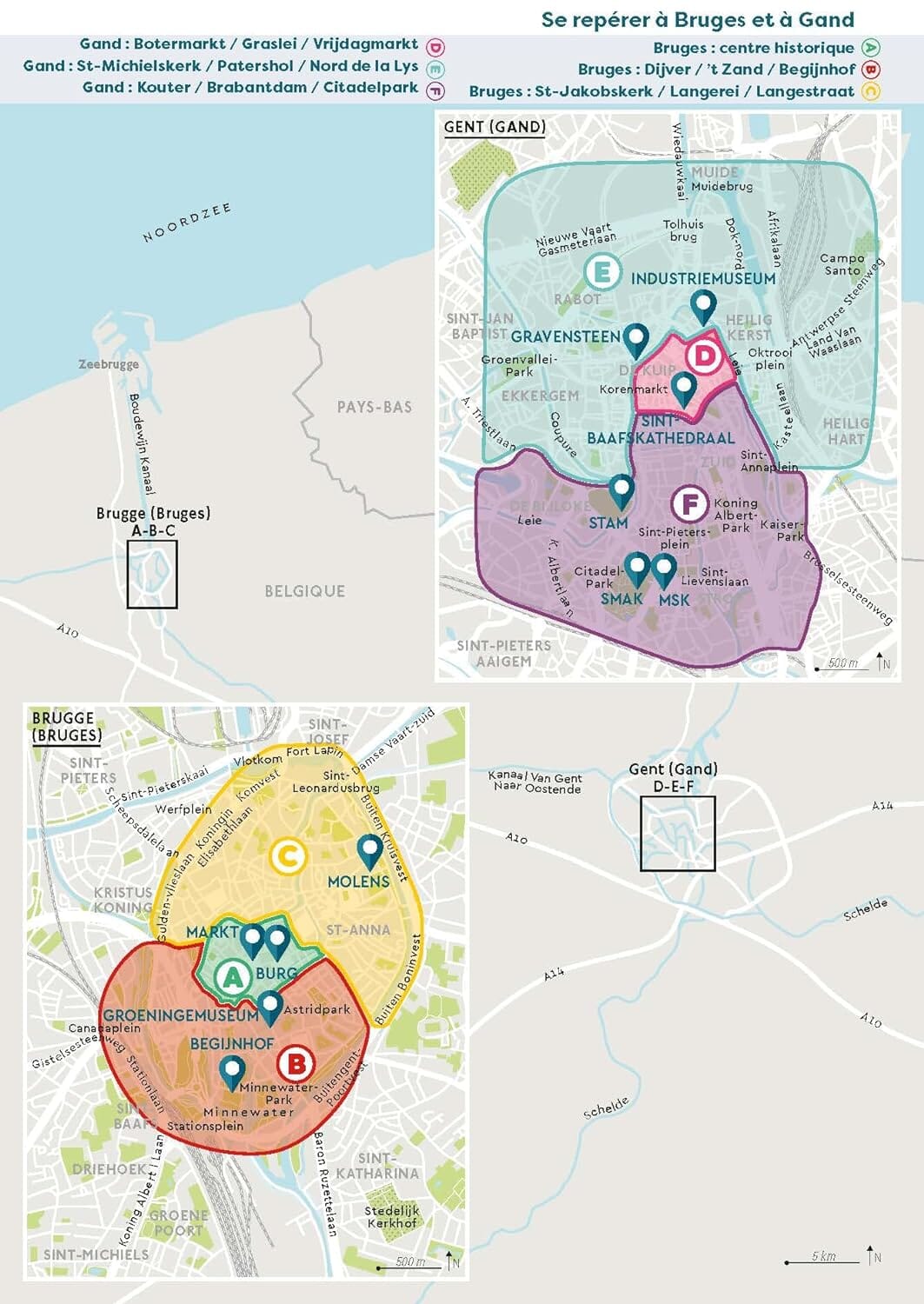
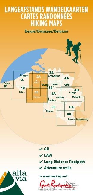
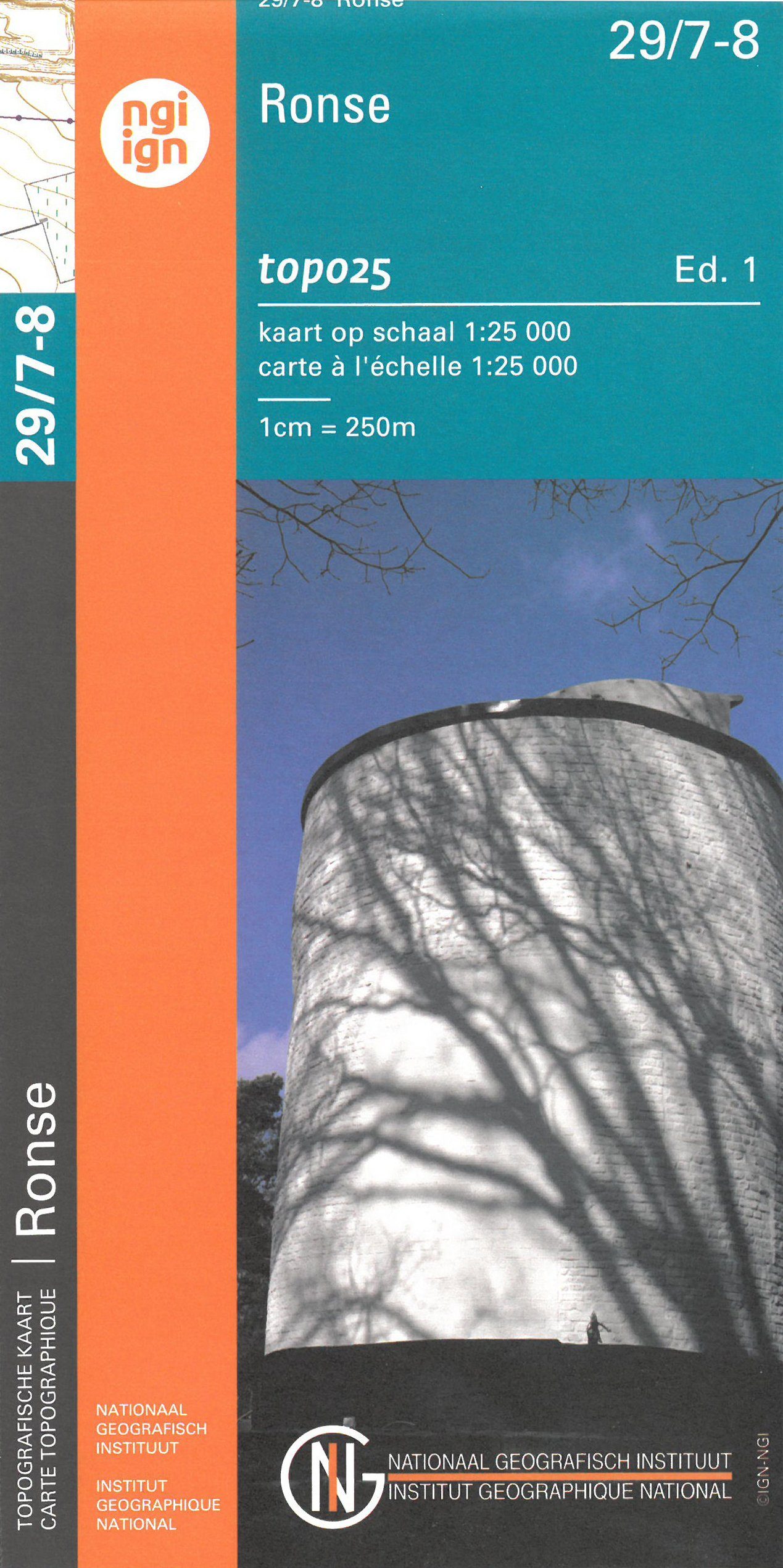
Waterproof topographic map covering Oudenarde, Kluisbergen, Avelgem, Anzegem, Markkedal, Horebeke, Ronse, Ellezelles. Hiking in the southwestern part of the Flemish Ardennes, using hiking nodes. An attempt has been made to include as many "slow roads" as possible in the network. Sometimes these paths cross fields and meadows: adventure guaranteed. In addition to the numbered nodes, Milieufront Omer Wattez VZW has also added its own nodes to this map, marked with a black dot. They begin with a letter followed by a number. These numbers are not visible on the ground. These additional nodes make the network more finely meshed and more adventurous.
ISBN/EAN : 9789462356009
Publication date: 2022
Scale: 1/15000 (1cm=150m)
Folded dimensions: 12 x 23cm
Language(s): Flemish
Weight:
50 g