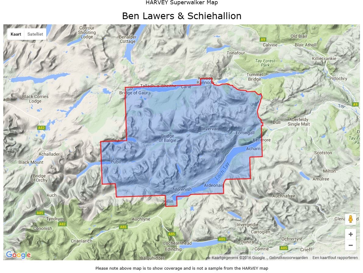
Hiking map - Ben Lawers & Schiehallion XT25 | Harvey Maps - Superwalker Maps
Regular price
10200 zł
Regular price
Sale price
10200 zł
/
- Shipping within 24 working hours from our warehouse in France
- Choose your delivery method and cost at checkout, before confirming your order.
- Free returns (*)
- Real-time inventory
- In stock, ready to ship