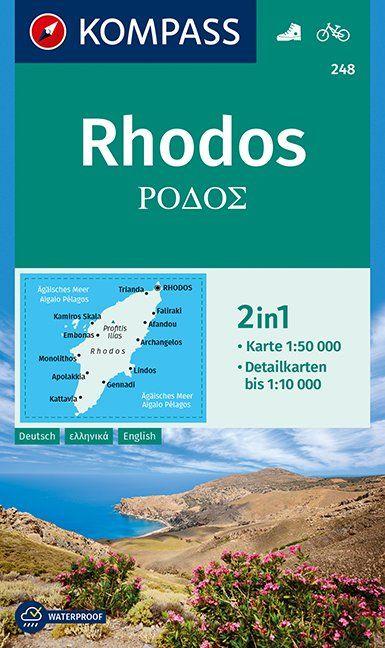
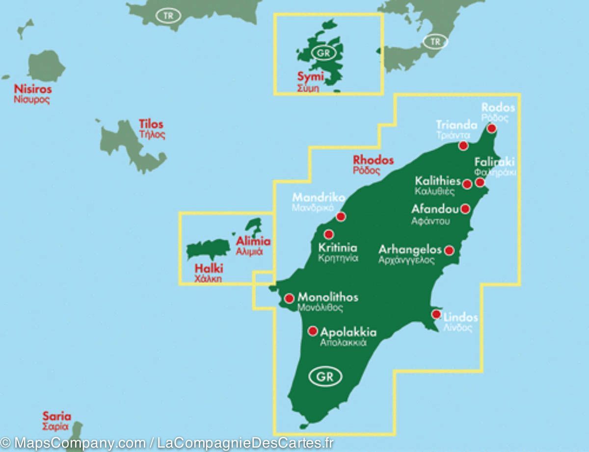
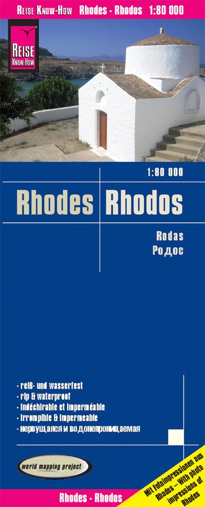
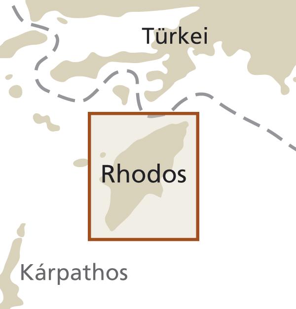
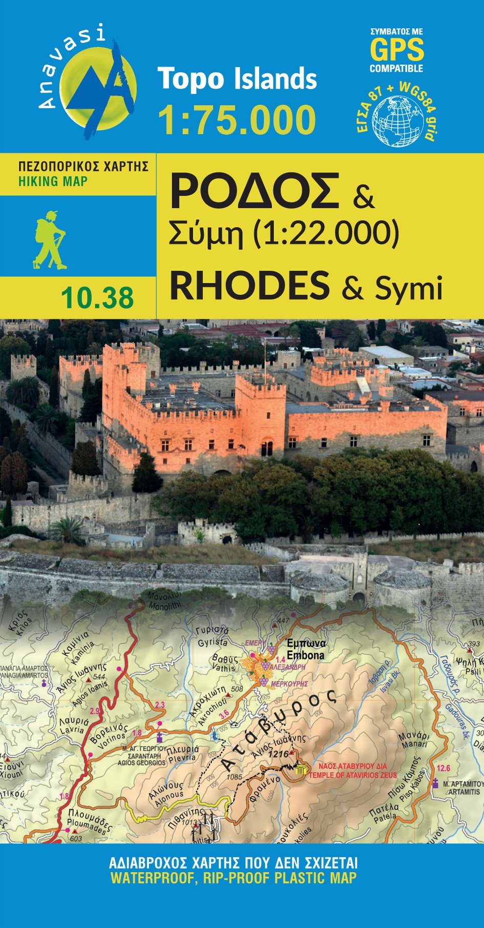
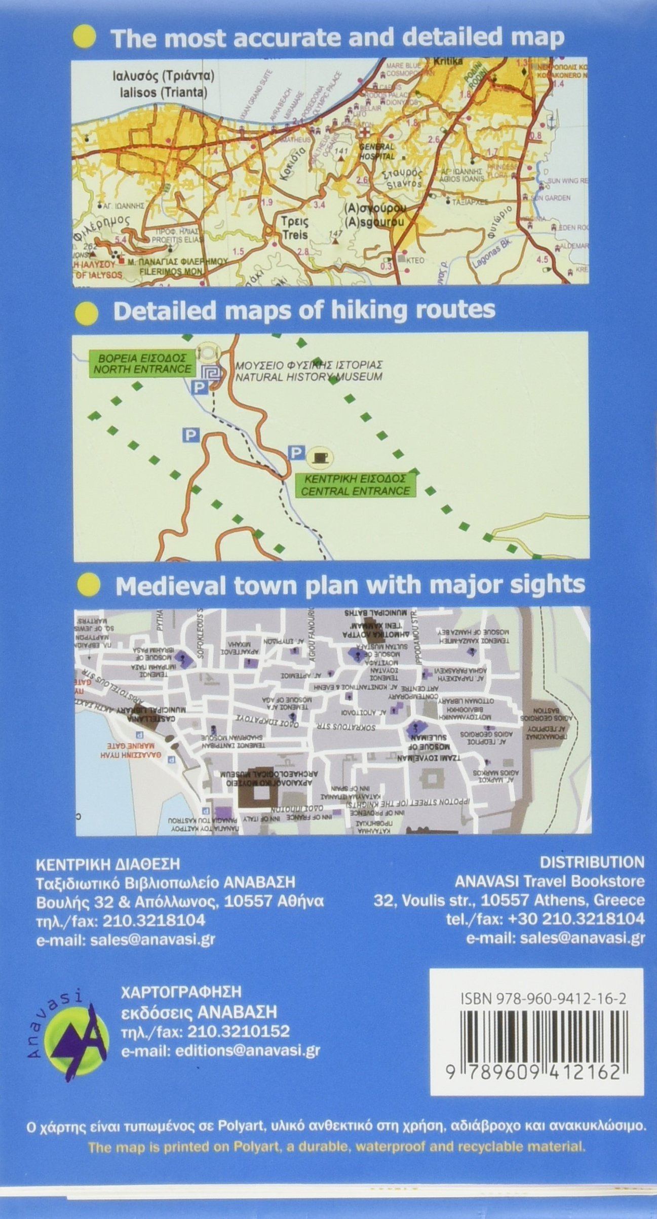
Hiking map No. 248 - Rhodes | Kompass
Regular price
3800 zł
Regular price
4600 zł
Sale price
3800 zł
/
- Shipping within 24 working hours from our warehouse in France
- Choisissez votre mode et vos frais de livraison à l’étape de paiement, avant de valider.
- Retours gratuits (*)
- Stocks en temps réel
- Low stock - 1 item left