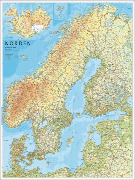
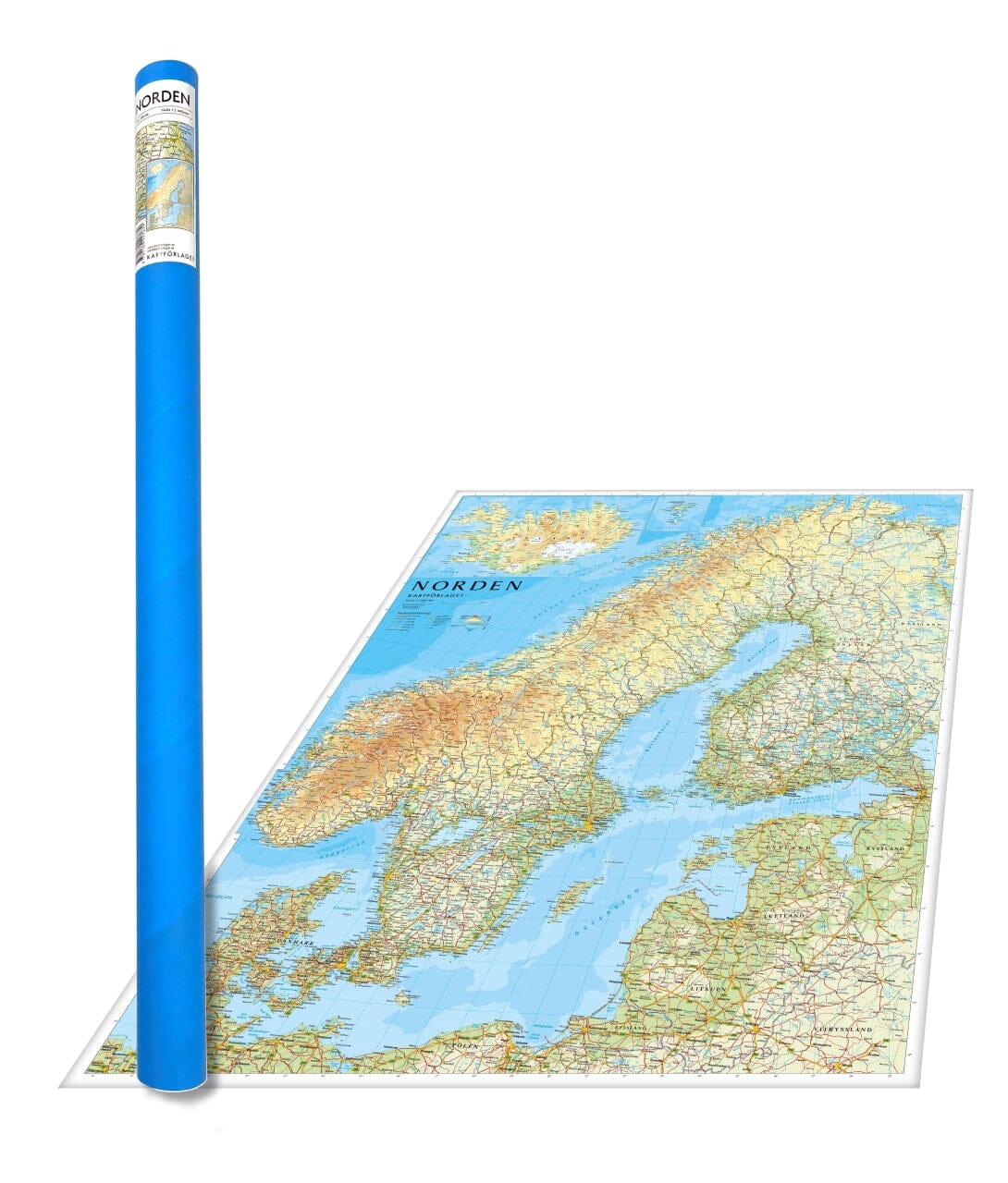
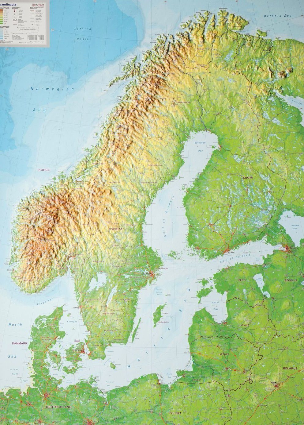
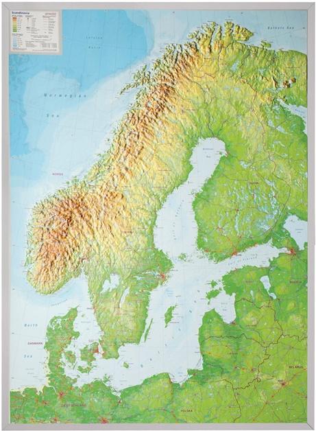
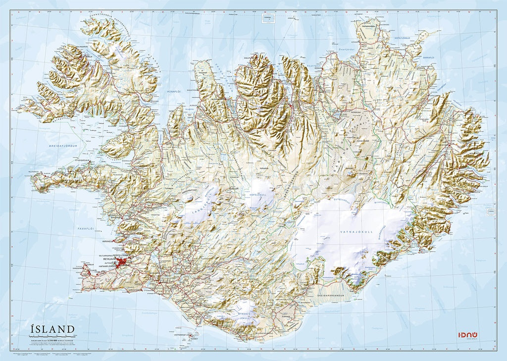
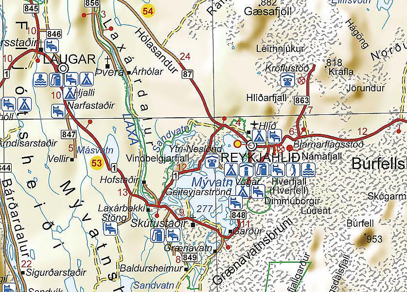
Wall map - Scandinavia & Iceland (physical) - 75 x 100 cm | Norstedts
- Expédition sous 7 à 10 jours ouvrés depuis notre entrepôt en France
- Frais de livraison calculés instantanément dans le panier
Plus de 19 500 cartes 🗺️ et guides de voyage, cartes de randonnée, posters, globes, déco en stock !
La Compagnie des Cartes devient Cartovia ✨ Notée Excellent ⭐️ sur Trustpilot (9 000+ avis).
Livraison gratuite pour toute commande > 50 € (cartes pliées et guides, France métropolitaine)
Poster of Scandinavia and Iceland with text in Swedish.
The map clearly shows mountains and mountain ranges thanks to height shading. Combined with the deep layers of the oceans, it brings the map to life. The map also clearly shows borders and capitals, as well as many cities and small towns in the Nordic countries.
Size 75 x 100 cm, delivered rolled in a tube.
ISBN / EAN : 9789189427679
Date de publication : 2024
Echelle : 1/2,000,000 (1cm=20km)
Dimensions déplié(e) : 75 x 100 cm
Langue : Swedish
Poids :
200 g
L'infolettre exclusive des passionnés de voyage et de découverte !