Utah, carte facile à lire | Rand McNally carte routière Rand McNally

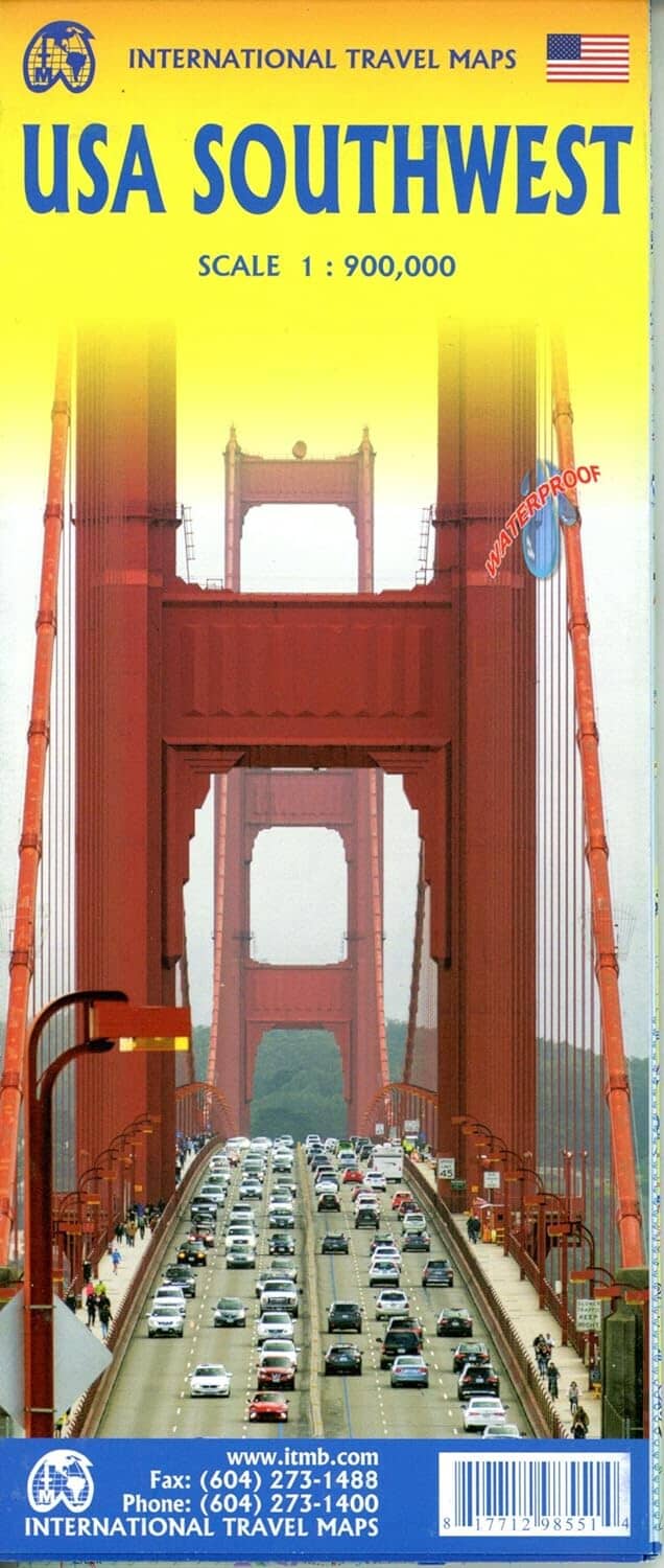
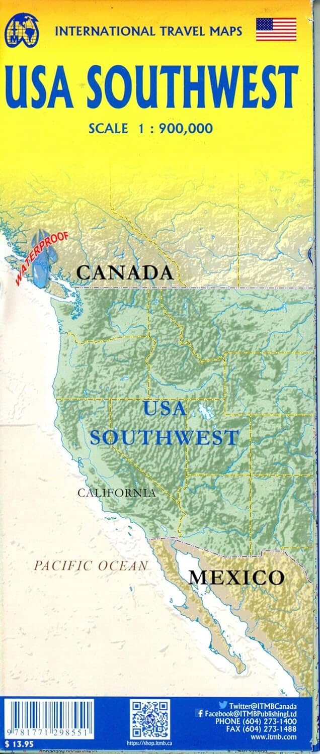
Utah, Easy-to-Read Map | Rand McNally

Price
Regular price 4200 zł
Regular price Sale price 4200 zł
/
  • Shipping within 48 business hours from our warehouse in the USA. For this product, customs fees may be requested by the carrier upon delivery.
  • Choisissez votre mode et vos frais de livraison à l’étape de paiement, avant de valider.
  • Retours gratuits (*)
  • Stocks en temps réel
  • In stock, ready to ship
  • Backordered, shipping soon
Tax included.

Souvent achetés ensemble :

Features:
Points of Interest
State Parks Chart
State Mileage Chart
Driving Time Map
Roadside Toolbox
Visitor Center Information
Climate Data
State Facts and Symbols
Easy-to-Use Legend
Detailed Index
Detailed maps include: Arches National Park, Bryce Canyon National Park, Canyonlands National Park, Capitol Reef National Park, Logan, Ogden, Provo, St. George, Salt Lake City and Surrounding Areas, Downtown Salt Lake City, and Zion National Park.


ISBN/EAN : 9780528027796
Publication date: 2021
Folded dimensions: 9.06 inches x 4.33 inches (23 x 10 cm)
Unfolded dimensions: 40.16 inches x 27.95 inches (102 x 70 cm)
Language(s): English
Weight: 1.9 oz